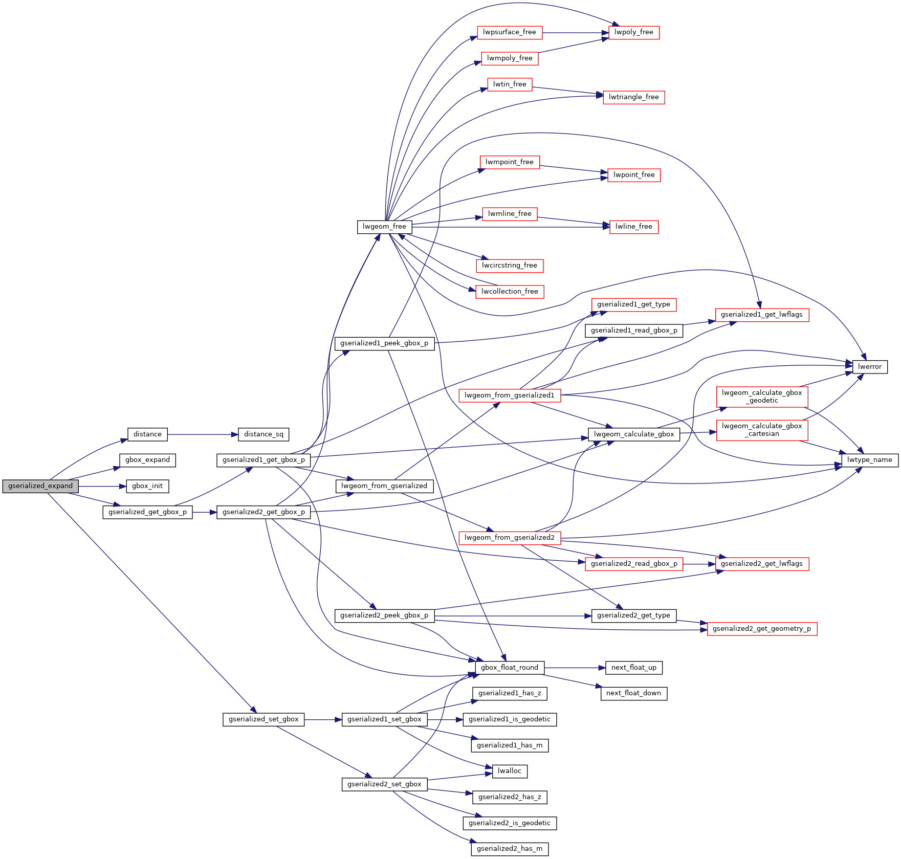
◆ gserialized_expand()
| GSERIALIZED* gserialized_expand | ( | GSERIALIZED * | g, |
| double | distance | ||
| ) |
Return a GSERIALIZED with an expanded bounding box.
Definition at line 621 of file gserialized_gist_nd.c.
void gbox_expand(GBOX *g, double d)
Move the box minimums down and the maximums up by the distance provided.
Definition: gbox.c:97
int gserialized_get_gbox_p(const GSERIALIZED *g, GBOX *gbox)
Read the box from the GSERIALIZED or calculate it if necessary.
Definition: gserialized.c:65
GSERIALIZED * gserialized_set_gbox(GSERIALIZED *g, GBOX *gbox)
Copy a new bounding box into an existing gserialized.
Definition: gserialized.c:31
Definition: liblwgeom.h:338
References distance(), gbox_expand(), gbox_init(), gserialized_get_gbox_p(), gserialized_set_gbox(), and LW_FAILURE.
Referenced by geography_expand().
Here is the call graph for this function:
Here is the caller graph for this function: