Loading...
Searching...
No Matches
◆ test_lwgeom_voronoi_diagram()
|
static |
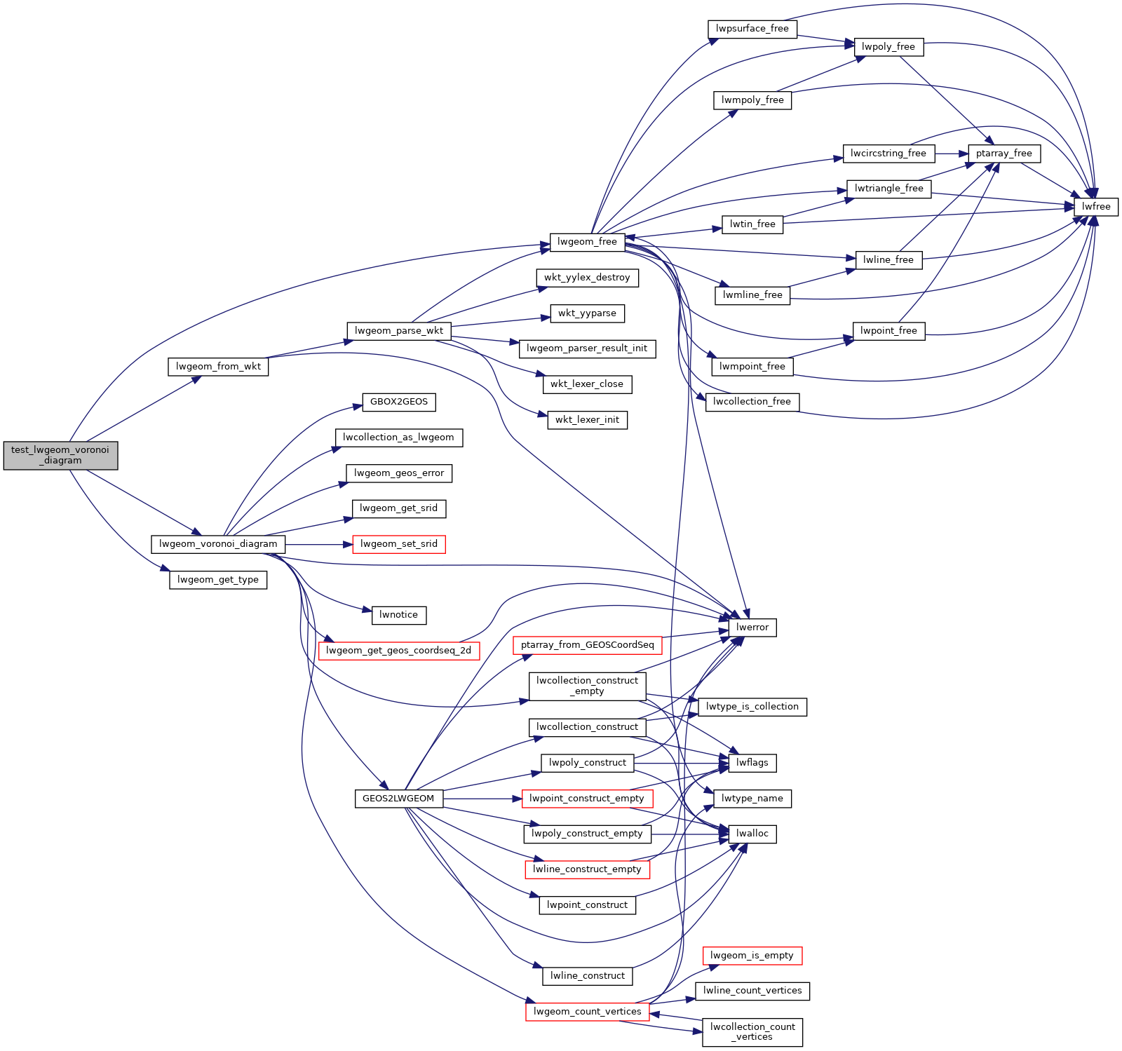
Definition at line 47 of file cu_triangulate.c.
48{
50
53
54 /* For boundaries we get a generic LWCOLLECTION */
56 /* For lines we get a MULTILINETYPE */
58
59 lwgeom_free(in);
60 lwgeom_free(out_boundaries);
61 lwgeom_free(out_lines);
62}
LWGEOM * lwgeom_voronoi_diagram(const LWGEOM *g, const GBOX *env, double tolerance, int output_edges)
Take vertices of a geometry and build the Voronoi diagram.
Definition liblwgeom/lwgeom_geos.c:1891
Definition liblwgeom.h:443
References COLLECTIONTYPE, LW_PARSER_CHECK_NONE, lwgeom_free(), lwgeom_from_wkt(), lwgeom_get_type(), lwgeom_voronoi_diagram(), and MULTILINETYPE.
Referenced by triangulate_suite_setup().
Here is the call graph for this function:
Here is the caller graph for this function: