PostGIS  3.0.6dev-r@@SVN_REVISION@@

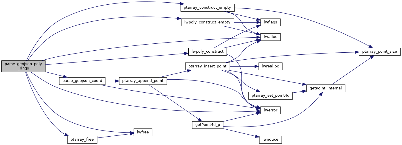
◆ parse_geojson_poly_rings()

static LWPOLY* parse_geojson_poly_rings ( json_object *  rings,
int *  hasz 
)
inlinestatic

Definition at line 174 of file lwin_geojson.c.

175 {
176  if (!rings || json_object_get_type(rings) != json_type_array)
177  return NULL;
178 
179  int nRings = json_object_array_length(rings);
180 
181  /* No rings => POLYGON EMPTY */
182  if (!nRings)
183  return lwpoly_construct_empty(0, 1, 0);
184 
185  /* Expecting up to nRings otherwise */
186  POINTARRAY **ppa = (POINTARRAY **)lwalloc(sizeof(POINTARRAY *) * nRings);
187  int o = 0;
188 
189  for (int i = 0; i < nRings; i++)
190  {
191  json_object *points = json_object_array_get_idx(rings, i);
192  if (!points || json_object_get_type(points) != json_type_array)
193  {
194  for (int k = 0; k < o; k++)
195  ptarray_free(ppa[k]);
196  lwfree(ppa);
197  lwerror("The 'coordinates' in GeoJSON ring are not an array");
198  return NULL;
199  }
200  int nPoints = json_object_array_length(points);
201 
202  /* Skip empty rings */
203  if (!nPoints)
204  {
205  /* Empty outer? Don't promote first hole to outer, holes don't matter. */
206  if (!i)
207  break;
208  else
209  continue;
210  }
211 
212  ppa[o] = ptarray_construct_empty(1, 0, 1);
213  for (int j = 0; j < nPoints; j++)
214  {
215  json_object *coords = NULL;
216  coords = json_object_array_get_idx(points, j);
217  if (LW_FAILURE == parse_geojson_coord(coords, hasz, ppa[o]))
218  {
219  for (int k = 0; k <= o; k++)
220  ptarray_free(ppa[k]);
221  lwfree(ppa);
222  lwerror("The 'coordinates' in GeoJSON are not sufficiently nested");
223  return NULL;
224  }
225  }
226  o++;
227  }
228 
229  /* All the rings were empty! */
230  if (!o)
231  {
232  lwfree(ppa);
233  return lwpoly_construct_empty(0, 1, 0);
234  }
235 
236  return lwpoly_construct(0, NULL, o, ppa);
237 }
#define LW_FAILURE
Definition: liblwgeom.h:110
void lwfree(void *mem)
Definition: lwutil.c:242
POINTARRAY * ptarray_construct_empty(char hasz, char hasm, uint32_t maxpoints)
Create a new POINTARRAY with no points.
Definition: ptarray.c:59
void ptarray_free(POINTARRAY *pa)
Definition: ptarray.c:319
void * lwalloc(size_t size)
Definition: lwutil.c:227
LWPOLY * lwpoly_construct_empty(int32_t srid, char hasz, char hasm)
Definition: lwpoly.c:161
LWPOLY * lwpoly_construct(int32_t srid, GBOX *bbox, uint32_t nrings, POINTARRAY **points)
Definition: lwpoly.c:43
void lwerror(const char *fmt,...)
Write a notice out to the error handler.
Definition: lwutil.c:190
static int parse_geojson_coord(json_object *poObj, int *hasz, POINTARRAY *pa)
Definition: lwin_geojson.c:106

References LW_FAILURE, lwalloc(), lwerror(), lwfree(), lwpoly_construct(), lwpoly_construct_empty(), parse_geojson_coord(), ptarray_construct_empty(), and ptarray_free().

Referenced by parse_geojson_multipolygon(), and parse_geojson_polygon().

Here is the call graph for this function:
Here is the caller graph for this function: