◆ parse_geojson_multipolygon()
|
inlinestatic |
Definition at line 310 of file lwin_geojson.c.
LWMPOLY * lwmpoly_add_lwpoly(LWMPOLY *mobj, const LWPOLY *obj)
Definition: lwmpoly.c:47
LWCOLLECTION * lwcollection_construct_empty(uint8_t type, int32_t srid, char hasz, char hasm)
Definition: lwcollection.c:92
static json_object * parse_coordinates(json_object *geojson)
Definition: lwin_geojson.c:87
static LWPOLY * parse_geojson_poly_rings(json_object *rings, int *hasz)
Definition: lwin_geojson.c:174
Definition: liblwgeom.h:443
Definition: liblwgeom.h:545
Definition: liblwgeom.h:503
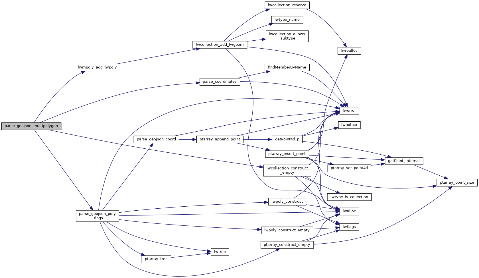
References lwcollection_construct_empty(), lwmpoly_add_lwpoly(), MULTIPOLYGONTYPE, parse_coordinates(), and parse_geojson_poly_rings().
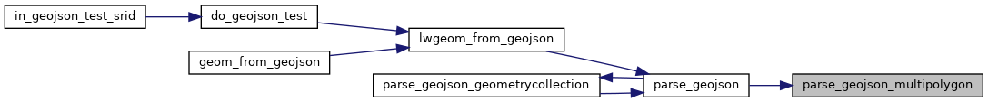
Referenced by parse_geojson().
Here is the call graph for this function:
Here is the caller graph for this function: