Loading...
Searching...
No Matches
◆ lwgeom_length_spheroid()
Calculate the geodetic length of a lwgeom on the unit sphere.
The result will have to by multiplied by the real radius to get the real length.
Definition at line 3297 of file lwgeodetic.c.
3298{
3300 uint32_t i = 0;
3301 double length = 0.0;
3302
3303 assert(geom);
3304
3305 /* No area in nothing */
3307 return 0.0;
3308
3310
3312 return 0.0;
3313
3316
3318 {
3321 {
3323 }
3324 return length;
3325 }
3326
3329
3331 {
3333
3335 {
3337 }
3338 return length;
3339 }
3340
3342 return 0.0;
3343}
int lwtype_is_collection(uint8_t type)
Determine whether a type number is a collection or not.
Definition lwgeom.c:1087
double ptarray_length_spheroid(const POINTARRAY *pa, const SPHEROID *s)
Definition lwgeodetic.c:3244
double lwgeom_length_spheroid(const LWGEOM *geom, const SPHEROID *s)
Calculate the geodetic length of a lwgeom on the unit sphere.
Definition lwgeodetic.c:3297
static int lwgeom_is_empty(const LWGEOM *geom)
Return true or false depending on whether a geometry is an "empty" geometry (no vertices members)
Definition lwinline.h:193
Definition liblwgeom.h:559
Definition liblwgeom.h:467
Definition liblwgeom.h:503
Definition liblwgeom.h:479
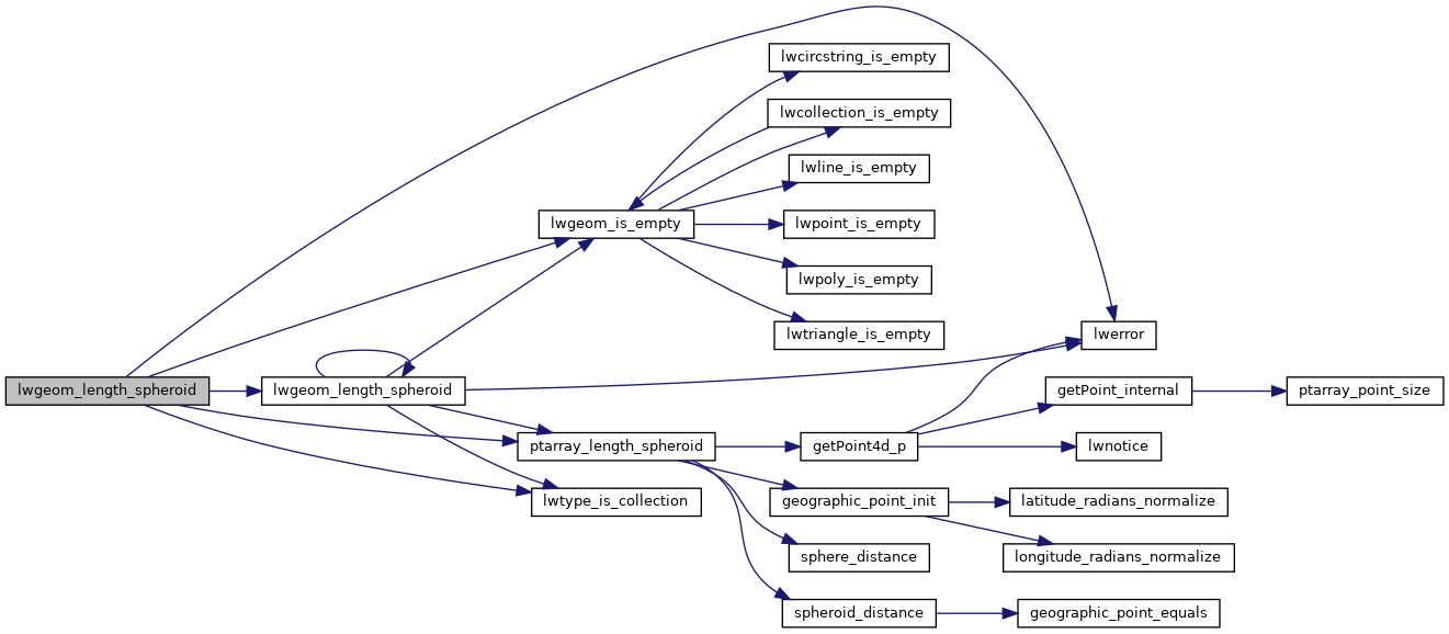
References LWCOLLECTION::geoms, LINETYPE, lwerror(), lwgeom_is_empty(), lwgeom_length_spheroid(), lwtype_is_collection(), MULTIPOINTTYPE, LWCOLLECTION::ngeoms, LWPOLY::nrings, POINTTYPE, POLYGONTYPE, ptarray_length_spheroid(), LWPOLY::rings, s, TRIANGLETYPE, and LWGEOM::type.
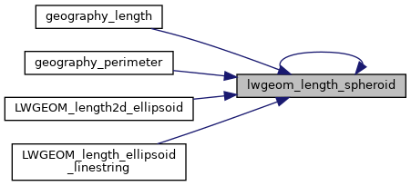
Referenced by geography_length(), geography_perimeter(), LWGEOM_length2d_ellipsoid(), LWGEOM_length_ellipsoid_linestring(), and lwgeom_length_spheroid().
Here is the call graph for this function:
Here is the caller graph for this function: