◆ gserialized_get_gbox_p()
| int gserialized_get_gbox_p | ( | const GSERIALIZED * | g, |
| GBOX * | box | ||
| ) |
Pull a GBOX from the header of a GSERIALIZED, if one is available.
If it is not, calculate it from the geometry. If that doesn't work (null or empty) return LW_FAILURE.
Pull a GBOX from the header of a GSERIALIZED, if one is available.
Return #LWFAILURE if box cannot be calculated (NULL or EMPTY input).
If it is not, calculate it from the geometry. If that doesn't work (null or empty) return LW_FAILURE.
Definition at line 65 of file gserialized.c.
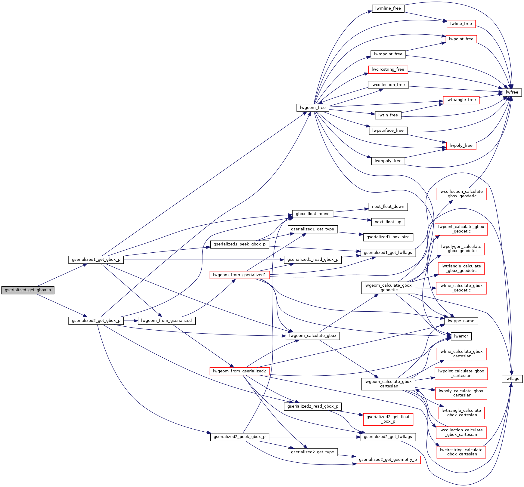
References GSERIALIZED::gflags, GFLAGS_GET_VERSION, gserialized1_get_gbox_p(), and gserialized2_get_gbox_p().
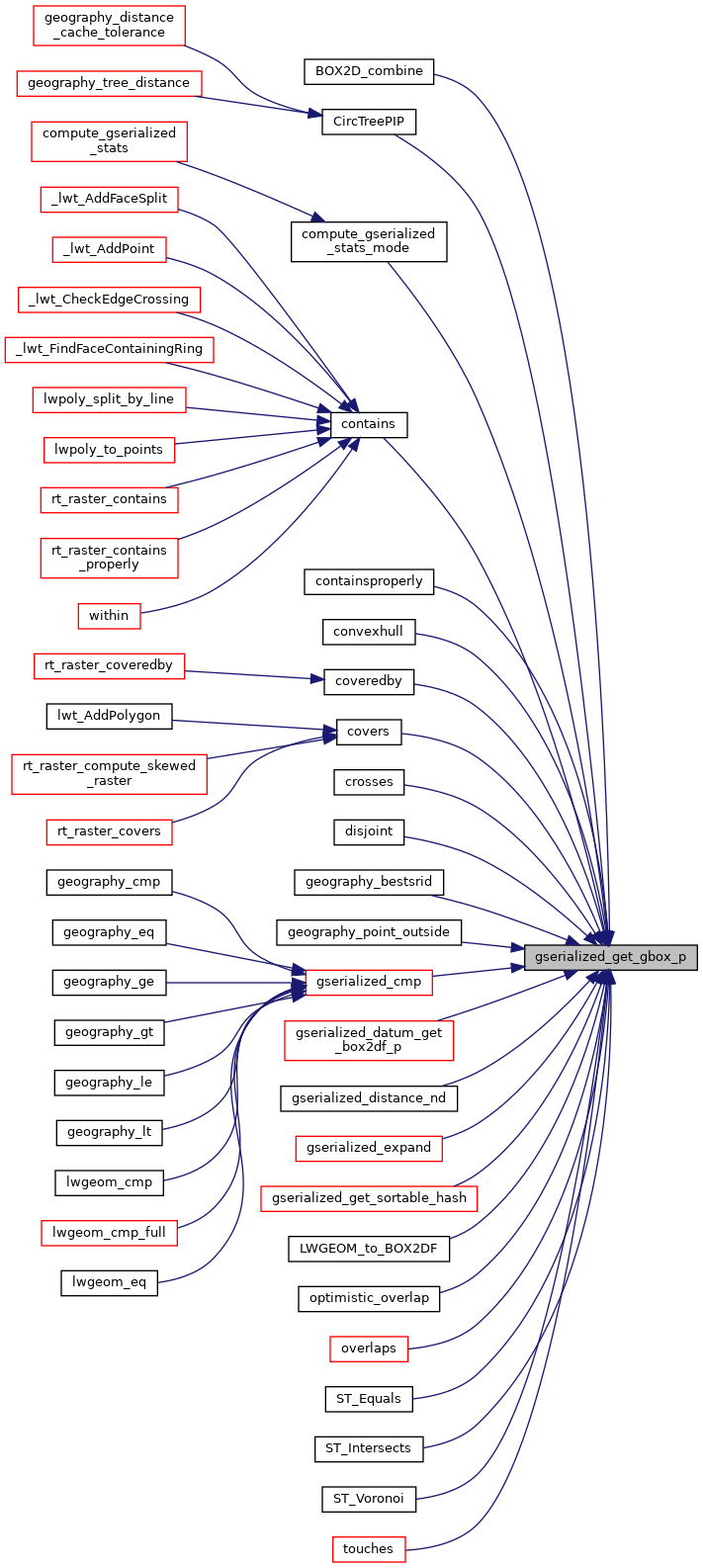
Referenced by BOX2D_combine(), CircTreePIP(), compute_gserialized_stats_mode(), contains(), containsproperly(), convexhull(), coveredby(), covers(), crosses(), disjoint(), geography_bestsrid(), geography_point_outside(), gserialized_cmp(), gserialized_datum_get_box2df_p(), gserialized_distance_nd(), gserialized_expand(), gserialized_get_sortable_hash(), LWGEOM_to_BOX2DF(), optimistic_overlap(), overlaps(), ST_Equals(), ST_Intersects(), ST_Voronoi(), and touches().

