◆ lwgeom_from_gserialized()
| LWGEOM* lwgeom_from_gserialized | ( | const GSERIALIZED * | g | ) |
Allocate a new LWGEOM from a GSERIALIZED.
The resulting LWGEOM will have coordinates that are double aligned and suitable for direct reading using getPoint2d_p_ro
Definition at line 239 of file gserialized.c.
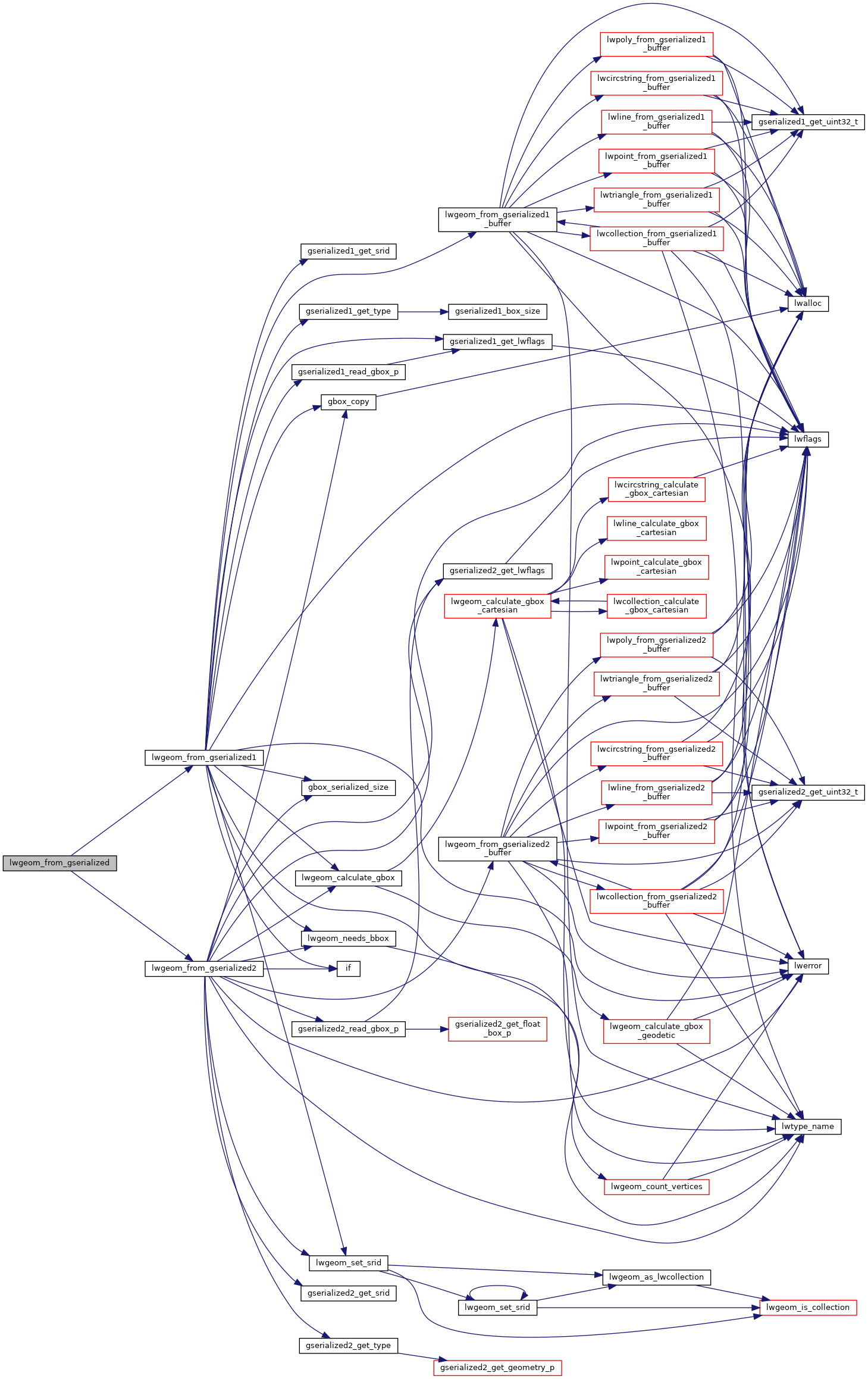
References GSERIALIZED::gflags, GFLAGS_GET_VERSION, lwgeom_from_gserialized1(), and lwgeom_from_gserialized2().
Referenced by ARRAY2LWGEOM(), boundary(), BOX2D_construct(), BOX3D_combine(), BOX3D_construct(), buffer(), centroid(), CircTreePIP(), contains(), coveredby(), covers(), geobuf_agg_transfn(), geography_area(), geography_as_geojson(), geography_as_gml(), geography_as_kml(), geography_as_svg(), geography_azimuth(), geography_bestsrid(), geography_centroid(), geography_coveredby(), geography_covers(), geography_distance_cache_tolerance(), geography_distance_knn(), geography_distance_uncached(), geography_dwithin(), geography_dwithin_uncached(), geography_from_geometry(), geography_length(), geography_out(), geography_perimeter(), geography_project(), geography_segmentize(), geography_send(), geography_tree_distance(), geometry_distance_spheroid(), geometry_from_geography(), geometry_to_json(), geometry_to_jsonb(), geometry_to_path(), geometry_to_point(), geometry_to_polygon(), gserialized1_get_gbox_p(), gserialized2_get_gbox_p(), gserialized_distance_nd(), issimple(), isvalid(), linemerge(), LWGEOM_addBBOX(), LWGEOM_addpoint(), LWGEOM_affine(), LWGEOM_angle(), LWGEOM_asBinary(), LWGEOM_asEncodedPolyline(), LWGEOM_asEWKT(), LWGEOM_asGeoJson(), LWGEOM_asGML(), LWGEOM_asHEXEWKB(), LWGEOM_asKML(), LWGEOM_asSVG(), LWGEOM_asText(), LWGEOM_asX3D(), LWGEOM_azimuth(), LWGEOM_ChaikinSmoothing(), LWGEOM_closestpoint(), LWGEOM_closestpoint3d(), LWGEOM_collect(), LWGEOM_collect_garray(), LWGEOM_curve_segmentize(), LWGEOM_dfullywithin(), LWGEOM_dfullywithin3d(), LWGEOM_dimension(), LWGEOM_dump(), LWGEOM_dump_rings(), LWGEOM_dumppoints(), LWGEOM_dwithin(), LWGEOM_dwithin3d(), LWGEOM_endpoint_linestring(), LWGEOM_envelope(), LWGEOM_expand(), LWGEOM_exteriorring_polygon(), LWGEOM_FilterByM(), LWGEOM_force_2d(), LWGEOM_force_3dm(), LWGEOM_force_3dz(), LWGEOM_force_4d(), LWGEOM_force_clockwise_poly(), LWGEOM_force_collection(), LWGEOM_force_curve(), LWGEOM_force_multi(), LWGEOM_force_sfs(), LWGEOM_geometryn_collection(), LWGEOM_has_arc(), LWGEOM_inside_circle_point(), LWGEOM_interiorringn_polygon(), LWGEOM_isclosed(), LWGEOM_length2d_ellipsoid(), LWGEOM_length2d_linestring(), LWGEOM_length_ellipsoid_linestring(), LWGEOM_length_linestring(), LWGEOM_line_desegmentize(), LWGEOM_line_from_mpoint(), LWGEOM_line_interpolate_point(), LWGEOM_line_locate_point(), LWGEOM_line_substring(), LWGEOM_locate_between_m(), LWGEOM_longestline2d(), LWGEOM_longestline3d(), LWGEOM_longitude_shift(), LWGEOM_makeline(), LWGEOM_makeline_garray(), LWGEOM_makepoly(), LWGEOM_maxdistance2d_linestring(), LWGEOM_maxdistance3d(), LWGEOM_noop(), LWGEOM_npoints(), LWGEOM_nrings(), LWGEOM_numgeometries_collection(), LWGEOM_numinteriorrings_polygon(), LWGEOM_numpoints_linestring(), LWGEOM_out(), lwgeom_over_gserialized(), LWGEOM_perimeter2d_poly(), LWGEOM_perimeter_poly(), LWGEOM_pointn_linestring(), LWGEOM_removepoint(), LWGEOM_reverse(), LWGEOM_segmentize2d(), LWGEOM_SetEffectiveArea(), LWGEOM_setpoint_linestring(), LWGEOM_shortestline2d(), LWGEOM_shortestline3d(), LWGEOM_simplify2d(), LWGEOM_snaptogrid(), LWGEOM_snaptogrid_pointoff(), LWGEOM_startpoint_linestring(), LWGEOM_summary(), LWGEOM_to_BOX(), LWGEOM_to_BOX2D(), LWGEOM_to_BOX3D(), LWGEOM_to_latlon(), LWGEOM_to_text(), mvt_agg_transfn(), optimistic_overlap(), pgis_geometry_accum_transfn(), pip_short_circuit(), pointonsurface(), POSTGIS2GEOS(), POSTGIS2SFCGALGeometry(), POSTGIS2SFCGALPreparedGeometry(), postgis_sfcgal_noop(), RASTER_asRaster(), RASTER_clip(), RASTER_nearestValue(), RASTER_setPixelValuesGeomval(), read_lwgeom_from_partition(), sfcgal_is_solid(), sfcgal_make_solid(), ST_3DDistance(), ST_3DIntersects(), ST_3DLineInterpolatePoint(), ST_AddMeasure(), ST_Area(), ST_AsMVTGeom(), ST_BoundingDiagonal(), ST_BuildArea(), ST_CleanGeometry(), ST_ClipByBox2d(), ST_ClosestPointOfApproach(), ST_ClusterKMeans(), ST_CollectionExtract(), ST_CollectionHomogenize(), ST_CPAWithin(), ST_CurveToLine(), ST_DelaunayTriangles(), ST_Difference(), ST_Distance(), ST_DistanceCPA(), ST_DistanceRectTree(), ST_DistanceRectTreeCached(), ST_FlipCoordinates(), ST_GeneratePoints(), ST_GeoHash(), ST_GeometricMedian(), ST_InterpolatePoint(), ST_Intersection(), ST_Intersects(), ST_IsPolygonCCW(), ST_IsPolygonCW(), ST_IsValidTrajectory(), ST_LineCrossingDirection(), ST_LocateAlong(), ST_LocateBetween(), ST_LocateBetweenElevations(), ST_MakeValid(), ST_MinimumBoundingCircle(), ST_MinimumBoundingRadius(), ST_Node(), ST_Normalize(), ST_OffsetCurve(), ST_Points(), ST_QuantizeCoordinates(), ST_RemoveRepeatedPoints(), ST_Scale(), ST_SharedPaths(), ST_Snap(), ST_Split(), ST_Subdivide(), ST_SwapOrdinates(), ST_TileEnvelope(), ST_UnaryUnion(), ST_Union(), ST_Voronoi(), ST_WrapX(), symdifference(), test_lwgeom_from_gserialized(), test_on_gser_lwgeom_count_vertices(), topologypreservesimplify(), transform(), transform_geom(), TWKBFromLWGEOM(), TWKBFromLWGEOMArray(), and WKBFromLWGEOM().