Loading...
Searching...
No Matches
◆ lwgeom_cpa_within()
Is the closest point of approach within a distance ?
- Returns
- LW_TRUE or LW_FALSE
Definition at line 1311 of file lwlinearreferencing.c.
1312{
1313 LWLINE *l1, *l2;
1314 int i;
1315 GBOX gbox1, gbox2;
1316 double tmin, tmax;
1317 double *mvals;
1318 int nmvals = 0;
1319 double maxdist2 = maxdist * maxdist;
1321
1323 {
1326 }
1327
1328 l1 = lwgeom_as_lwline(g1);
1329 l2 = lwgeom_as_lwline(g2);
1330
1331 if (!l1 || !l2)
1332 {
1335 }
1336
1338 {
1339 /* TODO: return distance between these two points */
1342 }
1343
1344 /* We use lwgeom_calculate_gbox() instead of lwgeom_get_gbox() */
1345 /* because we cannot afford the float rounding inaccuracy when */
1346 /* we compare the ranges for overlap below */
1347 lwgeom_calculate_gbox(g1, &gbox1);
1348 lwgeom_calculate_gbox(g2, &gbox2);
1349
1350 /*
1351 * Find overlapping M range
1352 * WARNING: may be larger than the real one
1353 */
1354
1357
1358 if (tmax < tmin)
1359 {
1362 }
1363
1364 /*
1365 * Collect M values in common time range from inputs
1366 */
1367
1369
1370 /* TODO: also clip the lines ? */
1373
1374 /* Sort values in ascending order */
1376
1377 /* Remove duplicated values */
1378 nmvals = uniq(mvals, nmvals);
1379
1380 if (nmvals < 2)
1381 {
1382 /* there's a single time, must be that one... */
1383 double t0 = mvals[0];
1384 POINT4D p0, p1;
1387 {
1390 }
1392 {
1395 }
1398 lwfree(mvals);
1400 }
1401
1402 /*
1403 * For each consecutive pair of measures, compute time of closest point
1404 * approach and actual distance between points at that time
1405 */
1406 for (i = 1; i < nmvals; ++i)
1407 {
1408 double t0 = mvals[i - 1];
1409 double t1 = mvals[i];
1410#if POSTGIS_DEBUG_LEVEL >= 1
1411 double t;
1412#endif
1413 POINT4D p0, p1, q0, q1;
1414 int seg;
1415 double dist2;
1416
1417 // lwnotice("T %g-%g", t0, t1);
1418
1420 if (-1 == seg)
1421 continue; /* possible, if GBOX is approximated */
1422 // lwnotice("Measure %g on segment %d of line 1: %g, %g, %g", t0, seg, p0.x, p0.y, p0.z);
1423
1425 if (-1 == seg)
1426 continue; /* possible, if GBOX is approximated */
1427 // lwnotice("Measure %g on segment %d of line 1: %g, %g, %g", t1, seg, p1.x, p1.y, p1.z);
1428
1430 if (-1 == seg)
1431 continue; /* possible, if GBOX is approximated */
1432 // lwnotice("Measure %g on segment %d of line 2: %g, %g, %g", t0, seg, q0.x, q0.y, q0.z);
1433
1435 if (-1 == seg)
1436 continue; /* possible, if GBOX is approximated */
1437 // lwnotice("Measure %g on segment %d of line 2: %g, %g, %g", t1, seg, q1.x, q1.y, q1.z);
1438
1439#if POSTGIS_DEBUG_LEVEL >= 1
1440 t =
1441#endif
1442 segments_tcpa(&p0, &p1, &q0, &q1, t0, t1);
1443
1444 /*
1445 lwnotice("Closest points: %g,%g,%g and %g,%g,%g at time %g",
1446 p0.x, p0.y, p0.z,
1447 q0.x, q0.y, q0.z, t);
1448 */
1449
1450 dist2 = (q0.x - p0.x) * (q0.x - p0.x) + (q0.y - p0.y) * (q0.y - p0.y) + (q0.z - p0.z) * (q0.z - p0.z);
1451 if (dist2 <= maxdist2)
1452 {
1455 break;
1456 }
1457 }
1458
1459 /*
1460 * Release memory
1461 */
1462
1463 lwfree(mvals);
1464
1466}
double distance3d_pt_pt(const POINT3D *p1, const POINT3D *p2)
Definition measures3d.c:1032
int lwgeom_calculate_gbox(const LWGEOM *lwgeom, GBOX *gbox)
Calculate bounding box of a geometry, automatically taking into account whether it is cartesian or ge...
Definition lwgeom.c:737
int lwgeom_has_m(const LWGEOM *geom)
Return LW_TRUE if geometry has M ordinates.
Definition lwgeom.c:923
static int ptarray_collect_mvals(const POINTARRAY *pa, double tmin, double tmax, double *mvals)
Definition lwlinearreferencing.c:1065
static int compare_double(const void *pa, const void *pb)
Definition lwlinearreferencing.c:1079
static double segments_tcpa(POINT4D *p0, const POINT4D *p1, POINT4D *q0, const POINT4D *q1, double t0, double t1)
Definition lwlinearreferencing.c:981
static int ptarray_locate_along_linear(const POINTARRAY *pa, double m, POINT4D *p, uint32_t from)
Definition lwlinearreferencing.c:1123
Definition liblwgeom.h:338
Definition liblwgeom.h:467
Definition liblwgeom.h:387
Definition liblwgeom.h:399
References compare_double(), distance3d_pt_pt(), FP_MAX, FP_MIN, LW_FALSE, LW_TRUE, lwalloc(), LWDEBUG, LWDEBUGF, lwerror(), lwfree(), lwgeom_as_lwline(), lwgeom_calculate_gbox(), lwgeom_has_m(), lwnotice(), GBOX::mmax, GBOX::mmin, POINTARRAY::npoints, LWLINE::points, ptarray_collect_mvals(), ptarray_locate_along_linear(), segments_tcpa(), uniq(), within(), POINT4D::x, POINT4D::y, and POINT4D::z.
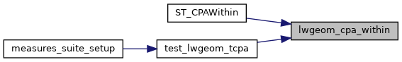
Referenced by ST_CPAWithin(), and test_lwgeom_tcpa().
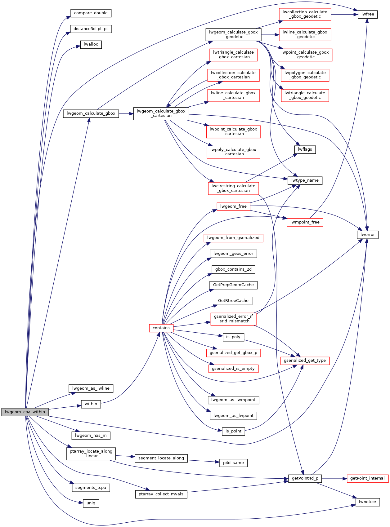
Here is the call graph for this function:
Here is the caller graph for this function: