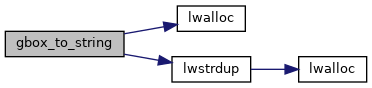
◆ gbox_to_string()
| char* gbox_to_string | ( | const GBOX * | gbox | ) |
Allocate a string representation of the GBOX, based on dimensionality of flags.
Definition at line 392 of file gbox.c.
404 snprintf(str, sz, "GBOX((%.8g,%.8g,%.8g),(%.8g,%.8g,%.8g))", gbox->xmin, gbox->ymin, gbox->zmin, gbox->xmax, gbox->ymax, gbox->zmax);
409 snprintf(str, sz, "GBOX((%.8g,%.8g,%.8g,%.8g),(%.8g,%.8g,%.8g,%.8g))", gbox->xmin, gbox->ymin, gbox->zmin, gbox->mmin, gbox->xmax, gbox->ymax, gbox->zmax, gbox->mmax);
414 snprintf(str, sz, "GBOX((%.8g,%.8g,%.8g),(%.8g,%.8g,%.8g))", gbox->xmin, gbox->ymin, gbox->zmin, gbox->xmax, gbox->ymax, gbox->zmax);
419 snprintf(str, sz, "GBOX((%.8g,%.8g,%.8g),(%.8g,%.8g,%.8g))", gbox->xmin, gbox->ymin, gbox->mmin, gbox->xmax, gbox->ymax, gbox->mmax);
References GBOX::flags, FLAGS_GET_GEODETIC, FLAGS_GET_M, FLAGS_GET_Z, lwalloc(), lwstrdup(), GBOX::mmax, GBOX::mmin, str, GBOX::xmax, GBOX::xmin, GBOX::ymax, GBOX::ymin, GBOX::zmax, and GBOX::zmin.
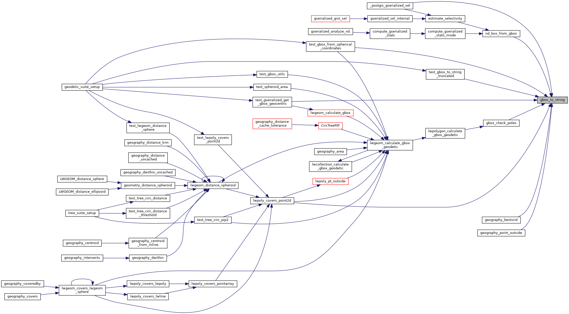
Referenced by _postgis_gserialized_sel(), gbox_check_poles(), geography_bestsrid(), geography_point_outside(), lwpoly_covers_point2d(), nd_box_from_gbox(), test_gbox_from_spherical_coordinates(), test_gbox_to_string_truncated(), and test_gserialized_get_gbox_geocentric().
Here is the call graph for this function:
Here is the caller graph for this function: