◆ gbox_merge()
Update the merged GBOX to be large enough to include itself and the new box.
Definition at line 257 of file gbox.c.
References GBOX::flags, FLAGS_GET_GEODETIC, FLAGS_GET_M, FLAGS_GET_Z, FLAGS_GET_ZM, LW_FAILURE, LW_SUCCESS, GBOX::mmax, GBOX::mmin, GBOX::xmax, GBOX::xmin, GBOX::ymax, GBOX::ymin, GBOX::zmax, and GBOX::zmin.
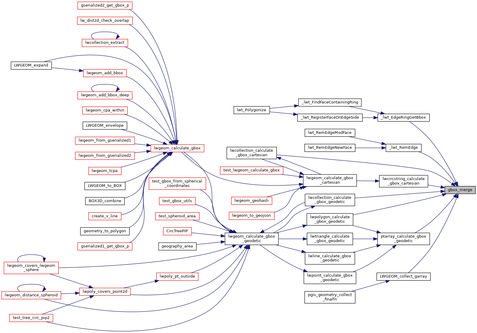
Referenced by _lwt_EdgeRingGetBbox(), _lwt_RemEdge(), lwcircstring_calculate_gbox_cartesian(), lwcollection_calculate_gbox_cartesian(), lwcollection_calculate_gbox_geodetic(), LWGEOM_collect_garray(), lwpolygon_calculate_gbox_geodetic(), and ptarray_calculate_gbox_geodetic().
Here is the caller graph for this function:
