Loading...
Searching...
No Matches
◆ test_gbox_to_string_truncated()
|
static |
Definition at line 1595 of file cu_geodetic.c.
1596{
1597 GBOX g = {
1598 .flags = 0,
1599 .xmin = -DBL_MAX,
1600 .xmax = -DBL_MAX,
1601 .ymin = -DBL_MAX,
1602 .ymax = -DBL_MAX,
1603 .zmin = -DBL_MAX,
1604 .zmax = -DBL_MAX,
1605 .mmin = -DBL_MAX,
1606 .mmax = -DBL_MAX,
1607 };
1611
1612 ASSERT_STRING_EQUAL(c, "GBOX((-1.7976931e+308,-1.7976931e+308,-1.7976931e+308,-1.7976931e+308),(-1.7976931e+308,-1.7976931e+308,-1.7976931e+308,-1.7976931e+308))");
1613
1614 lwfree(c);
1615}
char * gbox_to_string(const GBOX *gbox)
Allocate a string representation of the GBOX, based on dimensionality of flags.
Definition gbox.c:392
Definition liblwgeom.h:338
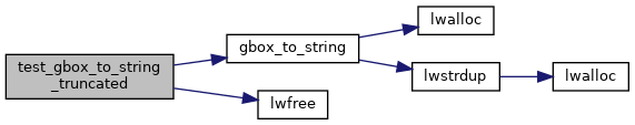
References ASSERT_STRING_EQUAL, GBOX::flags, FLAGS_SET_M, FLAGS_SET_Z, gbox_to_string(), and lwfree().
Referenced by geodetic_suite_setup().
Here is the call graph for this function:
Here is the caller graph for this function: