Loading...
Searching...
No Matches
◆ do_test_mindistance_tolerance()
|
static |
Definition at line 41 of file cu_measures.c.
47{
48 LWGEOM *lw1;
49 LWGEOM *lw2;
51 char *msg1 = "test_mindistance2d_tolerance failed (got %g expected %g) at line %d\n";
52 char *msg2 = "\n\ndo_test_mindistance2d_tolerance: NULL lwgeom generated from WKT\n %s\n\n";
53
56
57 if ( ! lw1 )
58 {
59 printf(msg2, in1);
60 exit(1);
61 }
62 if ( ! lw2 )
63 {
64 printf(msg2, in2);
65 exit(1);
66 }
67
70
71 distance = distancef(lw1, lw2, 0.0);
72 lwgeom_free(lw1);
73 lwgeom_free(lw2);
74
76 {
77 printf(msg1, distance, expected_res, line);
78 CU_FAIL();
79 }
80 else
81 {
82 CU_PASS();
83 }
84
85}
Definition liblwgeom.h:443
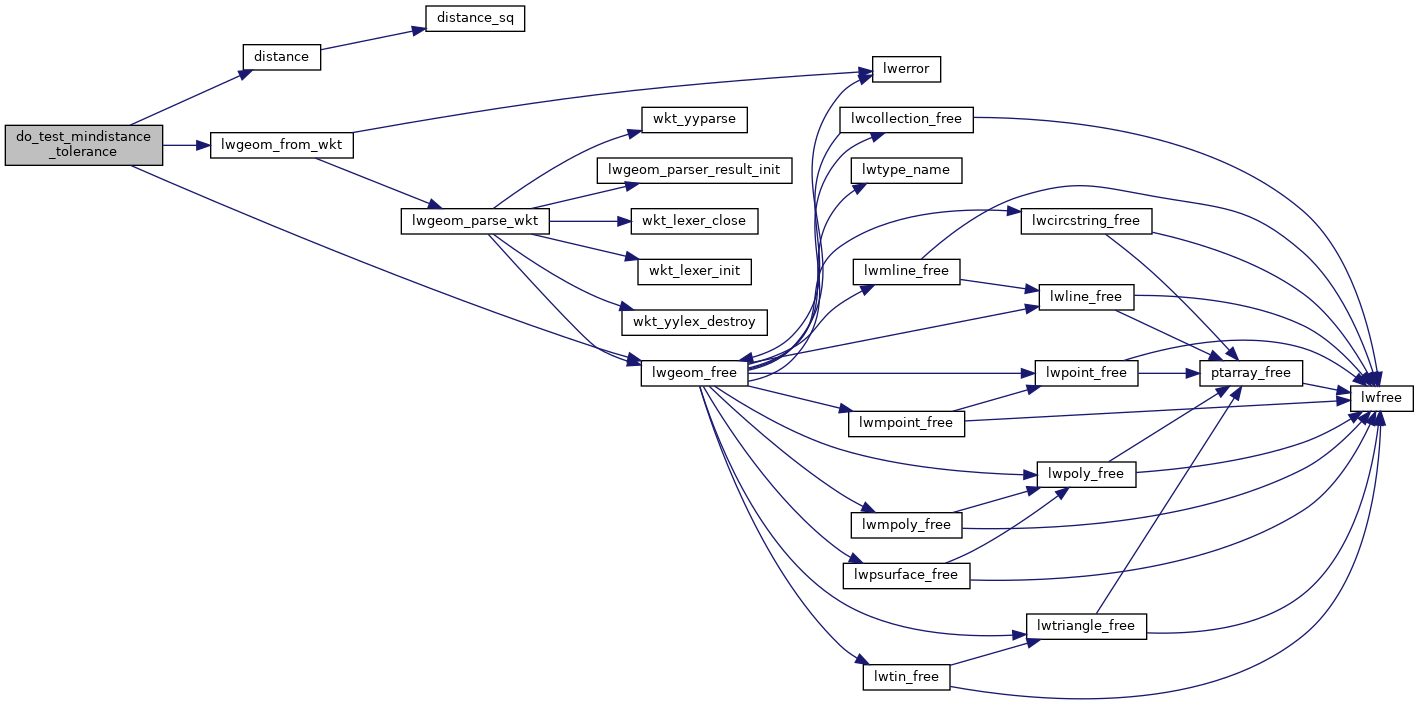
References distance(), LWGEOM::flags, FLAGS_SET_SOLID, LW_PARSER_CHECK_NONE, lwgeom_free(), and lwgeom_from_wkt().
Here is the call graph for this function: