Loading...
Searching...
No Matches
◆ ptarray_segmentize_sphere()
|
static |
Create a new point array with no segment longer than the input segment length (expressed in radians!)
- Parameters
-
pa_in - input point array pointer max_seg_length - maximum output segment length in radians
Definition at line 1684 of file lwgeodetic.c.
1685{
1686 POINTARRAY *pa_out;
1689 POINT4D p1, p2;
1690 POINT3D q1, q2;
1691 GEOGRAPHIC_POINT g1, g2;
1692 uint32_t i;
1693
1694 /* Just crap out on crazy input */
1695 if ( ! pa_in )
1697 if ( max_seg_length <= 0.0 )
1699
1700 /* Empty starting array */
1702
1703 /* Simple loop per edge */
1705 {
1706 getPoint4d_p(pa_in, i-1, &p1);
1707 getPoint4d_p(pa_in, i, &p2);
1710
1711 /* Skip duplicate points (except in case of 2-point lines!) */
1713 continue;
1714
1715 /* How long is this edge? */
1717
1718 if (d > max_seg_length)
1719 {
1720 geog2cart(&g1, &q1);
1721 geog2cart(&g2, &q2);
1722 /* 3-d end points, XYZM end point, current edge size, min edge size */
1723 ptarray_segmentize_sphere_edge_recursive(&q1, &q2, &p1, &p2, d, max_seg_length, pa_out);
1724 }
1725 /* If we don't segmentize, we need to add first point manually */
1726 else
1727 {
1729 }
1730 }
1731 /* Always add the last point */
1733 return pa_out;
1734}
POINTARRAY * ptarray_construct_empty(char hasz, char hasm, uint32_t maxpoints)
Create a new POINTARRAY with no points.
Definition ptarray.c:59
int getPoint4d_p(const POINTARRAY *pa, uint32_t n, POINT4D *point)
Definition lwgeom_api.c:125
int ptarray_append_point(POINTARRAY *pa, const POINT4D *pt, int allow_duplicates)
Append a point to the end of an existing POINTARRAY If allow_duplicate is LW_FALSE,...
Definition ptarray.c:147
void geographic_point_init(double lon, double lat, GEOGRAPHIC_POINT *g)
Initialize a geographic point.
Definition lwgeodetic.c:180
static int ptarray_segmentize_sphere_edge_recursive(const POINT3D *p1, const POINT3D *p2, const POINT4D *v1, const POINT4D *v2, double d, double max_seg_length, POINTARRAY *pa)
Definition lwgeodetic.c:1633
double sphere_distance(const GEOGRAPHIC_POINT *s, const GEOGRAPHIC_POINT *e)
Given two points on a unit sphere, calculate their distance apart in radians.
Definition lwgeodetic.c:948
void geog2cart(const GEOGRAPHIC_POINT *g, POINT3D *p)
Convert spherical coordinates to cartesian coordinates on unit sphere.
Definition lwgeodetic.c:404
Definition liblwgeom.h:387
Definition liblwgeom.h:399
Definition liblwgeom.h:412
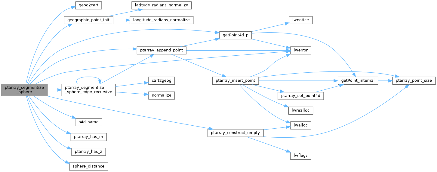
References geog2cart(), geographic_point_init(), getPoint4d_p(), LW_TRUE, lwerror(), POINTARRAY::npoints, p4d_same(), ptarray_append_point(), ptarray_construct_empty(), ptarray_has_m(), ptarray_has_z(), ptarray_segmentize_sphere_edge_recursive(), sphere_distance(), POINT4D::x, and POINT4D::y.
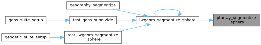
Referenced by lwgeom_segmentize_sphere().
Here is the call graph for this function:
Here is the caller graph for this function: