Loading...
Searching...
No Matches
◆ lwprint_double()
| int lwprint_double | ( | double | d, |
| int | maxdd, | ||
| char * | buf, | ||
| size_t | bufsize | ||
| ) |
Definition at line 492 of file lwprint.c.
493{
494 double ad = fabs(d);
495 int ndd;
496 int length = 0;
498 {
499 d = 0;
500 ad = 0;
501 }
503 {
504 ndd = ad < 1 ? 0 : floor(log10(ad)) + 1; /* non-decimal digits */
506 length = snprintf(buf, bufsize, "%.*f", maxdd, d);
507 }
508 else
509 {
510 length = snprintf(buf, bufsize, "%g", d);
511 }
512 trim_trailing_zeros(buf);
513 return length;
514}
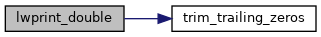
References FP_TOLERANCE, OUT_MAX_DOUBLE, OUT_MAX_DOUBLE_PRECISION, and trim_trailing_zeros().
Referenced by assvg_point_buf(), pointArray_svg_abs(), pointArray_svg_rel(), pointArray_to_geojson(), pointArray_toGML2(), pointArray_toGML3(), ptarray_to_wkt_sb(), and ptarray_to_x3d3_sb().
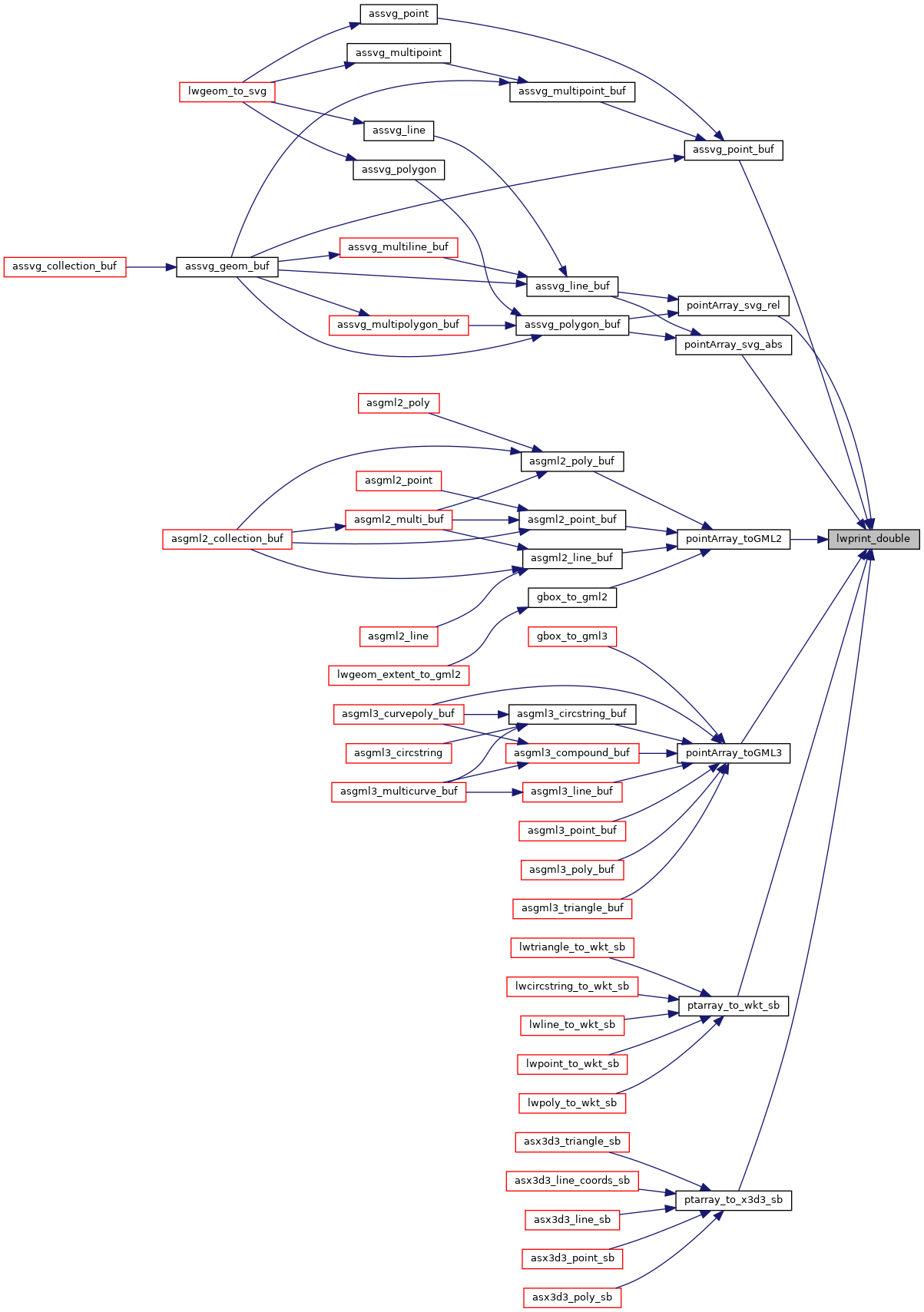
Here is the call graph for this function:
Here is the caller graph for this function: