Loading...
Searching...
No Matches
◆ ptarray_length()
| double ptarray_length | ( | const POINTARRAY * | pts | ) |
Find the 3d/2d length of the given POINTARRAY (depending on its dimensionality)
Definition at line 1736 of file ptarray.c.
1737{
1738 double dist = 0.0;
1739 uint32_t i;
1740 POINT3DZ frm;
1741 POINT3DZ to;
1742
1744
1745 /* compute 2d length if 3d is not available */
1747
1748 getPoint3dz_p(pts, 0, &frm);
1750 {
1751 getPoint3dz_p(pts, i, &to);
1755 frm = to;
1756 }
1757 return dist;
1758}
int getPoint3dz_p(const POINTARRAY *pa, uint32_t n, POINT3DZ *point)
Definition lwgeom_api.c:215
double ptarray_length_2d(const POINTARRAY *pts)
Find the 2d length of the given POINTARRAY (even if it's 3d)
Definition ptarray.c:1708
Definition liblwgeom.h:381
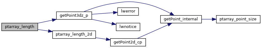
References POINTARRAY::flags, FLAGS_GET_Z, getPoint3dz_p(), POINTARRAY::npoints, ptarray_length_2d(), POINT3DZ::x, POINT3DZ::y, and POINT3DZ::z.
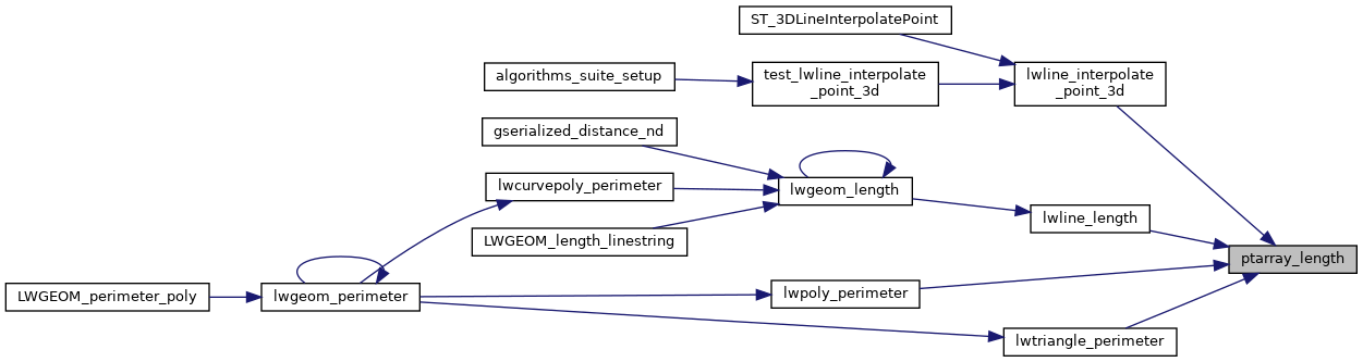
Referenced by lwline_interpolate_point_3d(), lwline_length(), lwpoly_perimeter(), and lwtriangle_perimeter().
Here is the call graph for this function:
Here is the caller graph for this function: