◆ gserialized_geography_from_lwgeom()
| GSERIALIZED * gserialized_geography_from_lwgeom | ( | LWGEOM * | lwgeom, |
| int32 | geog_typmod | ||
| ) |
Definition at line 88 of file geography_inout.c.
GSERIALIZED * postgis_valid_typmod(GSERIALIZED *gser, int32_t typmod)
Check the consistency of the metadata we want to enforce in the typmod: srid, type and dimensionality...
Definition: gserialized_typmod.c:110
void geography_valid_type(uint8_t type)
The geography type only support POINT, LINESTRING, POLYGON, MULTI* variants of same,...
Definition: geography_inout.c:69
void lwgeom_set_geodetic(LWGEOM *geom, int value)
Set the FLAGS geodetic bit on geometry an all sub-geometries and pointlists.
Definition: lwgeom.c:946
int lwgeom_force_geodetic(LWGEOM *geom)
Force coordinates of LWGEOM into geodetic range (-180, -90, 180, 90)
Definition: lwgeodetic.c:3222
int lwgeom_nudge_geodetic(LWGEOM *geom)
Gently move coordinates of LWGEOM if they are close enough into geodetic range.
Definition: lwgeodetic.c:3404
Definition: liblwgeom.h:429
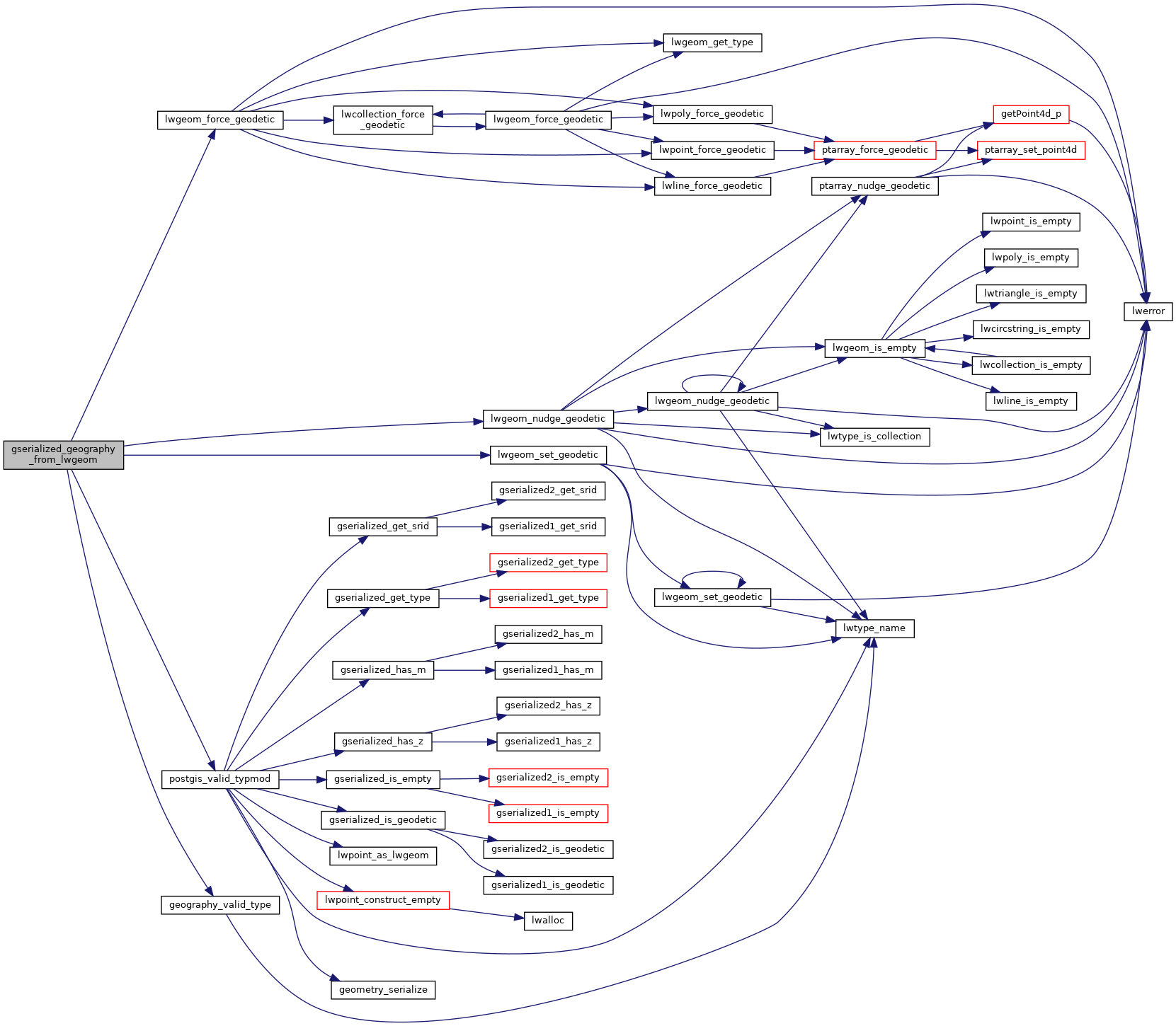
References geography_valid_type(), LW_TRUE, lwgeom_force_geodetic(), lwgeom_nudge_geodetic(), lwgeom_set_geodetic(), postgis_valid_typmod(), LWGEOM::srid, SRID_DEFAULT, and LWGEOM::type.
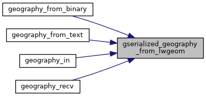
Referenced by geography_from_binary(), geography_from_text(), geography_in(), and geography_recv().
Here is the call graph for this function:

Here is the caller graph for this function:
