Loading...
Searching...
No Matches
◆ geography_from_geometry()
| Datum geography_from_geometry | ( | PG_FUNCTION_ARGS | ) |
Definition at line 541 of file geography_inout.c.
542{
543 GSERIALIZED *g_ser = NULL;
544 GSERIALIZED *geom = PG_GETARG_GSERIALIZED_P_COPY(0);
546
548
549 /* Force default SRID */
551 {
553 }
554
555 /* Error on any SRID != default */
556 srid_check_latlong(fcinfo, lwgeom->srid);
557
558 /* Force the geometry to have valid geodetic coordinate range. */
559 lwgeom_nudge_geodetic(lwgeom);
561 {
562 ereport(NOTICE, (
563 errmsg_internal("Coordinate values were coerced into range [-180 -90, 180 90] for GEOGRAPHY" ))
564 );
565 }
566
567 /* force recalculate of box by dropping */
568 lwgeom_drop_bbox(lwgeom);
569
571 /* We are trusting geography_serialize will add a box if needed */
572 g_ser = geography_serialize(lwgeom);
573
574
575 lwgeom_free(lwgeom);
576
577 PG_FREE_IF_COPY(geom, 0);
578 PG_RETURN_POINTER(g_ser);
579}
void geography_valid_type(uint8_t type)
The geography type only support POINT, LINESTRING, POLYGON, MULTI* variants of same,...
Definition geography_inout.c:69
LWGEOM * lwgeom_from_gserialized(const GSERIALIZED *g)
Allocate a new LWGEOM from a GSERIALIZED.
Definition gserialized.c:239
void lwgeom_set_geodetic(LWGEOM *geom, int value)
Set the FLAGS geodetic bit on geometry an all sub-geometries and pointlists.
Definition lwgeom.c:946
void lwgeom_drop_bbox(LWGEOM *lwgeom)
Call this function to drop BBOX and SRID from LWGEOM.
Definition lwgeom.c:664
int lwgeom_force_geodetic(LWGEOM *geom)
Force coordinates of LWGEOM into geodetic range (-180, -90, 180, 90)
Definition lwgeodetic.c:3222
int lwgeom_nudge_geodetic(LWGEOM *geom)
Gently move coordinates of LWGEOM if they are close enough into geodetic range.
Definition lwgeodetic.c:3404
Definition liblwgeom.h:429
Definition liblwgeom.h:443
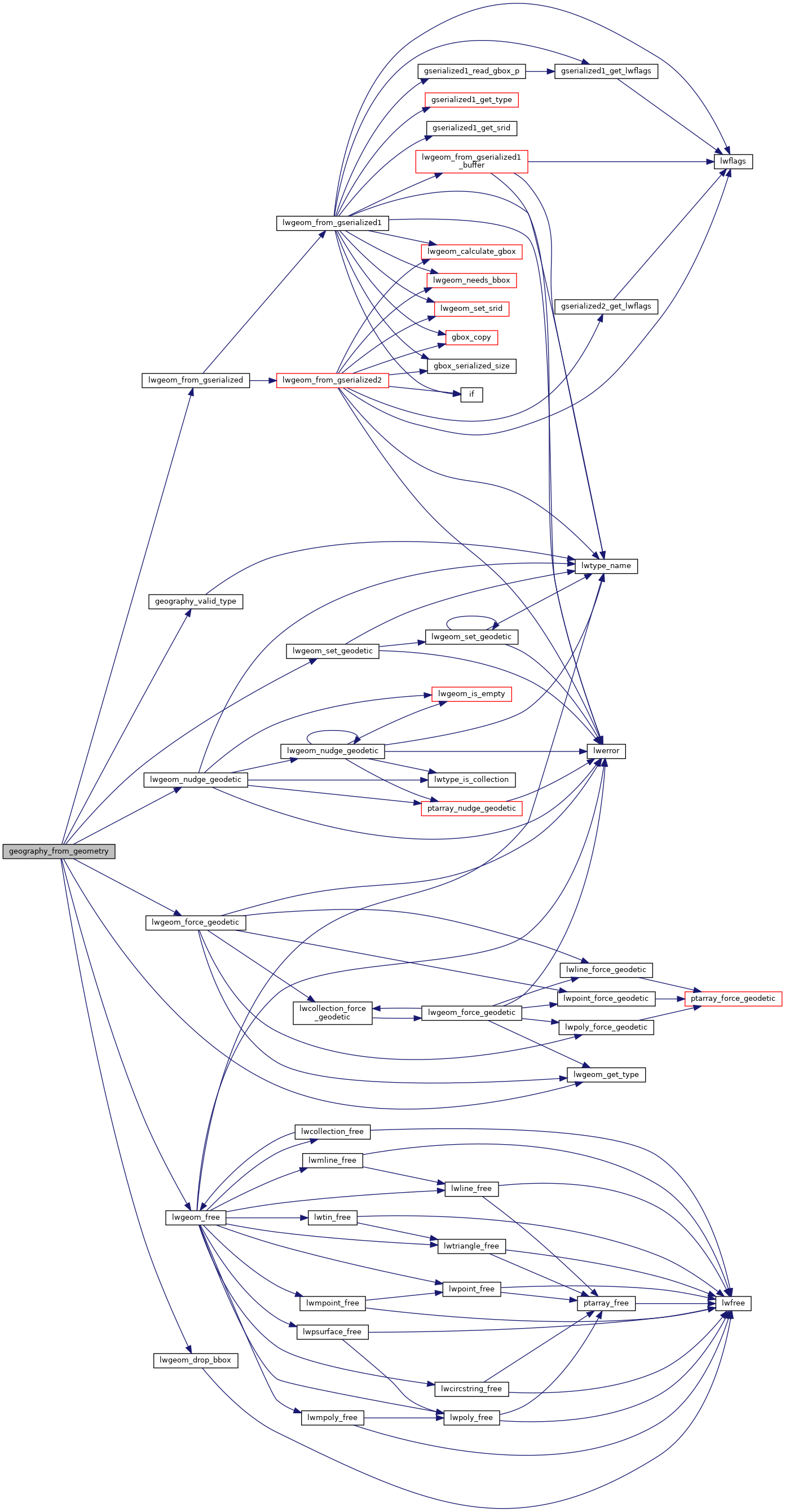
References geography_valid_type(), LW_TRUE, lwgeom_drop_bbox(), lwgeom_force_geodetic(), lwgeom_free(), lwgeom_from_gserialized(), lwgeom_get_type(), lwgeom_nudge_geodetic(), lwgeom_set_geodetic(), LWGEOM::srid, and SRID_DEFAULT.
Here is the call graph for this function:
