Loading...
Searching...
No Matches
◆ spheroid_distance()
| double spheroid_distance | ( | const GEOGRAPHIC_POINT * | a, |
| const GEOGRAPHIC_POINT * | b, | ||
| const SPHEROID * | spheroid | ||
| ) |
Computes the shortest distance along the surface of the spheroid between two points, using the inverse geodesic problem from GeographicLib (Karney 2013).
- Parameters
-
a - location of first point b - location of second point s - spheroid to calculate on
- Returns
- spheroidal distance between a and b in spheroid units
Definition at line 79 of file lwspheroid.c.
80{
81 struct geod_geodesic gd;
82
83 /* Same point => zero distance */
85 return 0.0;
86
92 double s12 = 0.0; /* return distance */
93 geod_inverse(&gd, lat1, lon1, lat2, lon2, &s12, 0, 0);
94 return s12;
95}
int geographic_point_equals(const GEOGRAPHIC_POINT *g1, const GEOGRAPHIC_POINT *g2)
Definition lwgeodetic.c:170
References SPHEROID::a, SPHEROID::f, geographic_point_equals(), GEOGRAPHIC_POINT::lat, and GEOGRAPHIC_POINT::lon.
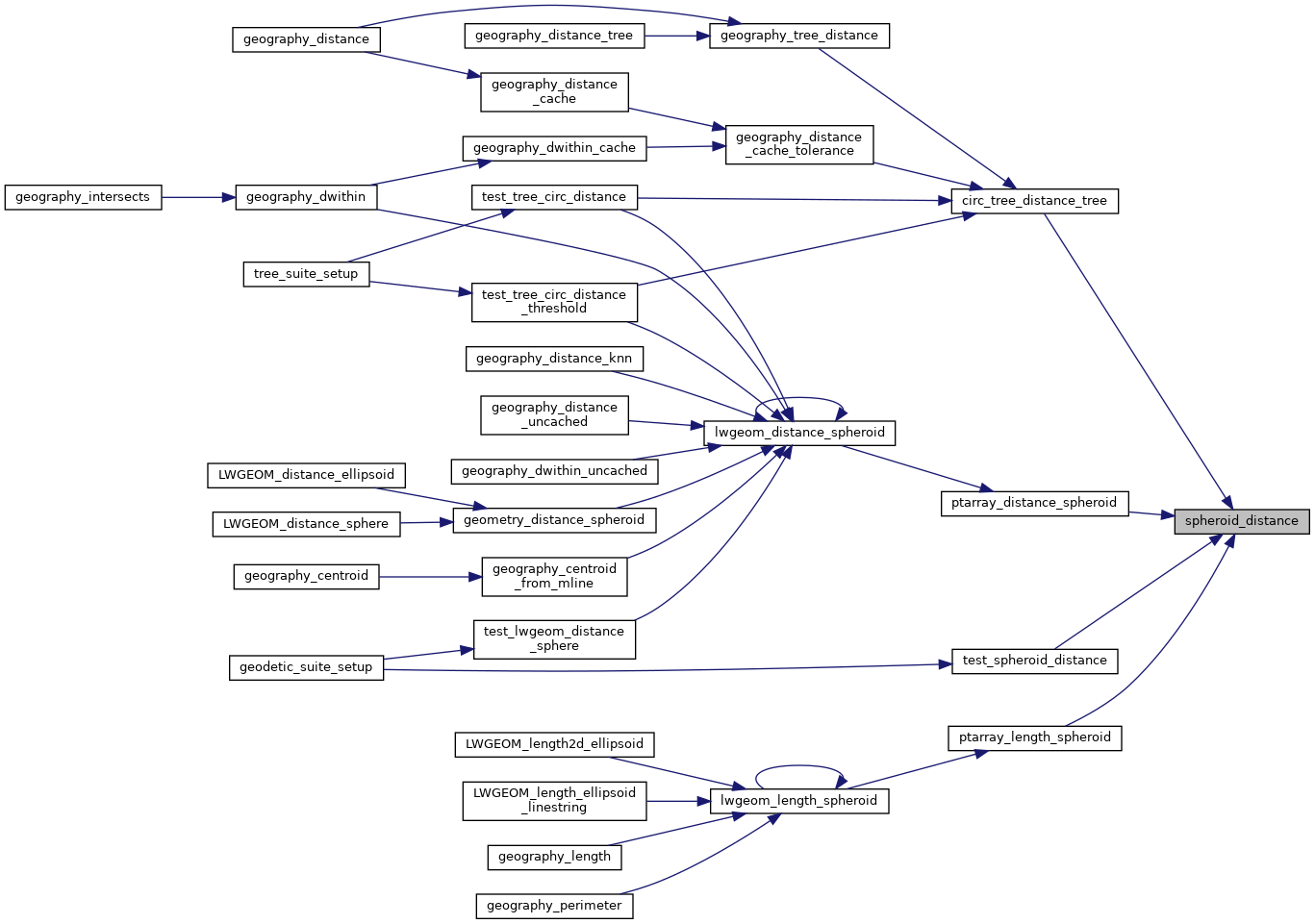
Referenced by circ_tree_distance_tree(), ptarray_distance_spheroid(), ptarray_length_spheroid(), and test_spheroid_distance().
Here is the call graph for this function:

Here is the caller graph for this function: