Loading...
Searching...
No Matches
◆ rt_raster_geos_spatial_relationship()
|
static |
Definition at line 137 of file rt_spatial_relationship.c.
142 {
143 LWMPOLY *surface1 = NULL;
144 LWMPOLY *surface2 = NULL;
145 GEOSGeometry *geom1 = NULL;
146 GEOSGeometry *geom2 = NULL;
147 int rtn = 0;
148 int flag = 0;
149
151
152 assert(NULL != rast1);
153 assert(NULL != rast2);
154 assert(NULL != testresult);
155
156 if (nband1 < 0 && nband2 < 0) {
157 nband1 = -1;
158 nband2 = -1;
159 }
160 else {
161 assert(nband1 >= 0 && nband1 < rt_raster_get_num_bands(rast1));
162 assert(nband2 >= 0 && nband2 < rt_raster_get_num_bands(rast2));
163 }
164
165 /* initialize to zero, false result of spatial relationship test */
166 *testresult = 0;
167
168 /* same srid */
172 }
173
175
176 /* get LWMPOLY of each band */
178 rterror("rt_raster_geos_spatial_relationship: Could not get surface of the specified band from the first raster");
180 }
182 rterror("rt_raster_geos_spatial_relationship: Could not get surface of the specified band from the second raster");
183 lwmpoly_free(surface1);
185 }
186
187 /* either surface is NULL, spatial relationship test is false */
188 if (surface1 == NULL || surface2 == NULL) {
192 }
193
194 /* convert LWMPOLY to GEOSGeometry */
196 lwmpoly_free(surface1);
197 if (geom1 == NULL) {
198 rterror("rt_raster_geos_spatial_relationship: Could not convert surface of the specified band from the first raster to a GEOSGeometry");
199 lwmpoly_free(surface2);
201 }
202
204 lwmpoly_free(surface2);
205 if (geom2 == NULL) {
206 rterror("rt_raster_geos_spatial_relationship: Could not convert surface of the specified band from the second raster to a GEOSGeometry");
208 }
209
210 flag = 0;
211 switch (testtype) {
213 rtn = GEOSOverlaps(geom1, geom2);
214 break;
216 rtn = GEOSTouches(geom1, geom2);
217 break;
219 rtn = GEOSContains(geom1, geom2);
220 break;
222 rtn = GEOSRelatePattern(geom1, geom2, "T**FF*FF*");
223 break;
225 rtn = GEOSRelatePattern(geom1, geom2, "******FF*");
226 break;
228 rtn = GEOSRelatePattern(geom1, geom2, "**F**F***");
229 break;
230 default:
231 rterror("rt_raster_geos_spatial_relationship: Unknown or unsupported GEOS spatial relationship test");
232 flag = -1;
233 break;
234 }
235 GEOSGeom_destroy(geom1);
236 GEOSGeom_destroy(geom2);
237
238 /* something happened in the spatial relationship test */
239 if (rtn == 2) {
240 rterror("rt_raster_geos_spatial_relationship: Could not run the appropriate GEOS spatial relationship test");
241 flag = ES_ERROR;
242 }
243 /* spatial relationship test ran fine */
244 else if (flag >= 0) {
245 if (rtn != 0)
246 *testresult = 1;
247 flag = ES_NONE;
248 }
249 /* flag < 0 for when testtype is unknown */
250 else
251 flag = ES_ERROR;
252
253 return flag;
254}
GEOSGeometry * LWGEOM2GEOS(const LWGEOM *lwgeom, uint8_t autofix)
Definition liblwgeom/lwgeom_geos.c:400
void rterror(const char *fmt,...) __attribute__((format(printf
Wrappers used for reporting errors and info.
void void rtinfo(const char *fmt,...) __attribute__((format(printf
rt_errorstate rt_raster_surface(rt_raster raster, int nband, LWMPOLY **surface)
Get a raster as a surface (multipolygon).
Definition rt_geometry.c:356
Definition liblwgeom.h:559
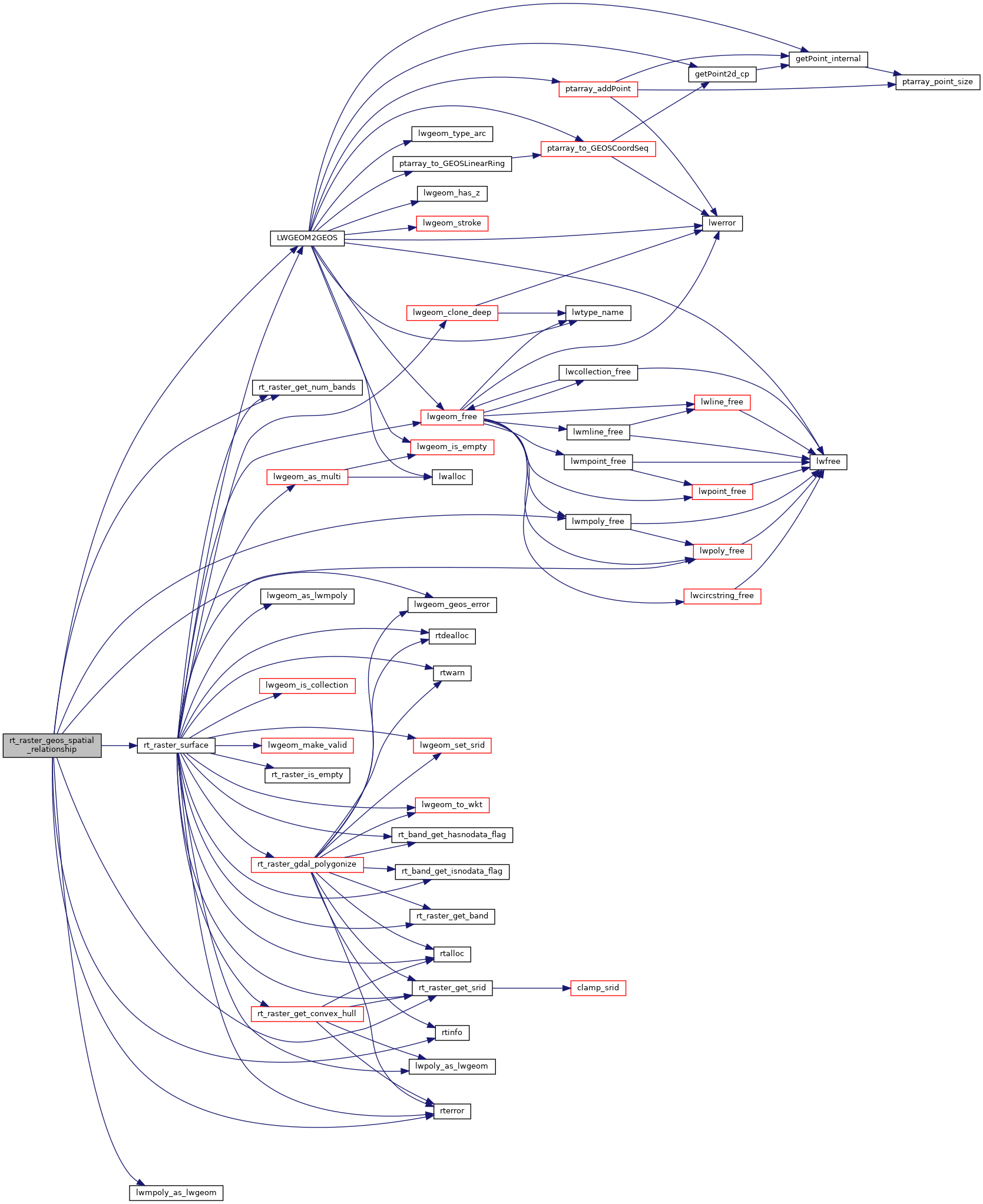
References ES_ERROR, ES_NONE, GSR_CONTAINS, GSR_CONTAINSPROPERLY, GSR_COVEREDBY, GSR_COVERS, GSR_OVERLAPS, GSR_TOUCHES, LWGEOM2GEOS(), lwgeom_geos_error(), lwmpoly_as_lwgeom(), lwmpoly_free(), RASTER_DEBUG, rt_raster_get_num_bands(), rt_raster_get_srid(), rt_raster_surface(), rterror(), and rtinfo().
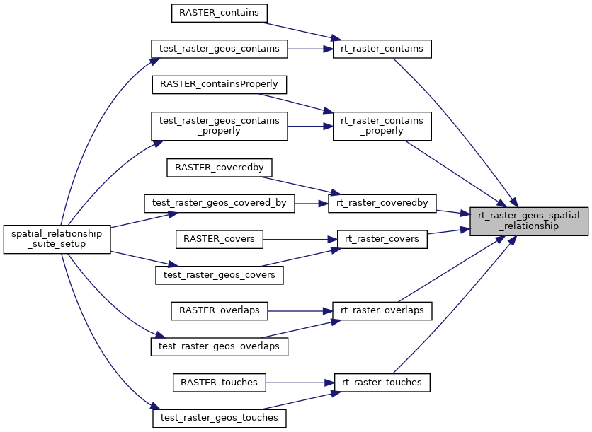
Referenced by rt_raster_contains(), rt_raster_contains_properly(), rt_raster_coveredby(), rt_raster_covers(), rt_raster_overlaps(), and rt_raster_touches().
Here is the call graph for this function:
Here is the caller graph for this function: