Loading...
Searching...
No Matches
◆ gserialized_expand()
| GSERIALIZED * gserialized_expand | ( | GSERIALIZED * | g, |
| double | distance | ||
| ) |
Return a GSERIALIZED with an expanded bounding box.
Definition at line 621 of file gserialized_gist_nd.c.
622{
623 GBOX gbox;
624 gbox_init(&gbox);
625
626 /* Get our bounding box out of the geography, return right away if
627 input is an EMPTY geometry. */
629 return g;
630
632
634}
void gbox_expand(GBOX *g, double d)
Move the box minimums down and the maximums up by the distance provided.
Definition gbox.c:97
GSERIALIZED * gserialized_set_gbox(GSERIALIZED *g, GBOX *gbox)
Copy a new bounding box into an existing gserialized.
Definition gserialized.c:60
int gserialized_get_gbox_p(const GSERIALIZED *g, GBOX *gbox)
Read the box from the GSERIALIZED or calculate it if necessary.
Definition gserialized.c:94
Definition liblwgeom.h:352
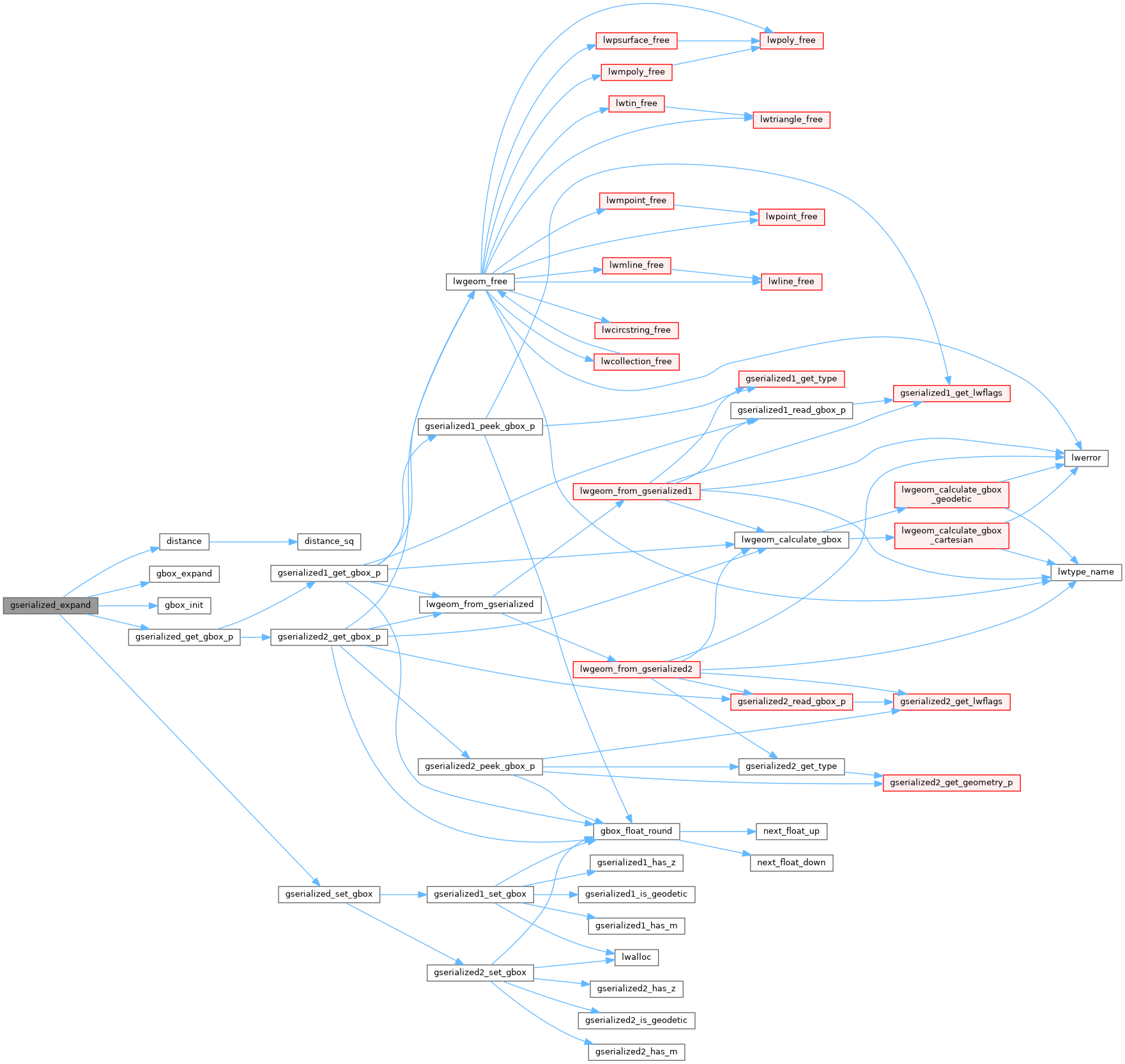
References distance(), gbox_expand(), gbox_init(), gserialized_get_gbox_p(), gserialized_set_gbox(), and LW_FAILURE.
Referenced by geography_expand().
Here is the call graph for this function:
Here is the caller graph for this function: