Loading...
Searching...
No Matches
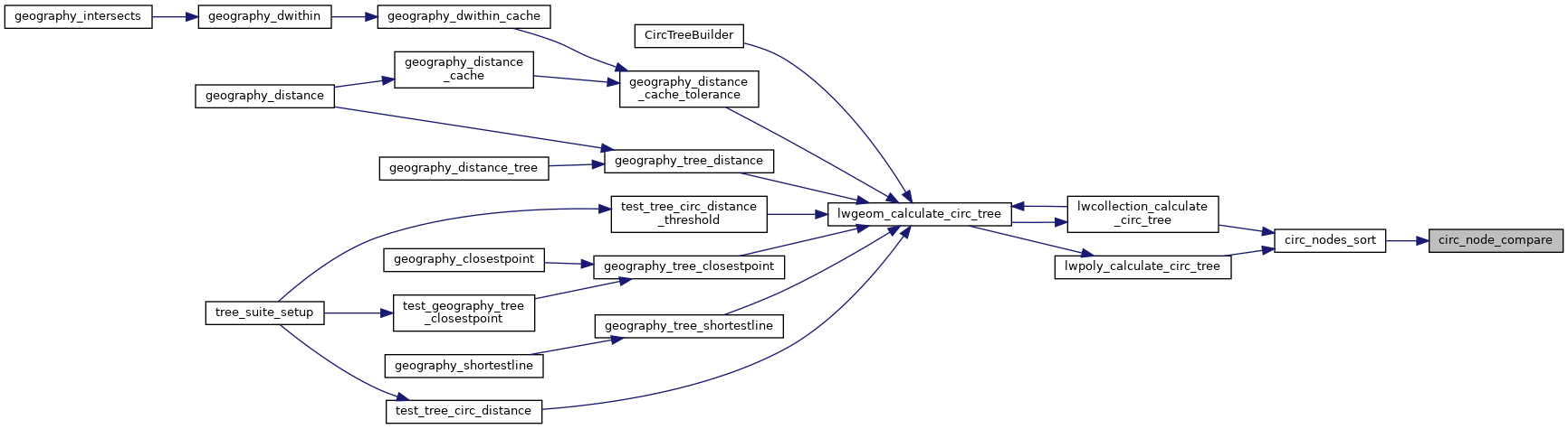
◆ circ_node_compare()
|
static |
Comparing on geohash ensures that nearby nodes will be close to each other in the list.
Definition at line 142 of file lwgeodetic_tree.c.
143{
144 POINT2D p1, p2;
145 unsigned int u1, u2;
152 u1 = geohash_point_as_int(&p1);
153 u2 = geohash_point_as_int(&p2);
154 if ( u1 < u2 ) return -1;
155 if ( u1 > u2 ) return 1;
156 return 0;
157}
Definition liblwgeom.h:389
Note that p1 and p2 are pointers into an independent POINTARRAY, do not free them.
Definition lwgeodetic_tree.h:37
References circ_node::center, geohash_point_as_int(), rad2deg, POINT2D::x, and POINT2D::y.
Referenced by circ_nodes_sort().
Here is the call graph for this function:
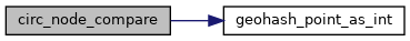
Here is the caller graph for this function: