Loading...
Searching...
No Matches
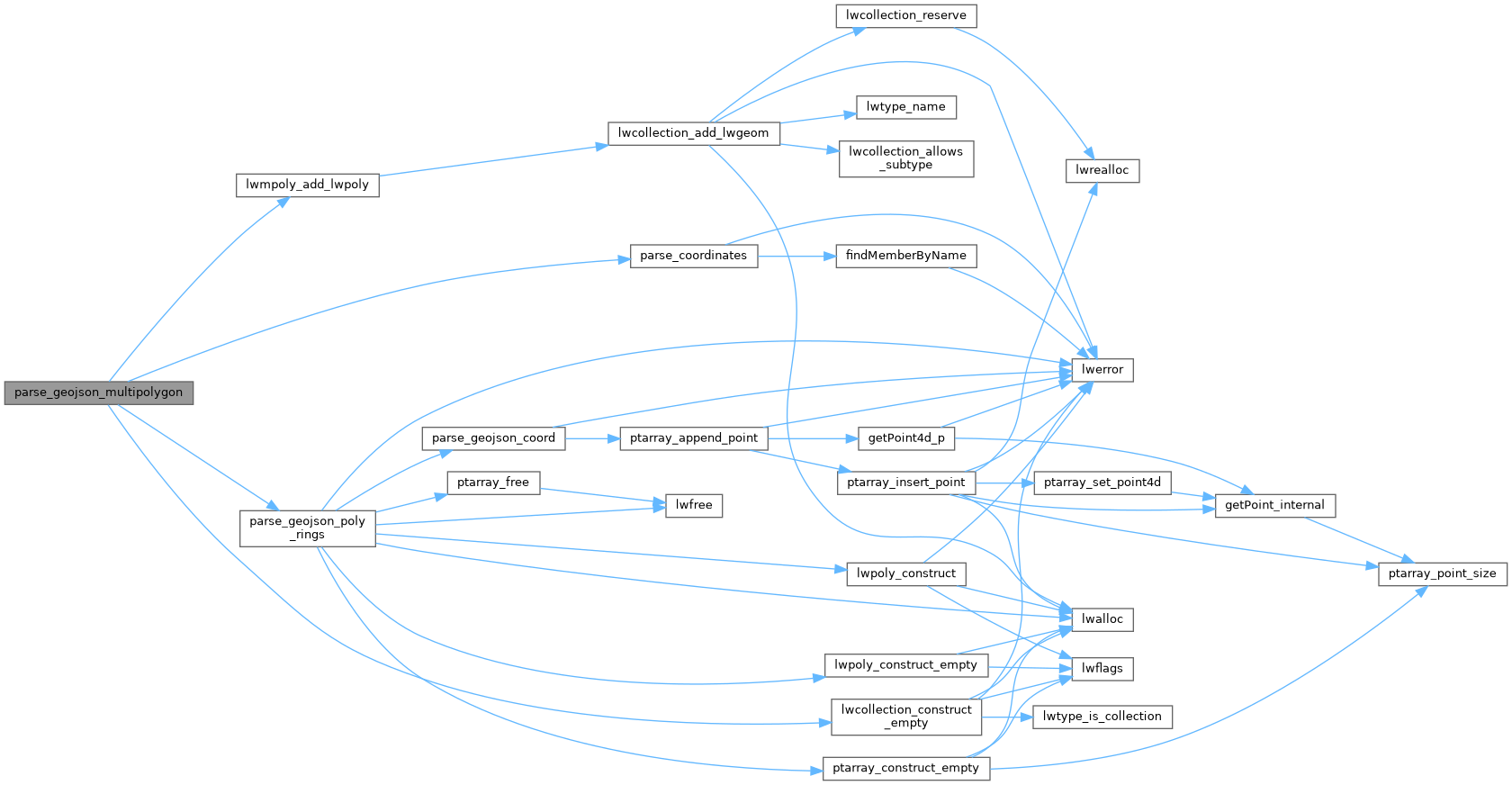
◆ parse_geojson_multipolygon()
|
inlinestatic |
Definition at line 312 of file lwin_geojson.c.
313{
314 json_object *polys = parse_coordinates(geojson);
315 if (!polys)
316 return NULL;
318 int nPolys = json_object_array_length(polys);
319
320 for (int i = 0; i < nPolys; ++i)
321 {
322 json_object *rings = json_object_array_get_idx(polys, i);
324 if (poly)
326 }
327
328 return geom;
329}
LWMPOLY * lwmpoly_add_lwpoly(LWMPOLY *mobj, const LWPOLY *obj)
Definition lwmpoly.c:47
LWCOLLECTION * lwcollection_construct_empty(uint8_t type, int32_t srid, char hasz, char hasm)
Definition lwcollection.c:92
static json_object * parse_coordinates(json_object *geojson)
Definition lwin_geojson.c:87
static LWPOLY * parse_geojson_poly_rings(json_object *rings, int *hasz)
Definition lwin_geojson.c:176
Definition liblwgeom.h:457
Definition liblwgeom.h:559
Definition liblwgeom.h:517
References lwcollection_construct_empty(), lwmpoly_add_lwpoly(), MULTIPOLYGONTYPE, parse_coordinates(), and parse_geojson_poly_rings().
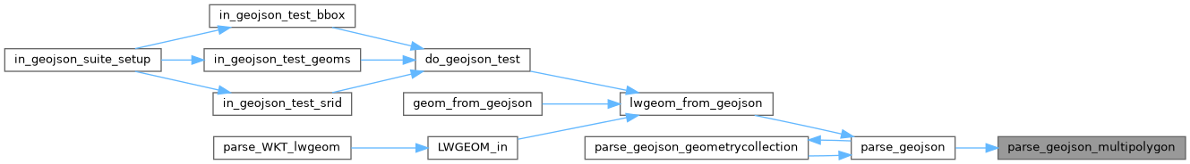
Referenced by parse_geojson().
Here is the call graph for this function:
Here is the caller graph for this function: