Loading...
Searching...
No Matches
◆ geography_tree_closestpoint()
Definition at line 1035 of file lwgeodetic_tree.c.
1036{
1037 CIRC_NODE* circ_tree1 = NULL;
1038 CIRC_NODE* circ_tree2 = NULL;
1039 double min_dist = FLT_MAX;
1040 double max_dist = FLT_MAX;
1041 GEOGRAPHIC_POINT closest1, closest2;
1043 POINT4D p;
1044
1045 circ_tree1 = lwgeom_calculate_circ_tree(lwgeom1);
1046 circ_tree2 = lwgeom_calculate_circ_tree(lwgeom2);
1047
1048 /* Quietly decrease the threshold just a little to avoid cases where */
1049 /* the actual spheroid distance is larger than the sphere distance */
1050 /* causing the return value to be larger than the threshold value */
1051 // double threshold_radians = 0.95 * threshold / spheroid->radius;
1053
1055 circ_tree1, circ_tree2, threshold_radians,
1056 &min_dist, &max_dist, &closest1, &closest2);
1057
1061
1062 circ_tree_free(circ_tree1);
1063 circ_tree_free(circ_tree2);
1065}
CIRC_NODE * lwgeom_calculate_circ_tree(const LWGEOM *lwgeom)
Definition lwgeodetic_tree.c:1004
void circ_tree_free(CIRC_NODE *node)
Recurse from top of node tree and free all children.
Definition lwgeodetic_tree.c:49
double circ_tree_distance_tree_internal(const CIRC_NODE *n1, const CIRC_NODE *n2, double threshold, double *min_dist, double *max_dist, GEOGRAPHIC_POINT *closest1, GEOGRAPHIC_POINT *closest2)
Definition lwgeodetic_tree.c:677
Definition liblwgeom.h:457
Definition liblwgeom.h:413
Note that p1 and p2 are pointers into an independent POINTARRAY, do not free them.
Definition lwgeodetic_tree.h:37
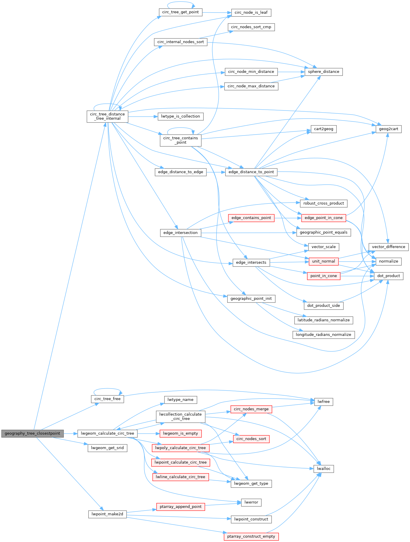
References circ_tree_distance_tree_internal(), circ_tree_free(), GEOGRAPHIC_POINT::lat, GEOGRAPHIC_POINT::lon, lwgeom_calculate_circ_tree(), lwgeom_get_srid(), lwpoint_make2d(), rad2deg, result, WGS84_RADIUS, POINT4D::x, and POINT4D::y.
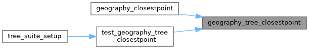
Referenced by geography_closestpoint(), and test_geography_tree_closestpoint().
Here is the call graph for this function:
Here is the caller graph for this function: