Loading...
Searching...
No Matches
◆ dbscan_update_context()
|
static |
Definition at line 263 of file lwgeom_geos_cluster.c.
264{
265 cxt->num_items_found = 0;
266
267 GEOSGeometry* query_envelope;
268
270
272 {
275 } else {
277 query_envelope = make_geos_segment( box->xmin - eps, box->ymin - eps, box->xmax + eps, box->ymax + eps );
278 }
279
280 if (!query_envelope)
282
283 GEOSSTRtree_query(tree, query_envelope, &query_accumulate, cxt);
284
285 GEOSGeom_destroy(query_envelope);
286
288}
GEOSGeometry * make_geos_segment(double x1, double y1, double x2, double y2)
Definition liblwgeom/lwgeom_geos.c:602
const GBOX * lwgeom_get_bbox(const LWGEOM *lwgeom)
Get a non-empty geometry bounding box, computing and caching it if not already there.
Definition lwgeom.c:771
static void query_accumulate(void *item, void *userdata)
Definition lwgeom_geos_cluster.c:139
static const POINT2D * getPoint2d_cp(const POINTARRAY *pa, uint32_t n)
Returns a POINT2D pointer into the POINTARRAY serialized_ptlist, suitable for reading from.
Definition lwinline.h:97
Definition liblwgeom.h:352
Definition liblwgeom.h:389
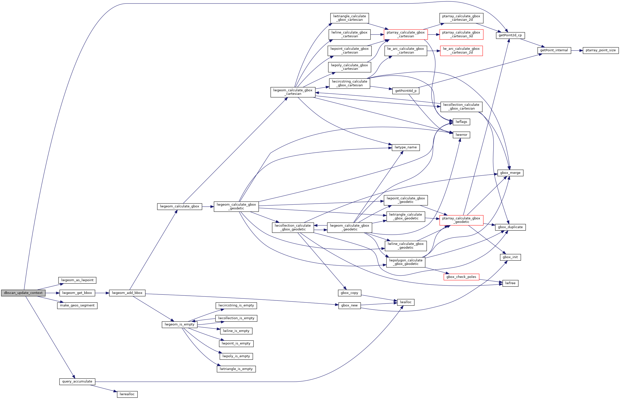
References getPoint2d_cp(), LW_FAILURE, LW_ON_INTERRUPT, LW_SUCCESS, lwgeom_as_lwpoint(), lwgeom_get_bbox(), make_geos_segment(), QueryContext::num_items_found, POINTTYPE, query_accumulate(), POINT2D::x, GBOX::xmax, GBOX::xmin, POINT2D::y, GBOX::ymax, and GBOX::ymin.
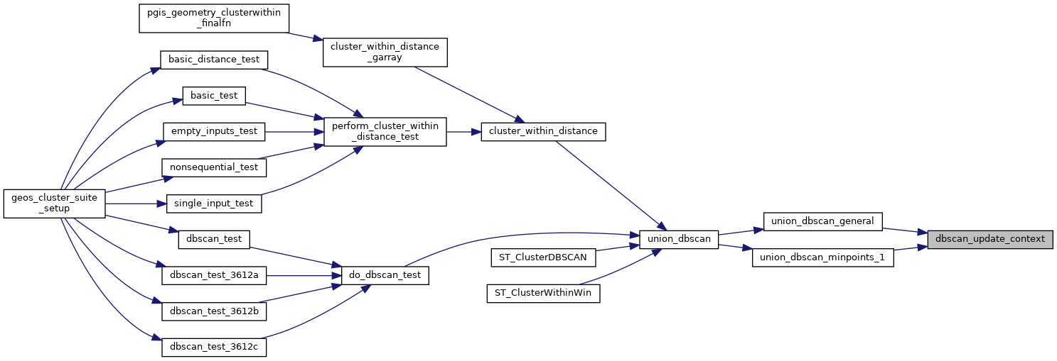
Referenced by union_dbscan_general(), and union_dbscan_minpoints_1().
Here is the call graph for this function:
Here is the caller graph for this function: