Loading...
Searching...
No Matches
◆ geography_bestsrid()
| Datum geography_bestsrid | ( | PG_FUNCTION_ARGS | ) |
Definition at line 794 of file geography_measurement.c.
795{
796 GBOX gbox, gbox1, gbox2;
797 GSERIALIZED *g1 = NULL;
798 GSERIALIZED *g2 = NULL;
801 double xwidth, ywidth;
802 POINT2D center;
803 LWGEOM *lwgeom;
804
805 /* Get our geometry objects loaded into memory. */
806 g1 = PG_GETARG_GSERIALIZED_P(0);
807 /* Synchronize our box types */
809 /* Calculate if the geometry is empty. */
810 empty1 = gserialized_is_empty(g1);
811
812 /* Convert g1 to LWGEOM type */
813 lwgeom = lwgeom_from_gserialized(g1);
814
815 /* Calculate a geocentric bounds for the objects */
817 elog(ERROR, "Error in geography_bestsrid calling gserialized_get_gbox_p(g1, &gbox1)");
818
820
822 elog(ERROR, "Error in geography_bestsrid calling with infinite coordinate geographies");
823 }
824 lwgeom_free(lwgeom);
825
826 /* If we have a unique second argument, fill in all the necessary variables. */
827 if (PG_NARGS() > 1)
828 {
829 g2 = PG_GETARG_GSERIALIZED_P(1);
831 empty2 = gserialized_is_empty(g2);
833 elog(ERROR, "Error in geography_bestsrid calling gserialized_get_gbox_p(g2, &gbox2)");
834
835 /* Convert g2 to LWGEOM type */
836 lwgeom = lwgeom_from_gserialized(g2);
837
839 elog(ERROR, "Error in geography_bestsrid calling with second arg infinite coordinate geographies");
840 }
841 lwgeom_free(lwgeom);
842 }
843 /*
844 ** If no unique second argument, copying the box for the first
845 ** argument will give us the right answer for all subsequent tests.
846 */
847 else
848 {
849 gbox = gbox2 = gbox1;
850 }
851
852 /* Both empty? We don't have an answer. */
853 if ( empty1 && empty2 )
854 PG_RETURN_NULL();
855
856 /* One empty? We can use the other argument values as infill. Otherwise merge the boxen */
857 if ( empty1 )
858 gbox = gbox2;
859 else if ( empty2 )
860 gbox = gbox1;
861 else
862 gbox_union(&gbox1, &gbox2, &gbox);
863
864 gbox_centroid(&gbox, ¢er);
865
866 /* Width and height in degrees */
867 xwidth = 180.0 * gbox_angular_width(&gbox) / M_PI;
868 ywidth = 180.0 * gbox_angular_height(&gbox) / M_PI;
869
870 POSTGIS_DEBUGF(2, "xwidth %g", xwidth);
871 POSTGIS_DEBUGF(2, "ywidth %g", ywidth);
873
874 /* Are these data arctic? Lambert Azimuthal Equal Area North. */
876 {
877 PG_RETURN_INT32(SRID_NORTH_LAMBERT);
878 }
879
880 /* Are these data antarctic? Lambert Azimuthal Equal Area South. */
882 {
883 PG_RETURN_INT32(SRID_SOUTH_LAMBERT);
884 }
885
886 /*
887 ** Can we fit these data into one UTM zone?
888 ** We will assume we can push things as
889 ** far as a half zone past a zone boundary.
890 ** Note we have no handling for the date line in here.
891 */
892 if ( xwidth < 6.0 )
893 {
895
896 if ( zone > 59 ) zone = 59;
897
898 /* Are these data below the equator? UTM South. */
900 {
901 PG_RETURN_INT32( SRID_SOUTH_UTM_START + zone );
902 }
903 /* Are these data above the equator? UTM North. */
904 else
905 {
906 PG_RETURN_INT32( SRID_NORTH_UTM_START + zone );
907 }
908 }
909
910 /*
911 ** Can we fit into a custom LAEA area? (30 degrees high, variable width)
912 ** We will allow overlap into adjoining areas, but use a slightly narrower test (25) to try
913 ** and minimize the worst case.
914 ** Again, we are hoping the dateline doesn't trip us up much
915 */
916 if ( ywidth < 25.0 )
917 {
918 int xzone = -1;
920
921 /* Equatorial band, 12 zones, 30 degrees wide */
922 if ( (yzone == 2 || yzone == 3) && xwidth < 30.0 )
923 {
924 xzone = 6 + floor(center.x / 30.0);
925 }
926 /* Temperate band, 8 zones, 45 degrees wide */
927 else if ( (yzone == 1 || yzone == 4) && xwidth < 45.0 )
928 {
929 xzone = 4 + floor(center.x / 45.0);
930 }
931 /* Arctic band, 4 zones, 90 degrees wide */
932 else if ( (yzone == 0 || yzone == 5) && xwidth < 90.0 )
933 {
934 xzone = 2 + floor(center.x / 90.0);
935 }
936
937 /* Did we fit into an appropriate xzone? */
938 if ( xzone != -1 )
939 {
940 PG_RETURN_INT32(SRID_LAEA_START + 20 * yzone + xzone);
941 }
942 }
943
944 /*
945 ** Running out of options... fall-back to Mercator
946 ** and hope for the best.
947 */
948 PG_RETURN_INT32(SRID_WORLD_MERCATOR);
949
950}
int gbox_union(const GBOX *g1, const GBOX *g2, GBOX *gout)
Update the output GBOX to be large enough to include both inputs.
Definition gbox.c:135
char * gbox_to_string(const GBOX *gbox)
Allocate a string representation of the GBOX, based on dimensionality of flags.
Definition gbox.c:404
LWGEOM * lwgeom_from_gserialized(const GSERIALIZED *g)
Allocate a new LWGEOM from a GSERIALIZED.
Definition gserialized.c:268
int gserialized_get_gbox_p(const GSERIALIZED *g, GBOX *gbox)
Read the box from the GSERIALIZED or calculate it if necessary.
Definition gserialized.c:94
int gserialized_is_empty(const GSERIALIZED *g)
Check if a GSERIALIZED is empty without deserializing first.
Definition gserialized.c:181
lwflags_t gserialized_get_lwflags(const GSERIALIZED *g)
Read the flags from a GSERIALIZED and return a standard lwflag integer.
Definition gserialized.c:47
int lwgeom_isfinite(const LWGEOM *lwgeom)
Check if a LWGEOM has any non-finite (NaN or Inf) coordinates.
Definition lwgeom.c:2835
double gbox_angular_height(const GBOX *gbox)
GBOX utility functions to figure out coverage/location on the globe.
Definition lwgeodetic.c:188
double gbox_angular_width(const GBOX *gbox)
Returns the angular width (longitudinal span) of the box in radians.
Definition lwgeodetic.c:215
int gbox_centroid(const GBOX *gbox, POINT2D *out)
Computes the average(ish) center of the box and returns success.
Definition lwgeodetic.c:267
Definition liblwgeom.h:352
Definition liblwgeom.h:443
Definition liblwgeom.h:457
Definition liblwgeom.h:389
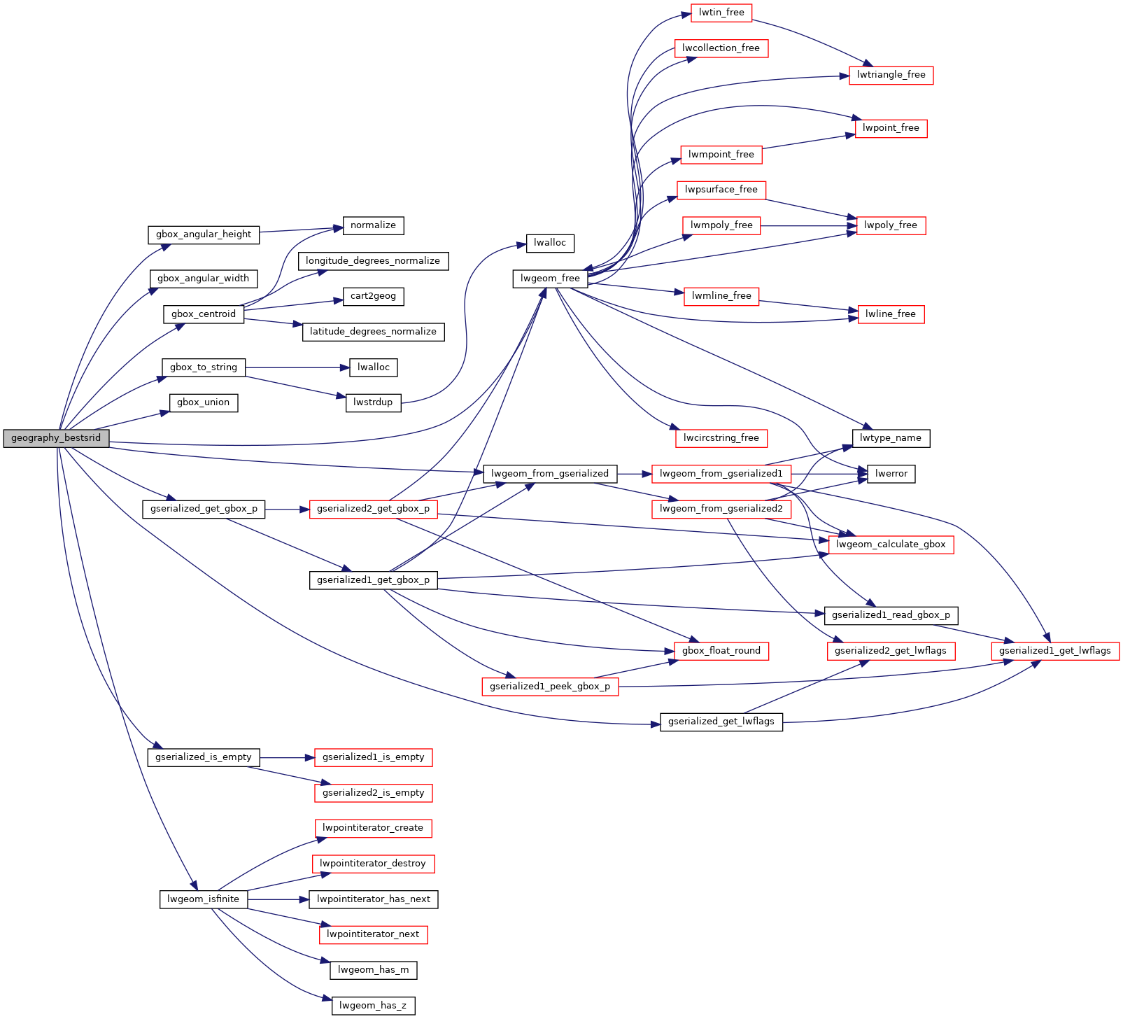
References GBOX::flags, gbox_angular_height(), gbox_angular_width(), gbox_centroid(), gbox_to_string(), gbox_union(), gserialized_get_gbox_p(), gserialized_get_lwflags(), gserialized_is_empty(), LW_FAILURE, LW_FALSE, lwgeom_free(), lwgeom_from_gserialized(), lwgeom_isfinite(), POINT2D::x, and POINT2D::y.
Here is the call graph for this function: