Loading...
Searching...
No Matches
◆ ptarray_segmentize2d()
|
extern |
Returns a modified POINTARRAY so that no segment is longer than the given distance (computed using 2d).
Every input point is kept. Z and M values for added points (if needed) are set proportionally.
Definition at line 413 of file ptarray.c.
414{
415 double segdist;
416 POINT4D p1, p2;
417 POINT4D pbuf;
418 POINTARRAY *opa;
419 uint32_t i, j, nseg;
422
424
425 /* Initial storage */
427
428 /* Add first point */
429 getPoint4d_p(ipa, 0, &p1);
431
432 /* Loop on all other input points */
434 {
435 /*
436 * We use these pointers to avoid
437 * "strict-aliasing rules break" warning raised
438 * by gcc (3.3 and up).
439 *
440 * It looks that casting a variable address (also
441 * referred to as "type-punned pointer")
442 * breaks those "strict" rules.
443 */
444 POINT4D *p1ptr=&p1, *p2ptr=&p2;
445 double segments;
446
447 getPoint4d_p(ipa, i, &p2);
448
450 /* Split input segment into shorter even chunks */
451 segments = ceil(segdist / dist);
452
453 /* Uses INT32_MAX instead of UINT32_MAX to be safe that it fits */
455 {
457 __FILE__, __LINE__,__func__, segments);
458 ptarray_free(opa);
459 return NULL;
460 }
461 nseg = segments;
462
463 for (j = 1; j < nseg; j++)
464 {
467 if (hasz)
469 if (hasm)
473 }
474
476 p1 = p2;
478 }
479
480 return opa;
481}
double distance2d_pt_pt(const POINT2D *p1, const POINT2D *p2)
Definition measures.c:2344
int getPoint4d_p(const POINTARRAY *pa, uint32_t n, POINT4D *point)
Definition lwgeom_api.c:125
void lwnotice(const char *fmt,...) __attribute__((format(printf
Write a notice out to the notice handler.
POINTARRAY * ptarray_construct_empty(char hasz, char hasm, uint32_t maxpoints)
Create a new POINTARRAY with no points.
Definition ptarray.c:59
int ptarray_append_point(POINTARRAY *pa, const POINT4D *pt, int repeated_points)
Append a point to the end of an existing POINTARRAY If allow_duplicate is LW_FALSE,...
Definition ptarray.c:147
Definition liblwgeom.h:389
Definition liblwgeom.h:413
Definition liblwgeom.h:426
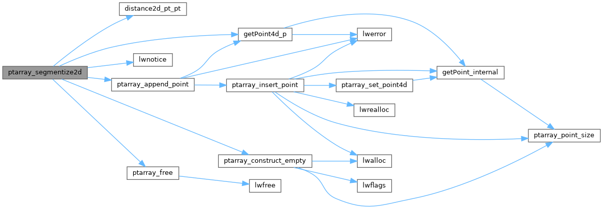
References distance2d_pt_pt(), POINTARRAY::flags, FLAGS_GET_M, FLAGS_GET_Z, getPoint4d_p(), INT32_MAX, LW_FALSE, LW_ON_INTERRUPT, LW_TRUE, lwnotice(), POINT4D::m, POINTARRAY::npoints, ptarray_append_point(), ptarray_construct_empty(), ptarray_free(), POINT4D::x, POINT4D::y, and POINT4D::z.
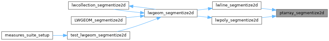
Referenced by lwline_segmentize2d(), and lwpoly_segmentize2d().
Here is the call graph for this function:
Here is the caller graph for this function: