Loading...
Searching...
No Matches
◆ lwgeom_length()
|
extern |
Definition at line 2066 of file lwgeom.c.
2067{
2076 {
2077 double length = 0.0;
2078 uint32_t i;
2082 return length;
2083 }
2084 else
2085 return 0.0;
2086}
double lwcircstring_length(const LWCIRCSTRING *circ)
Definition lwcircstring.c:263
int lwgeom_is_collection(const LWGEOM *geom)
Determine whether a LWGEOM contains sub-geometries or not This basically just checks that the struct ...
Definition lwgeom.c:1125
Definition liblwgeom.h:505
Definition liblwgeom.h:573
Definition liblwgeom.h:587
Definition liblwgeom.h:481
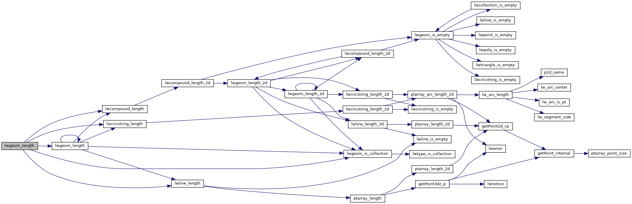
References CIRCSTRINGTYPE, COMPOUNDTYPE, LWCOLLECTION::geoms, LINETYPE, lwcircstring_length(), lwcompound_length(), lwgeom_is_collection(), lwgeom_length(), lwline_length(), LWCOLLECTION::ngeoms, and LWGEOM::type.
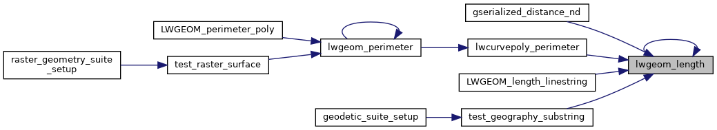
Referenced by gserialized_distance_nd(), lwcurvepoly_perimeter(), lwgeom_length(), LWGEOM_length_linestring(), and test_geography_substring().
Here is the call graph for this function:
Here is the caller graph for this function: