Loading...
Searching...
No Matches
◆ lwgeom_startpoint()
Definition at line 2249 of file lwgeom.c.
2250{
2253
2255 {
2273 default:
2276 }
2277}
const char * lwtype_name(uint8_t type)
Return the type name string associated with a type number (e.g.
Definition lwutil.c:216
int lwcollection_startpoint(const LWCOLLECTION *col, POINT4D *pt)
Definition lwcollection.c:550
int ptarray_startpoint(const POINTARRAY *pa, POINT4D *pt)
Definition ptarray.c:2219
void void lwerror(const char *fmt,...) __attribute__((format(printf
Write a notice out to the error handler.
static int lwgeom_is_empty(const LWGEOM *geom)
Return true or false depending on whether a geometry is an "empty" geometry (no vertices members)
Definition lwinline.h:199
Definition liblwgeom.h:573
Definition liblwgeom.h:481
Definition liblwgeom.h:469
Definition liblwgeom.h:517
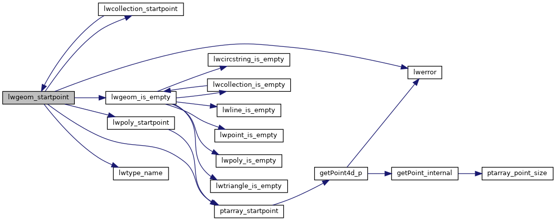
References CIRCSTRINGTYPE, COLLECTIONTYPE, COMPOUNDTYPE, CURVEPOLYTYPE, LINETYPE, LW_FAILURE, lwcollection_startpoint(), lwerror(), lwgeom_is_empty(), lwpoly_startpoint(), lwtype_name(), MULTILINETYPE, MULTIPOINTTYPE, MULTIPOLYGONTYPE, POINTTYPE, POLYGONTYPE, POLYHEDRALSURFACETYPE, ptarray_startpoint(), TINTYPE, TRIANGLETYPE, LWGEOM::type, and LWPOINT::type.
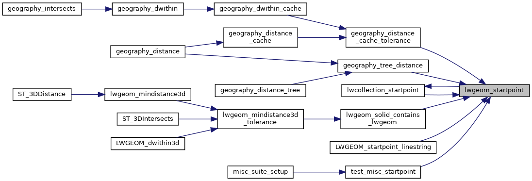
Referenced by geography_distance_cache_tolerance(), geography_tree_distance(), lwcollection_startpoint(), lwgeom_solid_contains_lwgeom(), LWGEOM_startpoint_linestring(), and test_misc_startpoint().
Here is the call graph for this function:
Here is the caller graph for this function: