Loading...
Searching...
No Matches
◆ ST_MMax()
| Datum ST_MMax | ( | PG_FUNCTION_ARGS | ) |
Definition at line 478 of file lwgeom_box3d.c.
479{
480 GBOX gbox;
481 GSERIALIZED *gser = PG_GETARG_GSERIALIZED_P(0);
482
484 PG_RETURN_NULL();
485
487 PG_RETURN_NULL();
488
490}
int gserialized_get_gbox_p(const GSERIALIZED *g, GBOX *gbox)
Read the box from the GSERIALIZED or calculate it if necessary.
Definition gserialized.c:94
Definition liblwgeom.h:352
Definition liblwgeom.h:443
References GBOX::flags, FLAGS_GET_M, gserialized_get_gbox_p(), LW_TRUE, GBOX::mmax, and GBOX::mmin.
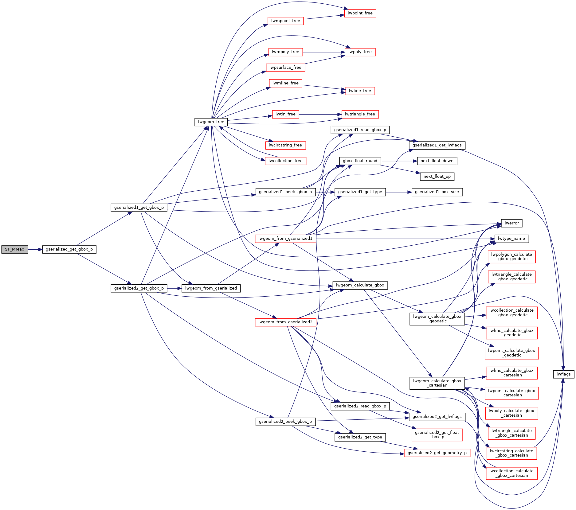
Here is the call graph for this function:
