Loading...
Searching...
No Matches
◆ lwcircstring_from_lwpointarray()
| LWCIRCSTRING * lwcircstring_from_lwpointarray | ( | int32_t | srid, |
| uint32_t | npoints, | ||
| const LWPOINT ** | points | ||
| ) |
Definition at line 140 of file lwcircstring.c.
141{
142 uint32_t i;
143 POINTARRAY *pa;
144 int has_z = 0, has_m = 0;
145 POINT4D pt;
146
147 /*
148 * Find output dimensions, check integrity
149 */
150 for (i = 0; i < npoints; i++)
151 {
154 {
156 return NULL;
157 }
158 has_z |= lwgeom_has_z(lwg);
159 has_m |= lwgeom_has_m(lwg);
160 if (has_z && has_m) break;
161 }
162
163 /*
164 * Allocate output points array
165 */
166 pa = ptarray_construct(has_z, has_m, npoints);
167
168 for (i = 0; i < npoints; i++)
169 {
172 {
174 return NULL;
175 }
176 ptarray_set_point4d(pa, i, &pt);
177 }
178
180}
const char * lwtype_name(uint8_t type)
Return the type name string associated with a type number (e.g.
Definition lwutil.c:216
int lwgeom_has_z(const LWGEOM *geom)
Return LW_TRUE if geometry has Z ordinates.
Definition lwgeom.c:962
int getPoint4d_p(const POINTARRAY *pa, uint32_t n, POINT4D *point)
Definition lwgeom_api.c:125
int lwgeom_has_m(const LWGEOM *geom)
Return LW_TRUE if geometry has M ordinates.
Definition lwgeom.c:969
void ptarray_set_point4d(POINTARRAY *pa, uint32_t n, const POINT4D *p4d)
Definition lwgeom_api.c:369
POINTARRAY * ptarray_construct(char hasz, char hasm, uint32_t npoints)
Construct an empty pointarray, allocating storage and setting the npoints, but not filling in any inf...
Definition ptarray.c:51
LWCIRCSTRING * lwcircstring_construct(int32_t srid, GBOX *bbox, POINTARRAY *points)
Definition lwcircstring.c:49
void void lwerror(const char *fmt,...) __attribute__((format(printf
Write a notice out to the error handler.
Definition liblwgeom.h:457
Definition liblwgeom.h:469
Definition liblwgeom.h:413
Definition liblwgeom.h:426
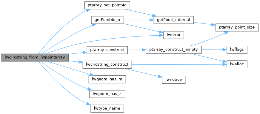
References getPoint4d_p(), lwcircstring_construct(), lwerror(), lwgeom_has_m(), lwgeom_has_z(), lwtype_name(), LWPOINT::point, POINTTYPE, ptarray_construct(), ptarray_set_point4d(), and LWGEOM::type.
Here is the call graph for this function: