Loading...
Searching...
No Matches
◆ CircTreePIP()
|
static |
Definition at line 99 of file geography_measurement_trees.c.
100{
102 GBOX gbox1;
103 GEOGRAPHIC_POINT in_gpoint;
104 POINT3D in_point3d;
105
106 POSTGIS_DEBUGF(3, "tree1_type=%d", tree1_type);
107
108 /* If the tree'ed argument is a polygon, do the P-i-P using the tree-based P-i-P */
110 {
111 POSTGIS_DEBUG(3, "tree is a polygon, using tree PiP");
112 /* Need a gbox to calculate an outside point */
114 {
116 POSTGIS_DEBUG(3, "unable to read gbox from gserialized, calculating from scratch");
117 lwgeom_calculate_gbox_geodetic(lwgeom1, &gbox1);
118 lwgeom_free(lwgeom1);
119 }
120
121 /* Flip the candidate point into geographics */
123 geog2cart(&in_gpoint, &in_point3d);
124
125 /* If the candidate isn't in the tree box, it's not in the tree area */
127 {
128 POSTGIS_DEBUG(3, "in_point3d is not inside the tree gbox, CircTreePIP returning FALSE");
130 }
131 /* The candidate point is in the box, so it *might* be inside the tree */
132 else
133 {
135 POINT2D pt2d_inside;
138 /* Calculate a definitive outside point */
141 lwpgerror("%s: Unable to generate outside point!", __func__);
142
143 POSTGIS_DEBUGF(3, "p2d_inside=POINT(%g %g) p2d_outside=POINT(%g %g)", pt2d_inside.x, pt2d_inside.y, pt2d_outside.x, pt2d_outside.y);
144 /* Test the candidate point for strict containment */
145 POSTGIS_DEBUG(3, "calling circ_tree_contains_point for PiP test");
147 }
148 }
149 else
150 {
151 POSTGIS_DEBUG(3, "tree1 not polygonal, so CircTreePIP returning FALSE");
153 }
154}
int gbox_contains_point3d(const GBOX *gbox, const POINT3D *pt)
Return true if the point is inside the gbox.
Definition gbox.c:247
LWGEOM * lwgeom_from_gserialized(const GSERIALIZED *g)
Allocate a new LWGEOM from a GSERIALIZED.
Definition gserialized.c:268
int gserialized_get_gbox_p(const GSERIALIZED *g, GBOX *gbox)
Read the box from the GSERIALIZED or calculate it if necessary.
Definition gserialized.c:94
uint32_t gserialized_get_type(const GSERIALIZED *g)
Extract the geometry type from the serialized form (it hides in the anonymous data area,...
Definition gserialized.c:118
int gbox_pt_outside(const GBOX *gbox, POINT2D *pt_outside)
Calculate a spherical point that falls outside the geocentric gbox.
Definition lwgeodetic.c:1506
int lwgeom_calculate_gbox_geodetic(const LWGEOM *geom, GBOX *gbox)
Calculate the geodetic bounding box for an LWGEOM.
Definition lwgeodetic.c:2876
void geographic_point_init(double lon, double lat, GEOGRAPHIC_POINT *g)
Initialize a geographic point.
Definition lwgeodetic.c:180
void geog2cart(const GEOGRAPHIC_POINT *g, POINT3D *p)
Convert spherical coordinates to cartesian coordinates on unit sphere.
Definition lwgeodetic.c:404
int circ_tree_get_point_outside(const CIRC_NODE *node, POINT2D *pt)
Definition lwgeodetic_tree.c:474
int circ_tree_contains_point(const CIRC_NODE *node, const POINT2D *pt, const POINT2D *pt_outside, int level, int *on_boundary)
Walk the tree and count intersections between the stab line and the edges.
Definition lwgeodetic_tree.c:494
Definition liblwgeom.h:352
Definition liblwgeom.h:457
Definition liblwgeom.h:389
Definition liblwgeom.h:401
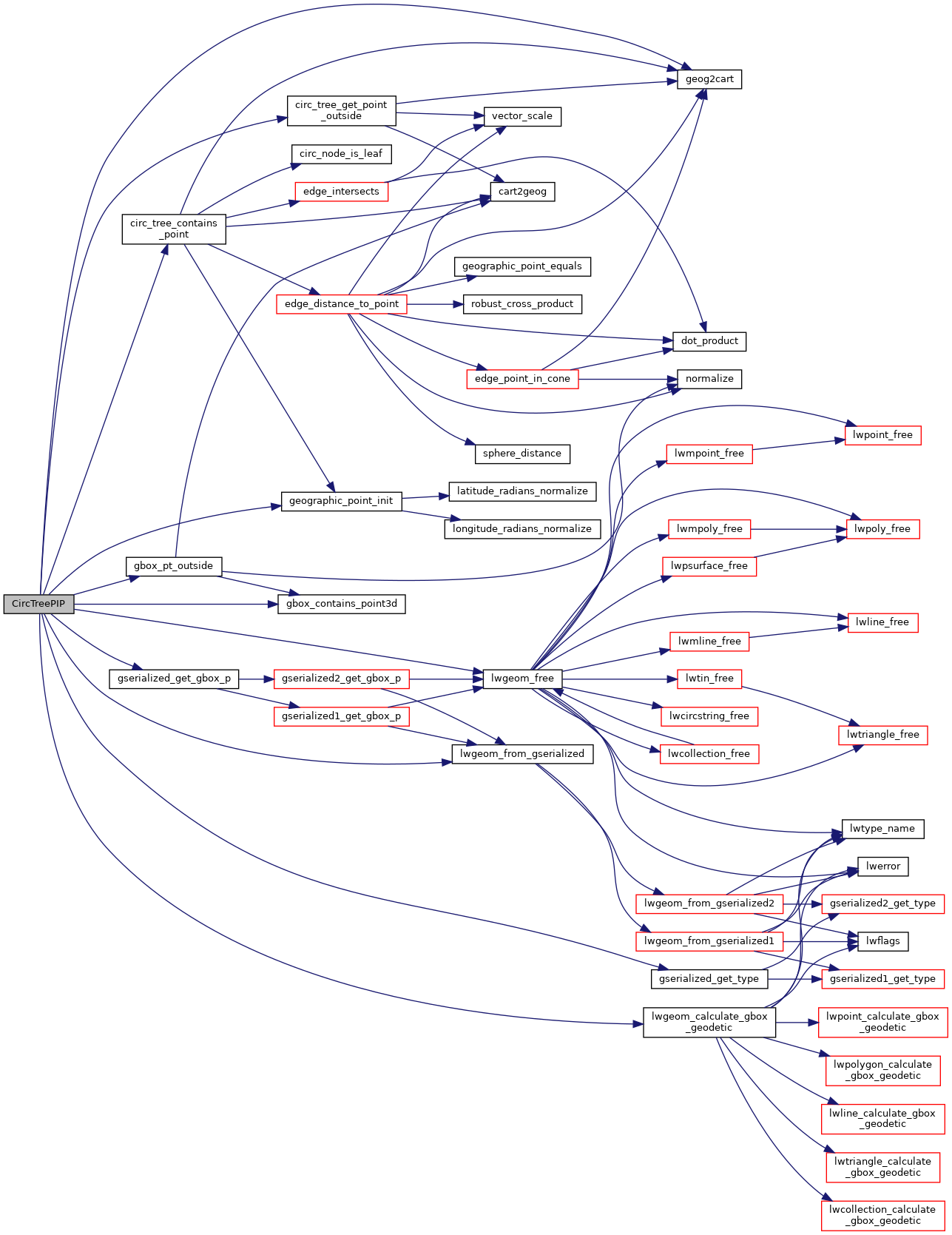
References circ_tree_contains_point(), circ_tree_get_point_outside(), gbox_contains_point3d(), gbox_pt_outside(), geog2cart(), geographic_point_init(), gserialized_get_gbox_p(), gserialized_get_type(), LW_FAILURE, LW_FALSE, lwgeom_calculate_gbox_geodetic(), lwgeom_free(), lwgeom_from_gserialized(), MULTIPOLYGONTYPE, POLYGONTYPE, POINT2D::x, POINT4D::x, POINT2D::y, and POINT4D::y.
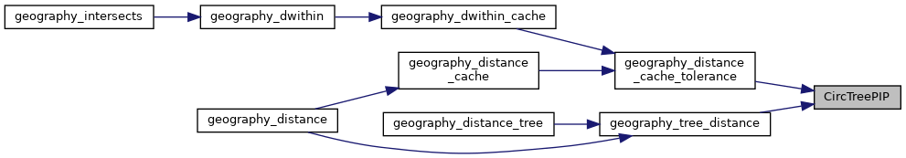
Referenced by geography_distance_cache_tolerance(), and geography_tree_distance().
Here is the call graph for this function:
Here is the caller graph for this function: