Loading...
Searching...
No Matches
◆ rt_raster_fully_within_distance()
| rt_errorstate rt_raster_fully_within_distance | ( | rt_raster | rast1, |
| int | nband1, | ||
| rt_raster | rast2, | ||
| int | nband2, | ||
| double | distance, | ||
| int * | dfwithin | ||
| ) |
Return ES_ERROR if error occurred in function.
Parameter dfwithin returns non-zero if rast1 is fully within the specified distance of rast2
- Parameters
-
rast1 : the first raster whose band will be tested nband1 : the 0-based band of raster rast1 to use if value is less than zero, bands are ignored. if nband1 gte zero, nband2 must be gte zero rast2 : the second raster whose band will be tested nband2 : the 0-based band of raster rast2 to use if value is less than zero, bands are ignored if nband2 gte zero, nband1 must be gte zero dfwithin : non-zero value if rast1 is fully within the specified distance of rast2
- Returns
- ES_NONE if success, ES_ERROR if error
Definition at line 555 of file rt_spatial_relationship.c.
560 {
561 LWMPOLY *surface = NULL;
562 LWGEOM *surface1 = NULL;
563 LWGEOM *surface2 = NULL;
564 double maxdist = 0;
565
567
568 assert(NULL != rast1);
569 assert(NULL != rast2);
570 assert(NULL != dfwithin);
571
572 if (nband1 < 0 && nband2 < 0) {
573 nband1 = -1;
574 nband2 = -1;
575 }
576 else {
577 assert(nband1 >= 0 && nband1 < rt_raster_get_num_bands(rast1));
578 assert(nband2 >= 0 && nband2 < rt_raster_get_num_bands(rast2));
579 }
580
581 /* initialize to zero, false result */
582 *dfwithin = 0;
583
584 /* same srid */
588 }
589
590 /* distance cannot be less than zero */
594 }
595
596 /* get LWMPOLY of each band */
598 rterror("rt_raster_fully_within_distance: Could not get surface of the specified band from the first raster");
600 }
601 surface1 = lwmpoly_as_lwgeom(surface);
602
604 rterror("rt_raster_fully_within_distance: Could not get surface of the specified band from the second raster");
605 lwgeom_free(surface1);
607 }
608 surface2 = lwmpoly_as_lwgeom(surface);
609
610 /* either surface is NULL, test is false */
611 if (surface1 == NULL || surface2 == NULL) {
615 }
616
617 /* get the maximum distance between the two surfaces */
619
620 lwgeom_free(surface1);
621 lwgeom_free(surface2);
622
623 /* if distance >= maxdist, true */
625 *dfwithin = 1;
626
628
630}
double lwgeom_maxdistance2d_tolerance(const LWGEOM *lw1, const LWGEOM *lw2, double tolerance)
Function handling max distance calculations and dfullywithin calculations.
Definition measures.c:192
void rterror(const char *fmt,...) __attribute__((format(printf
Wrappers used for reporting errors and info.
rt_errorstate rt_raster_surface(rt_raster raster, int nband, LWMPOLY **surface)
Get a raster as a surface (multipolygon).
Definition rt_geometry.c:356
Definition liblwgeom.h:457
Definition liblwgeom.h:559
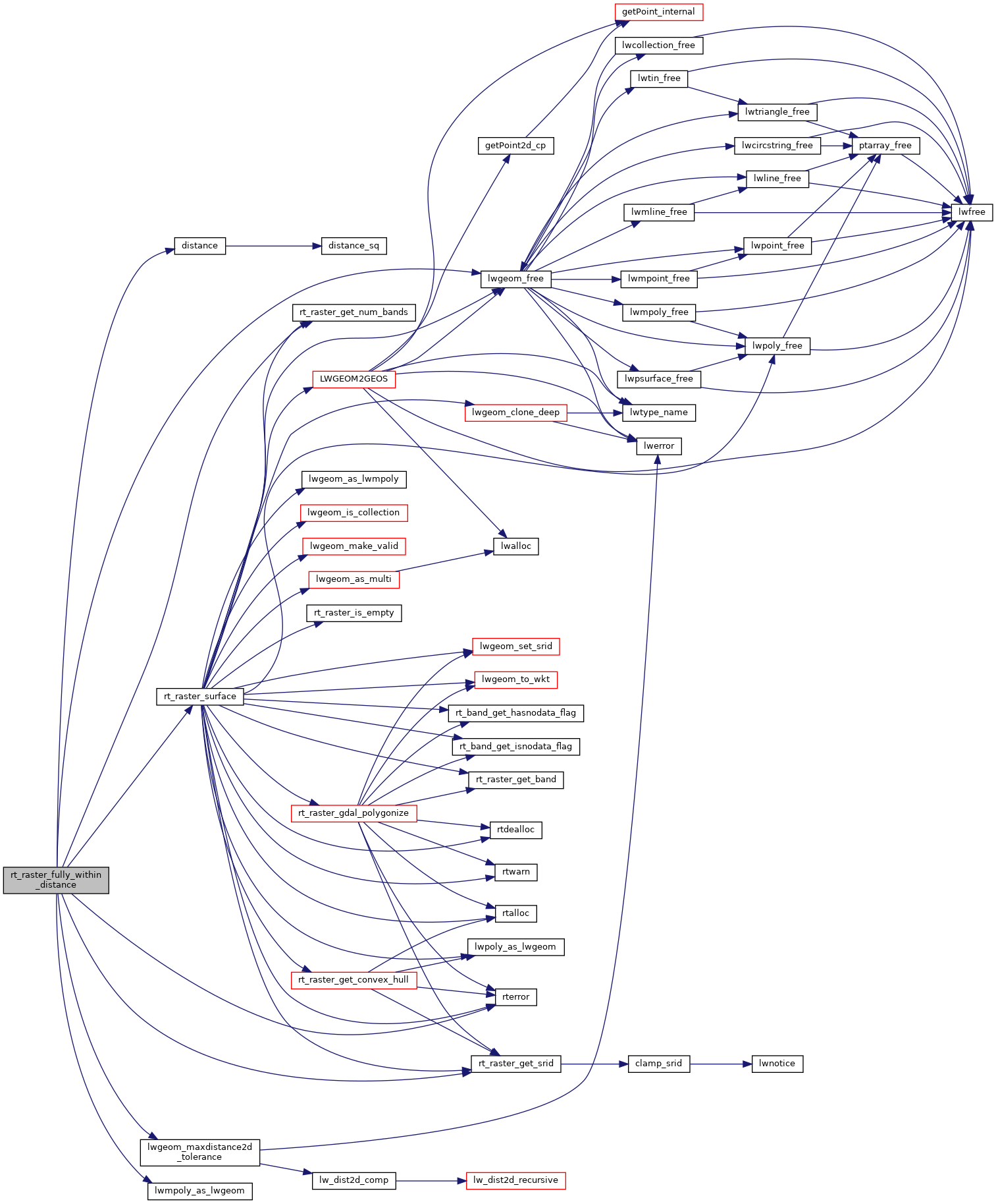
References distance(), ES_ERROR, ES_NONE, FLT_EQ, lwgeom_free(), lwgeom_maxdistance2d_tolerance(), lwmpoly_as_lwgeom(), RASTER_DEBUG, RASTER_DEBUGF, rt_raster_get_num_bands(), rt_raster_get_srid(), rt_raster_surface(), and rterror().
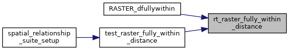
Referenced by RASTER_dfullywithin(), and test_raster_fully_within_distance().
Here is the call graph for this function:
Here is the caller graph for this function: