Loading...
Searching...
No Matches
◆ lwpoly_from_gserialized1_buffer()
|
static |
Definition at line 1227 of file gserialized1.c.
1228{
1229 uint8_t *start_ptr = data_ptr;
1230 LWPOLY *poly;
1231 uint8_t *ordinate_ptr;
1232 uint32_t nrings = 0;
1233 uint32_t i = 0;
1234
1235 assert(data_ptr);
1236
1239 poly->bbox = NULL;
1242
1243 data_ptr += 4; /* Skip past the polygontype. */
1245 poly->nrings = nrings;
1247 data_ptr += 4; /* Skip past the nrings. */
1248
1249 ordinate_ptr = data_ptr; /* Start the ordinate pointer. */
1250 if ( nrings > 0)
1251 {
1253 poly->maxrings = nrings;
1254 ordinate_ptr += nrings * 4; /* Move past all the npoints values. */
1255 if ( nrings % 2 ) /* If there is padding, move past that too. */
1256 ordinate_ptr += 4;
1257 }
1258 else /* Empty polygon */
1259 {
1260 poly->rings = NULL;
1261 poly->maxrings = 0;
1262 }
1263
1264 for ( i = 0; i < nrings; i++ )
1265 {
1266 uint32_t npoints = 0;
1267
1268 /* Read in the number of points. */
1269 npoints = gserialized1_get_uint32_t(data_ptr);
1270 data_ptr += 4;
1271
1272 /* Make a point array for the ring, and move the ordinate pointer past the ring ordinates. */
1273 poly->rings[i] = ptarray_construct_reference_data(FLAGS_GET_Z(lwflags), FLAGS_GET_M(lwflags), npoints, ordinate_ptr);
1274
1276 }
1277
1278 if ( size )
1279 *size = ordinate_ptr - start_ptr;
1280
1281 return poly;
1282}
static uint32_t gserialized1_get_uint32_t(const uint8_t *loc)
Definition gserialized1.c:74
POINTARRAY * ptarray_construct_reference_data(char hasz, char hasm, uint32_t npoints, uint8_t *ptlist)
Construct a new POINTARRAY, referencing to the data from ptlist.
Definition ptarray.c:291
lwflags_t lwflags(int hasz, int hasm, int geodetic)
Construct a new flags bitmask.
Definition lwutil.c:477
Definition liblwgeom.h:517
Definition liblwgeom.h:426
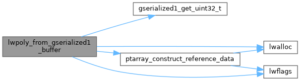
References LWPOLY::bbox, LWPOLY::flags, FLAGS_GET_M, FLAGS_GET_Z, FLAGS_NDIMS, gserialized1_get_uint32_t(), lwalloc(), LWDEBUGF, lwflags(), LWPOLY::maxrings, LWPOLY::nrings, POLYGONTYPE, ptarray_construct_reference_data(), LWPOLY::rings, LWPOLY::srid, SRID_UNKNOWN, and LWPOLY::type.
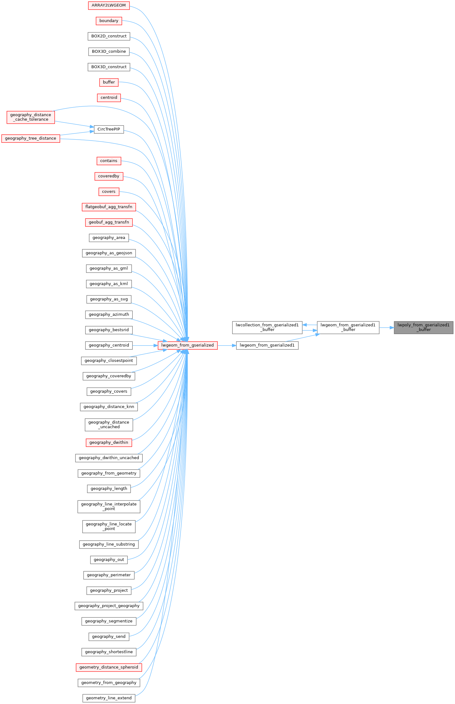
Referenced by lwgeom_from_gserialized1_buffer().
Here is the call graph for this function:
Here is the caller graph for this function: