Loading...
Searching...
No Matches
◆ test_lwpoint_to_latlon_default_format()
|
static |
Definition at line 66 of file cu_print.c.
67{
69 NULL,
70 "0\xC2\xB0"
71 "0'0.000\"N 0\xC2\xB0"
72 "0'0.000\"E");
74 "",
75 "12\xC2\xB0"
76 "20'44.412\"N 45\xC2\xB0"
77 "27'16.200\"E");
79 NULL,
80 "90\xC2\xB0"
81 "0'0.000\"N 180\xC2\xB0"
82 "0'0.000\"E");
84 "",
85 "89\xC2\xB0"
86 "0'0.000\"N 1\xC2\xB0"
87 "0'0.000\"E");
89 NULL,
90 "89\xC2\xB0"
91 "59'59.640\"N 0\xC2\xB0"
92 "0'0.360\"E");
94 "",
95 "12\xC2\xB0"
96 "20'44.412\"S 45\xC2\xB0"
97 "27'16.200\"E");
99 NULL,
100 "90\xC2\xB0"
101 "0'0.000\"S 180\xC2\xB0"
102 "0'0.000\"E");
104 "",
105 "89\xC2\xB0"
106 "0'0.000\"S 1\xC2\xB0"
107 "0'0.000\"E");
109 NULL,
110 "89\xC2\xB0"
111 "59'59.640\"S 0\xC2\xB0"
112 "0'0.360\"E");
114 "",
115 "12\xC2\xB0"
116 "20'44.412\"N 45\xC2\xB0"
117 "27'16.200\"W");
119 NULL,
120 "90\xC2\xB0"
121 "0'0.000\"N 180\xC2\xB0"
122 "0'0.000\"W");
124 "",
125 "89\xC2\xB0"
126 "0'0.000\"N 1\xC2\xB0"
127 "0'0.000\"W");
129 NULL,
130 "89\xC2\xB0"
131 "59'59.640\"N 0\xC2\xB0"
132 "0'0.360\"W");
134 "",
135 "12\xC2\xB0"
136 "20'44.412\"S 45\xC2\xB0"
137 "27'16.200\"W");
139 NULL,
140 "90\xC2\xB0"
141 "0'0.000\"S 180\xC2\xB0"
142 "0'0.000\"W");
144 "",
145 "89\xC2\xB0"
146 "0'0.000\"S 1\xC2\xB0"
147 "0'0.000\"W");
149 NULL,
150 "89\xC2\xB0"
151 "59'59.640\"S 0\xC2\xB0"
152 "0'0.360\"W");
154 "",
155 "12\xC2\xB0"
156 "39'4.356\"N 31\xC2\xB0"
157 "7'24.442\"W");
158 /* See https://trac.osgeo.org/postgis/ticket/3688 */
160 NULL,
161 "76\xC2\xB0"
162 "36'0.000\"S 76\xC2\xB0"
163 "36'0.000\"E");
164}
static void test_lwpoint_to_latlon_assert_format(char *point_wkt, const char *format, const char *expected)
Definition cu_print.c:21
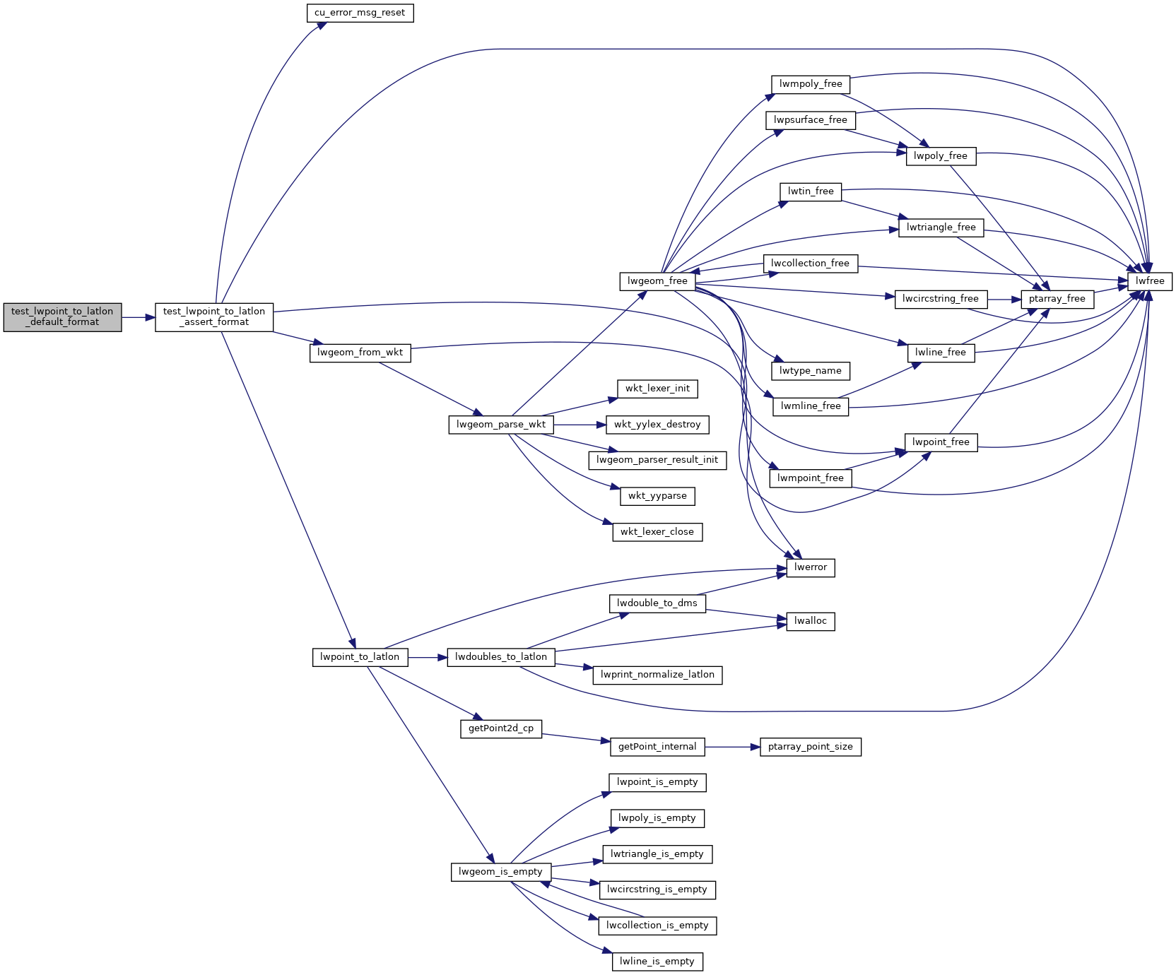
References test_lwpoint_to_latlon_assert_format().
Referenced by print_suite_setup().
Here is the call graph for this function:
Here is the caller graph for this function: