Loading...
Searching...
No Matches
◆ test_raster_get_pixel_bilinear()
|
static |
Definition at line 579 of file cu_raster_geometry.c.
579 {
580 uint32_t width = 2;
581 uint32_t height = 2;
582 double ul_x = 0.0;
583 double ul_y = 0.0;
584 double scale_x = 1;
585 double scale_y = 1;
586 int err;
587
588 double xr, yr;
589 double igt[6];
590
592 rt_raster_set_offsets(rast, ul_x, ul_y);
593 rt_raster_set_scale(rast, scale_x, scale_y);
594
595 double xw = 1.5, yw = 0.5;
596
598 rast, // rt_raster raster,
600 1.0, // double initialvalue,
601 1, // uint32_t hasnodata,
602 -99.0, // double nodatavalue,
603 0 // int index
604 );
605
607 rast,
608 xw, yw,
609 &xr, &yr, igt);
610
611 printf("xw = %g, yw = %g, xr = %g, yr = %g\n", xw, yw, xr, yr);
612
613 // err = rt_raster_cell_to_geopoint(
614 // rast,
615 // xr, yr,
616 // &xw, &yw, igt);
617
618 // printf("xw = %g, yw = %g, xr = %g, yr = %g\n", xw, yw, xr, yr);
619
621 rt_band_set_pixel(band, 0, 0, 10.0, NULL);
622 rt_band_set_pixel(band, 0, 1, 10.0, NULL);
623 rt_band_set_pixel(band, 1, 0, 20.0, NULL);
624 rt_band_set_pixel(band, 1, 1, 40.0, NULL);
625
626
628 int nodata = 0;
629 err = rt_band_get_pixel_bilinear(
630 band,
631 xw, yw, // double xw, double yw,
632 &value, &nodata // double *r_value, int *r_nodata)
633 );
634
635 CU_ASSERT_EQUAL(err, ES_NONE);
636 // printf("xw = %g, yw = %g, value = %g, nodata = %d\n", xr, yr, value, nodata);
637
638
639}
int rt_raster_generate_new_band(rt_raster raster, rt_pixtype pixtype, double initialvalue, uint32_t hasnodata, double nodatavalue, int index)
Generate a new inline band and add it to a raster.
Definition rt_raster.c:489
void rt_raster_set_scale(rt_raster raster, double scaleX, double scaleY)
Set scale in projection units.
Definition rt_raster.c:141
rt_errorstate rt_raster_geopoint_to_rasterpoint(rt_raster raster, double xw, double yw, double *xr, double *yr, double *igt)
Convert an xw,yw map point to a xr,yr raster point.
Definition rt_raster.c:730
rt_raster rt_raster_new(uint32_t width, uint32_t height)
Construct a raster with given dimensions.
Definition rt_raster.c:52
rt_errorstate rt_band_set_pixel(rt_band band, int x, int y, double val, int *converted)
Set single pixel's value.
Definition rt_band.c:1140
rt_errorstate rt_band_get_pixel_bilinear(rt_band band, double xr, double yr, double *r_value, int *r_nodata)
Retrieve a point value from the raster using a world coordinate and bilinear interpolation.
Definition rt_band.c:1435
void rt_raster_set_offsets(rt_raster raster, double x, double y)
Set insertion points in projection units.
Definition rt_raster.c:203
rt_band rt_raster_get_band(rt_raster raster, int bandNum)
Return Nth band, or NULL if unavailable.
Definition rt_raster.c:385
Definition librtcore.h:2515
Definition librtcore.h:2486
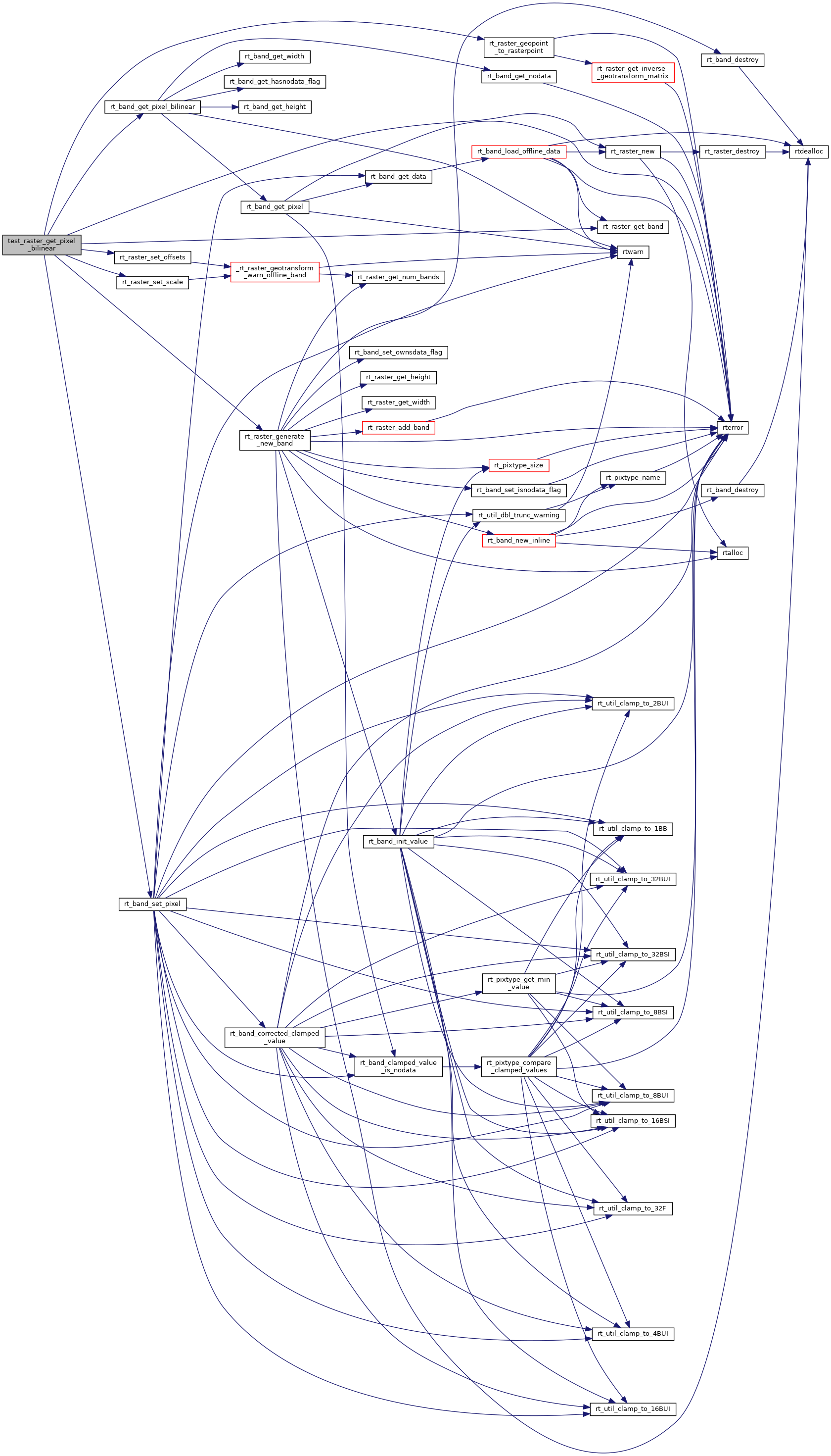
References ES_NONE, PT_64BF, rt_band_get_pixel_bilinear(), rt_band_set_pixel(), rt_raster_generate_new_band(), rt_raster_geopoint_to_rasterpoint(), rt_raster_get_band(), rt_raster_new(), rt_raster_set_offsets(), and rt_raster_set_scale().
Referenced by raster_geometry_suite_setup().
Here is the call graph for this function:
Here is the caller graph for this function: