Loading...
Searching...
No Matches
◆ coveredby()
| Datum coveredby | ( | PG_FUNCTION_ARGS | ) |
Definition at line 806 of file lwgeom_geos_predicates.c.
807{
808 SHARED_GSERIALIZED *shared_geom1 = ToastCacheGetGeometry(fcinfo, 0);
809 SHARED_GSERIALIZED *shared_geom2 = ToastCacheGetGeometry(fcinfo, 1);
813 GBOX box1, box2;
814 PrepGeomCache *prep_cache;
815
816 gserialized_error_if_srid_mismatch(geom1, geom2, __func__);
817
818 POSTGIS_DEBUGF(3, "CoveredBy: type1: %d, type2: %d", gserialized_get_type(geom1), gserialized_get_type(geom2));
819
820 /* A.CoveredBy(Empty) == FALSE */
822 PG_RETURN_BOOL(false);
823
824 /*
825 * Short-circuit 1: if geom1 bounding box is not completely inside
826 * geom2 bounding box we can return FALSE.
827 */
829 gserialized_get_gbox_p(geom2, &box2) )
830 {
832 {
833 PG_RETURN_BOOL(false);
834 }
835 }
836 /*
837 * Short-circuit 2: if geom1 is a point and geom2 is a polygon
838 * call the point-in-polygon function.
839 */
841 {
846 lwgeom_free(lwpt);
847 PG_RETURN_BOOL(result);
848 }
849
850 initGEOS(lwpgnotice, lwgeom_geos_error);
851
852 prep_cache = GetPrepGeomCache(fcinfo, shared_geom1, 0);
854 {
855 GEOSGeometry *g1 = POSTGIS2GEOS(geom2);
858 GEOSGeom_destroy(g1);
859 }
860 else
861 {
862 GEOSGeometry *g1, *g2;
863 g1 = POSTGIS2GEOS(geom1);
865
866 g2 = POSTGIS2GEOS(geom2);
867 if (!g2)
868 {
869 GEOSGeom_destroy(g1);
871 }
872
873 result = GEOSCoveredBy(g1, g2);
874 GEOSGeom_destroy(g1);
875 GEOSGeom_destroy(g2);
876 }
877
879
880 PG_RETURN_BOOL(result);
881}
int gbox_within_2d(const GBOX *g1, const GBOX *g2)
Return LW_TRUE if the first GBOX is within the second on the 2d plane, LW_FALSE otherwise.
Definition gbox.c:351
void gserialized_error_if_srid_mismatch(const GSERIALIZED *g1, const GSERIALIZED *g2, const char *funcname)
Definition gserialized.c:432
LWGEOM * lwgeom_from_gserialized(const GSERIALIZED *g)
Allocate a new LWGEOM from a GSERIALIZED.
Definition gserialized.c:268
int gserialized_get_gbox_p(const GSERIALIZED *g, GBOX *gbox)
Read the box from the GSERIALIZED or calculate it if necessary.
Definition gserialized.c:94
int gserialized_is_empty(const GSERIALIZED *g)
Check if a GSERIALIZED is empty without deserializing first.
Definition gserialized.c:181
uint32_t gserialized_get_type(const GSERIALIZED *g)
Extract the geometry type from the serialized form (it hides in the anonymous data area,...
Definition gserialized.c:118
PrepGeomCache * GetPrepGeomCache(FunctionCallInfo fcinfo, SHARED_GSERIALIZED *g1, SHARED_GSERIALIZED *g2)
Given a couple potential geometries and a function call context, return a prepared structure for one ...
Definition lwgeom_geos_prepared.c:369
IntervalTree * GetIntervalTree(FunctionCallInfo fcinfo, SHARED_GSERIALIZED *g1)
Checks for a cache hit against the provided geometry and returns a pre-built index structure (RTREE_P...
Definition lwgeom_itree.c:114
bool itree_pip_covers(const IntervalTree *itree, const LWGEOM *lwpoints)
Definition lwgeom_itree.c:185
GEOSGeometry * POSTGIS2GEOS(const GSERIALIZED *pglwgeom)
Definition postgis/lwgeom_geos.c:1823
Definition liblwgeom.h:352
Definition liblwgeom.h:443
Definition intervaltree.h:57
Definition liblwgeom.h:457
const GEOSPreparedGeometry * prepared_geom
Definition lwgeom_geos_prepared.h:54
Definition lwgeom_geos_prepared.h:50
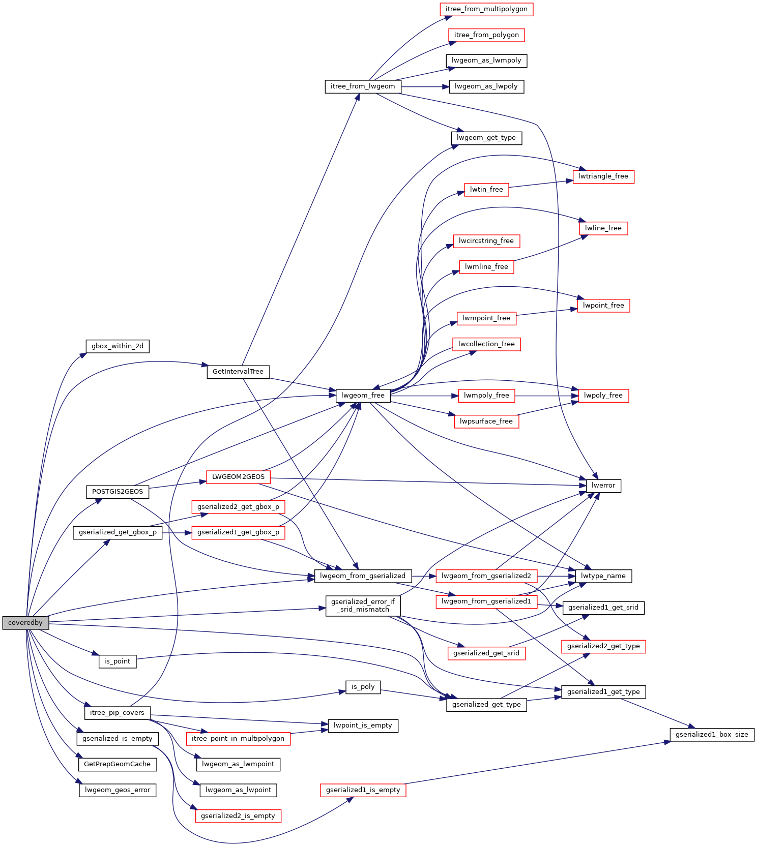
References gbox_within_2d(), PrepGeomCache::gcache, GetIntervalTree(), GetPrepGeomCache(), gserialized_error_if_srid_mismatch(), gserialized_get_gbox_p(), gserialized_get_type(), gserialized_is_empty(), HANDLE_GEOS_ERROR, is_point(), is_poly(), itree_pip_covers(), lwgeom_free(), lwgeom_from_gserialized(), lwgeom_geos_error(), POSTGIS2GEOS(), PrepGeomCache::prepared_geom, and result.
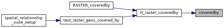
Referenced by rt_raster_coveredby().
Here is the call graph for this function:
Here is the caller graph for this function: