Loading...
Searching...
No Matches
◆ asx3d3_multi_sb()
|
static |
Use Polypoint2D instead
Definition at line 282 of file lwout_x3d.c.
283{
284 char *x3dtype;
285 uint32_t i;
286 int dimension=2;
287
289 LWGEOM *subgeom;
290 x3dtype="";
291
292
294 {
296 x3dtype = "PointSet";
297 if ( dimension == 2 ){
298 x3dtype = "Polypoint2D";
300 }
301 else {
303 }
304 break;
306 x3dtype = "IndexedLineSet";
310 break;
312 x3dtype = "IndexedFaceSet";
316 break;
317 default:
319 return 0;
320 }
321 if (dimension == 3){
323 stringbuffer_aprintf(sb, "<GeoCoordinate geoSystem='\"GD\" \"WE\" \"%s\"' point='", ((opts & LW_X3D_FLIP_XY) ? "latitude_first" : "longitude_first") );
324 else
326 }
327
329 {
330 subgeom = col->geoms[i];
332 {
335 }
337 {
340 }
342 {
345 }
346 }
347
348 /* Close outmost tag */
349 if (dimension == 3){
351 }
354
355}
const char * lwtype_name(uint8_t type)
Return the type name string associated with a type number (e.g.
Definition lwutil.c:216
void void lwerror(const char *fmt,...) __attribute__((format(printf
Write a notice out to the error handler.
static int asx3d3_point_sb(const LWPOINT *point, int precision, int opts, __attribute__((__unused__)) const char *defid, stringbuffer_t *sb)
Definition lwout_x3d.c:113
static int asx3d3_poly_sb(const LWPOLY *poly, int precision, int opts, __attribute__((__unused__)) int is_patch, __attribute__((__unused__)) const char *defid, stringbuffer_t *sb)
Compute the X3D coordinates of the polygon and add to string buffer.
Definition lwout_x3d.c:251
static int asx3d3_mpoly_coordindex_sb(const LWMPOLY *psur, stringbuffer_t *sb)
Definition lwout_x3d.c:177
static int asx3d3_line_coords_sb(const LWLINE *line, int precision, int opts, stringbuffer_t *sb)
Definition lwout_x3d.c:124
static int asx3d3_mline_coordindex_sb(const LWMLINE *mgeom, stringbuffer_t *sb)
Definition lwout_x3d.c:132
int stringbuffer_aprintf(stringbuffer_t *s, const char *fmt,...)
Appends a formatted string to the current string buffer, using the format and argument list provided.
Definition stringbuffer.c:254
Definition liblwgeom.h:457
Definition liblwgeom.h:481
Definition liblwgeom.h:545
Definition liblwgeom.h:559
Definition liblwgeom.h:469
Definition liblwgeom.h:517
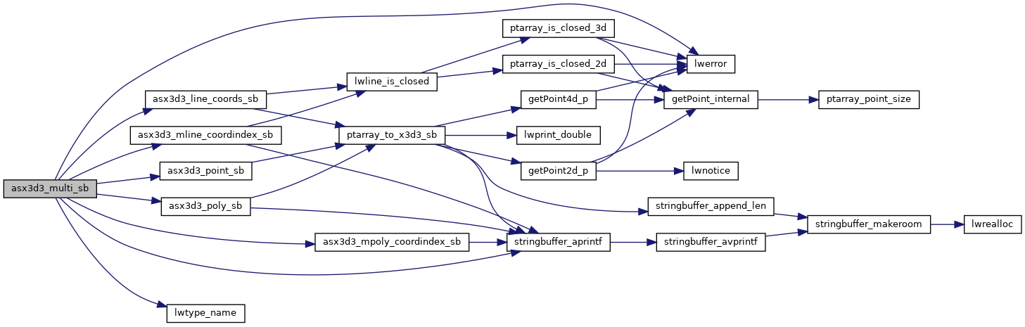
References asx3d3_line_coords_sb(), asx3d3_mline_coordindex_sb(), asx3d3_mpoly_coordindex_sb(), asx3d3_point_sb(), asx3d3_poly_sb(), LWCOLLECTION::flags, FLAGS_GET_Z, LWCOLLECTION::geoms, LINETYPE, LW_SUCCESS, LW_X3D_FLIP_XY, lwerror(), lwtype_name(), MULTILINETYPE, MULTIPOINTTYPE, MULTIPOLYGONTYPE, LWCOLLECTION::ngeoms, POINTTYPE, POLYGONTYPE, precision, stringbuffer_aprintf(), LWGEOM::type, LWMLINE::type, LWCOLLECTION::type, and X3D_USE_GEOCOORDS.
Referenced by asx3d3_collection_sb(), and lwgeom_to_x3d3_sb().
Here is the call graph for this function:
Here is the caller graph for this function: