Loading...
Searching...
No Matches
◆ LWGEOM_asGeoJson()
|
extern |
Definition at line 200 of file lwgeom_export.c.
201{
202 GSERIALIZED *geom;
203 LWGEOM *lwgeom;
209 const char *srs = NULL;
210 int32_t srid;
211
212 /* Get the geometry */
213 if (PG_ARGISNULL(0))
214 PG_RETURN_NULL();
215
216 geom = PG_GETARG_GSERIALIZED_P(0);
217 srid = gserialized_get_srid(geom);
218
219 /* Retrieve precision if any (default is max) */
220 if ( PG_NARGS() > 1 && !PG_ARGISNULL(1) )
221 {
222 precision = PG_GETARG_INT32(1);
223 }
224
225 /* Retrieve output option
226 * 0 = without option
227 * 1 = bbox
228 * 2 = short crs
229 * 4 = long crs
230 * 8 = guess if CRS is needed (default)
231 */
232 if (PG_NARGS() > 2 && !PG_ARGISNULL(2))
233 {
234 int option = PG_GETARG_INT32(2);
239 }
240 else
241 output_guess_short_srid = LW_TRUE;
242
244 output_short_crs = LW_TRUE;
245
247 {
248 srs = GetSRSCacheBySRID(fcinfo, srid, !output_long_crs);
249
250 if (!srs)
251 {
252 elog(ERROR, "SRID %i unknown in spatial_ref_sys table", srid);
253 PG_RETURN_NULL();
254 }
255 }
256
257 lwgeom = lwgeom_from_gserialized(geom);
259}
int32_t gserialized_get_srid(const GSERIALIZED *g)
Extract the SRID from the serialized form (it is packed into three bytes so this is a handy function)...
Definition gserialized.c:155
LWGEOM * lwgeom_from_gserialized(const GSERIALIZED *g)
Allocate a new LWGEOM from a GSERIALIZED.
Definition gserialized.c:268
lwvarlena_t * lwgeom_to_geojson(const LWGEOM *geo, const char *srs, int precision, int has_bbox)
Takes a GEOMETRY and returns a GeoJson representation.
Definition lwout_geojson.c:378
Definition liblwgeom.h:443
Definition liblwgeom.h:457
References gserialized_get_srid(), LW_FALSE, LW_TRUE, lwgeom_from_gserialized(), lwgeom_to_geojson(), OUT_DEFAULT_DECIMAL_DIGITS, precision, SRID_UNKNOWN, and WGS84_SRID.
Referenced by composite_to_geojson().
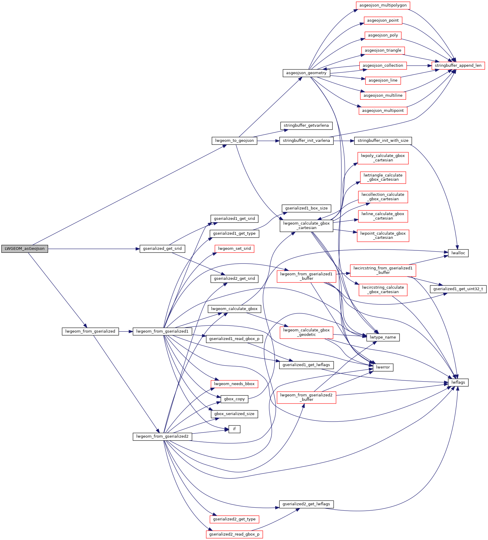
Here is the call graph for this function:
Here is the caller graph for this function:
