Loading...
Searching...
No Matches
◆ test_gbox_from_spherical_coordinates()
|
static |
Definition at line 224 of file cu_geodetic.c.
225{
226#if RANDOM_TEST
227 const double gtolerance = 0.000001;
229 int i;
230 double ll[64];
231 GBOX gbox;
232 GBOX gbox_slow;
233 int rndlat;
234 int rndlon;
235
236 POINTARRAY *pa;
237 LWGEOM *lwline;
238
239 ll[0] = -3.083333333333333333333333333333333;
240 ll[1] = 9.83333333333333333333333333333333;
241 ll[2] = 15.5;
242 ll[3] = -5.25;
243
244 pa = ptarray_construct_reference_data(0, 0, 2, (uint8_t*)ll);
245
248
249 srandomdev();
250
251 for ( i = 0; i < loops; i++ )
252 {
253 rndlat = (int)(90.0 - 180.0 * (double)random() / pow(2.0, 31.0));
254 rndlon = (int)(180.0 - 360.0 * (double)random() / pow(2.0, 31.0));
255 ll[0] = (double)rndlon;
256 ll[1] = (double)rndlat;
257
258 rndlat = (int)(90.0 - 180.0 * (double)random() / pow(2.0, 31.0));
259 rndlon = (int)(180.0 - 360.0 * (double)random() / pow(2.0, 31.0));
260 ll[2] = (double)rndlon;
261 ll[3] = (double)rndlat;
262
264 lwgeom_calculate_gbox_geodetic(lwline, &gbox);
266 lwgeom_calculate_gbox_geodetic(lwline, &gbox_slow);
268
269 if (
276 {
277 printf("\n-------\n");
278 printf("If you are seeing this, cut and paste it, it is a randomly generated test case!\n");
279 printf("LOOP: %d\n", i);
280 printf("SEGMENT (Lon Lat): (%.9g %.9g) (%.9g %.9g)\n", ll[0], ll[1], ll[2], ll[3]);
283 printf("-------\n\n");
284 CU_FAIL_FATAL(Slow (GOOD) and fast (CALC) box calculations returned different values!!);
285 }
286
287 }
288
289 lwgeom_free(lwline);
290#endif /* RANDOM_TEST */
291}
char * gbox_to_string(const GBOX *gbox)
Allocate a string representation of the GBOX, based on dimensionality of flags.
Definition gbox.c:404
POINTARRAY * ptarray_construct_reference_data(char hasz, char hasm, uint32_t npoints, uint8_t *ptlist)
Construct a new POINTARRAY, referencing to the data from ptlist.
Definition ptarray.c:291
int lwgeom_calculate_gbox_geodetic(const LWGEOM *geom, GBOX *gbox)
Calculate the geodetic bounding box for an LWGEOM.
Definition lwgeodetic.c:2876
LWLINE * lwline_construct(int32_t srid, GBOX *bbox, POINTARRAY *points)
Definition lwline.c:42
int gbox_geocentric_slow
For testing geodetic bounding box, we have a magic global variable.
Definition lwgeodetic.c:36
Definition liblwgeom.h:352
Definition liblwgeom.h:457
Definition liblwgeom.h:426
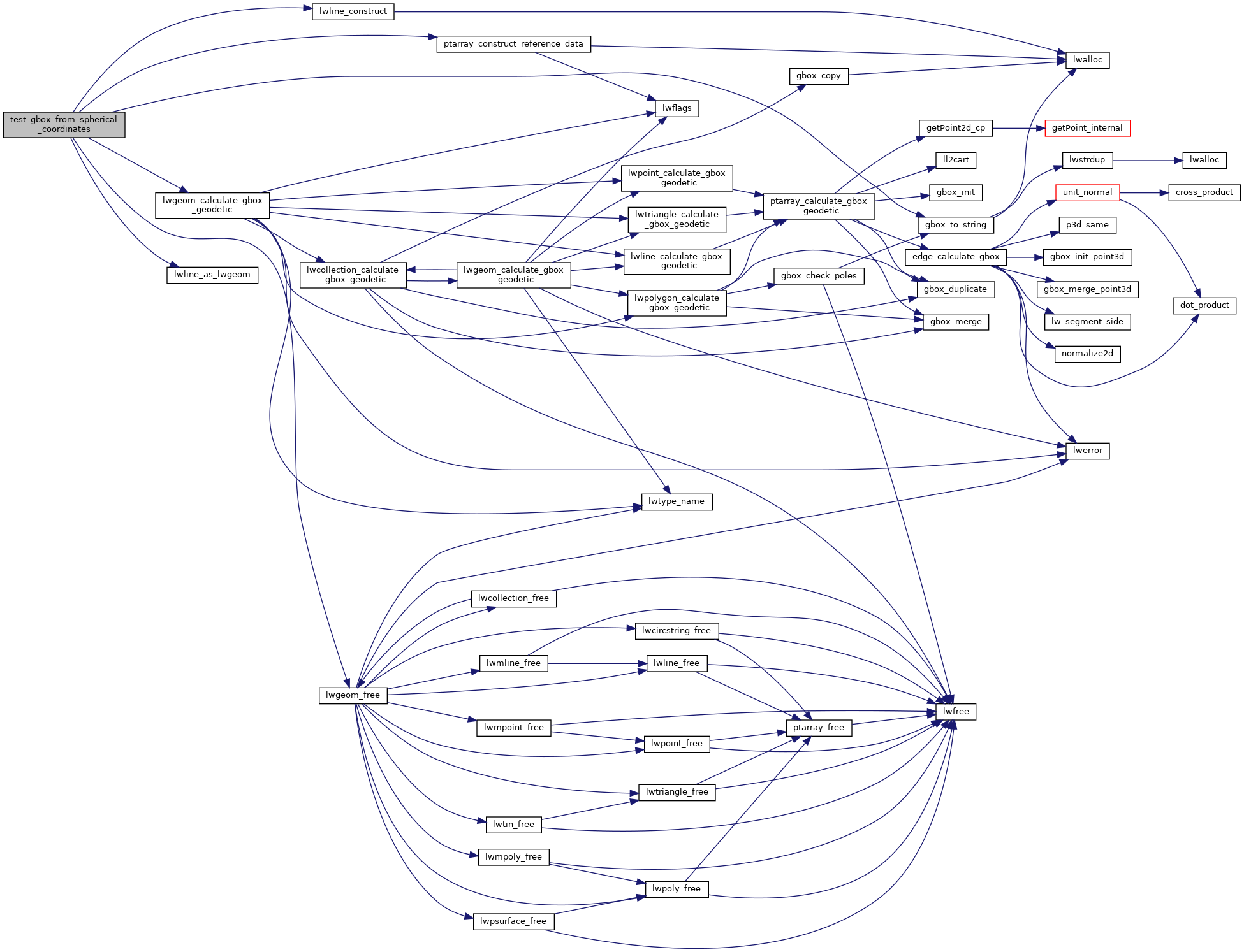
References LWGEOM::flags, FLAGS_SET_GEODETIC, gbox_geocentric_slow, gbox_to_string(), LW_FALSE, LW_TRUE, lwgeom_calculate_gbox_geodetic(), lwgeom_free(), lwline_as_lwgeom(), lwline_construct(), ptarray_construct_reference_data(), RANDOM_TEST, SRID_UNKNOWN, GBOX::xmax, GBOX::xmin, GBOX::ymax, GBOX::ymin, GBOX::zmax, and GBOX::zmin.
Referenced by geodetic_suite_setup().
Here is the call graph for this function:
Here is the caller graph for this function: