Loading...
Searching...
No Matches
◆ cart_to_lwpoint()
| LWPOINT * cart_to_lwpoint | ( | const double_t | x_sum, |
| const double_t | y_sum, | ||
| const double_t | z_sum, | ||
| const double_t | weight_sum, | ||
| const int32_t | srid | ||
| ) |
Definition at line 233 of file geography_centroid.c.
238{
239 double_t x = x_sum / weight_sum;
240 double_t y = y_sum / weight_sum;
241 double_t z = z_sum / weight_sum;
242
243 /* x-y-z vector length */
244 double_t r = sqrtl(powl(x, 2) + powl(y, 2) + powl(z, 2));
245
246 double_t lon = atan2l(y, x) * 180 / M_PI;
247 double_t lat = acosl(z / r) * 180 / M_PI - 90;
248
250}
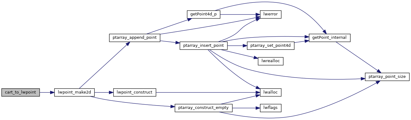
References lwpoint_make2d(), and r.
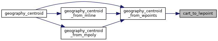
Referenced by geography_centroid_from_wpoints().
Here is the call graph for this function:
Here is the caller graph for this function: