Loading...
Searching...
No Matches
◆ geography_valid_type()
| void geography_valid_type | ( | uint8_t | type | ) |
The geography type only support POINT, LINESTRING, POLYGON, MULTI* variants of same, and GEOMETRYCOLLECTION.
If the input type is not one of those, shut down the query.
Definition at line 70 of file geography_inout.c.
71{
72 if ( ! (
73 type == POINTTYPE ||
74 type == LINETYPE ||
75 type == POLYGONTYPE ||
76 type == MULTIPOINTTYPE ||
77 type == MULTILINETYPE ||
78 type == MULTIPOLYGONTYPE ||
79 type == COLLECTIONTYPE
80 ) )
81 {
82 ereport(ERROR, (
83 errcode(ERRCODE_INVALID_PARAMETER_VALUE),
85
86 }
87}
const char * lwtype_name(uint8_t type)
Return the type name string associated with a type number (e.g.
Definition lwutil.c:216
References COLLECTIONTYPE, LINETYPE, lwtype_name(), MULTILINETYPE, MULTIPOINTTYPE, MULTIPOLYGONTYPE, POINTTYPE, and POLYGONTYPE.
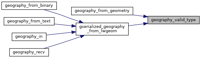
Referenced by geography_from_geometry(), and gserialized_geography_from_lwgeom().
Here is the call graph for this function:
Here is the caller graph for this function: