Loading...
Searching...
No Matches
◆ optimistic_overlap()
| Datum optimistic_overlap | ( | PG_FUNCTION_ARGS | ) |
Definition at line 2821 of file lwgeom_functions_basic.c.
2822{
2823 GSERIALIZED *pg_geom1 = PG_GETARG_GSERIALIZED_P(0);
2824 GSERIALIZED *pg_geom2 = PG_GETARG_GSERIALIZED_P(1);
2825 double dist = PG_GETARG_FLOAT8(2);
2826 GBOX g1_bvol;
2827 double calc_dist;
2830 gserialized_error_if_srid_mismatch(pg_geom1, pg_geom2, __func__);
2831
2833 {
2834 elog(ERROR, "optimistic_overlap: first arg isn't a polygon\n");
2835 PG_RETURN_NULL();
2836 }
2837
2839 {
2840 elog(ERROR, "optimistic_overlap: 2nd arg isn't a [multi-]polygon\n");
2841 PG_RETURN_NULL();
2842 }
2843
2844 /*bbox check */
2845 gserialized_get_gbox_p(pg_geom1, &g1_bvol);
2846
2851
2854 {
2855 PG_RETURN_BOOL(false); /*bbox not overlap */
2856 }
2857
2858 /*
2859 * compute distances
2860 * should be a fast calc if they actually do intersect
2861 */
2862 calc_dist =
2863 DatumGetFloat8(DirectFunctionCall2(ST_Distance, PointerGetDatum(pg_geom1), PointerGetDatum(pg_geom2)));
2864
2865 PG_RETURN_BOOL(calc_dist < dist);
2866}
void gserialized_error_if_srid_mismatch(const GSERIALIZED *g1, const GSERIALIZED *g2, const char *funcname)
Definition gserialized.c:432
LWGEOM * lwgeom_from_gserialized(const GSERIALIZED *g)
Allocate a new LWGEOM from a GSERIALIZED.
Definition gserialized.c:268
int gserialized_get_gbox_p(const GSERIALIZED *g, GBOX *gbox)
Read the box from the GSERIALIZED or calculate it if necessary.
Definition gserialized.c:94
Definition liblwgeom.h:352
Definition liblwgeom.h:443
Definition liblwgeom.h:457
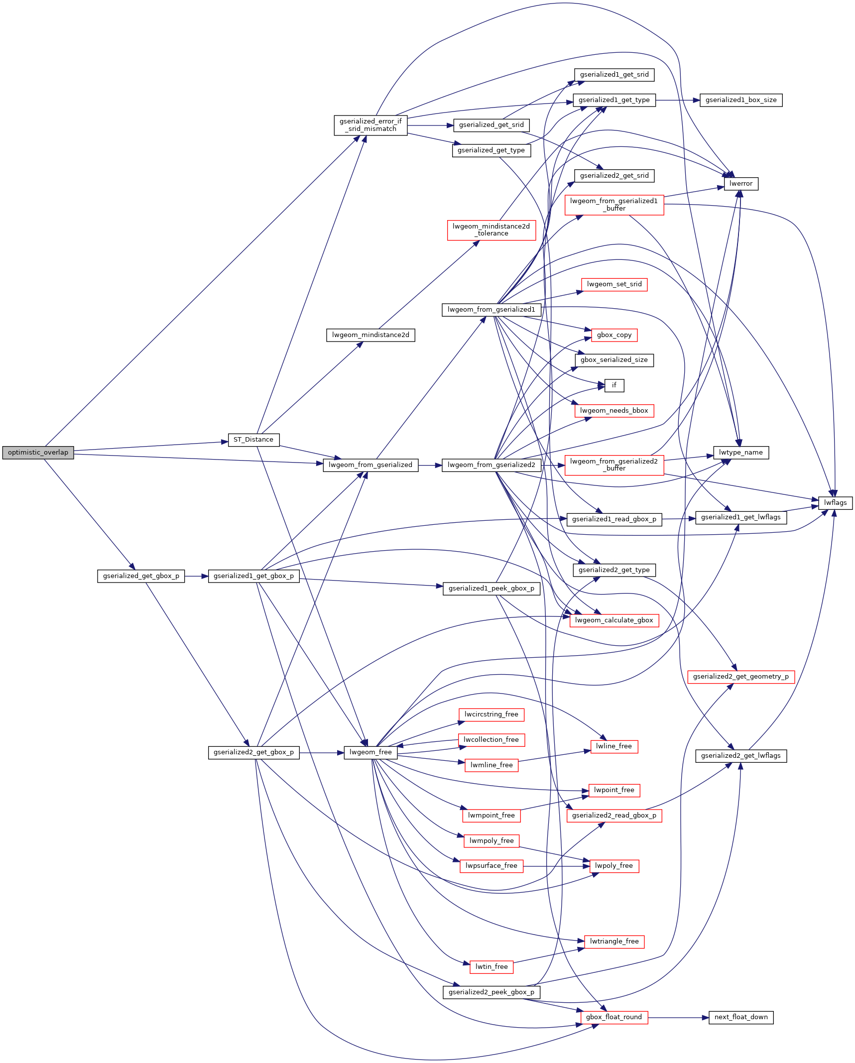
References LWGEOM::bbox, gserialized_error_if_srid_mismatch(), gserialized_get_gbox_p(), lwgeom_from_gserialized(), MULTIPOLYGONTYPE, POLYGONTYPE, ST_Distance(), LWGEOM::type, GBOX::xmax, GBOX::xmin, GBOX::ymax, and GBOX::ymin.
Here is the call graph for this function: