Loading...
Searching...
No Matches
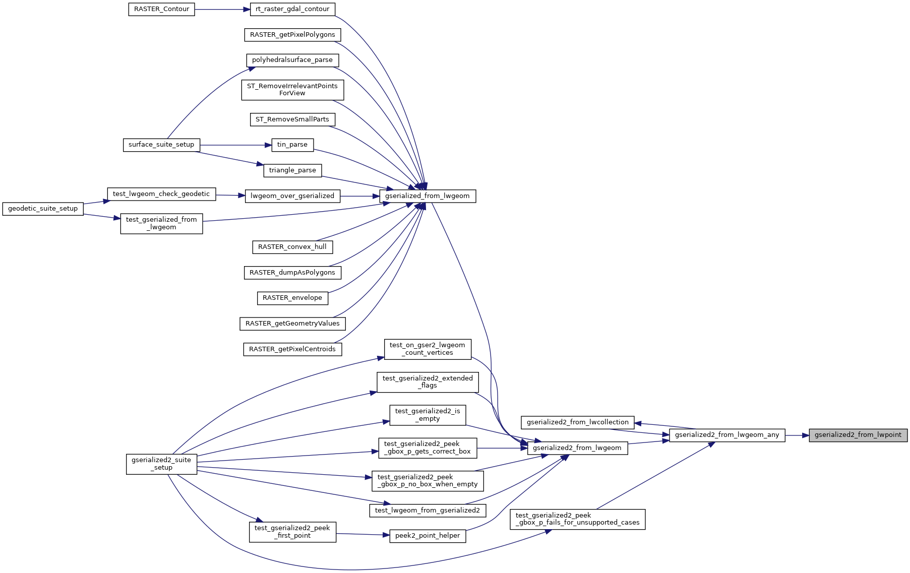
◆ gserialized2_from_lwpoint()
|
static |
Definition at line 804 of file gserialized2.c.
805{
806 uint8_t *loc;
809
810 assert(point);
811 assert(buf);
812
815
817
818 loc = buf;
819
820 /* Write in the type. */
821 memcpy(loc, &type, sizeof(uint32_t));
822 loc += sizeof(uint32_t);
823 /* Write in the number of points (0 => empty). */
825 loc += sizeof(uint32_t);
826
827 /* Copy in the ordinates. */
829 {
831 loc += ptsize;
832 }
833
834 return (size_t)(loc - buf);
835}
void void lwerror(const char *fmt,...) __attribute__((format(printf
Write a notice out to the error handler.
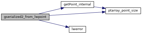
static uint8_t * getPoint_internal(const POINTARRAY *pa, uint32_t n)
Definition lwinline.h:75
References POINTARRAY::flags, LWPOINT::flags, FLAGS_GET_ZM, getPoint_internal(), LWDEBUGF, lwerror(), POINTARRAY::npoints, LWPOINT::point, POINTTYPE, and ptarray_point_size().
Referenced by gserialized2_from_lwgeom_any().
Here is the call graph for this function:
Here is the caller graph for this function: