Loading...
Searching...
No Matches
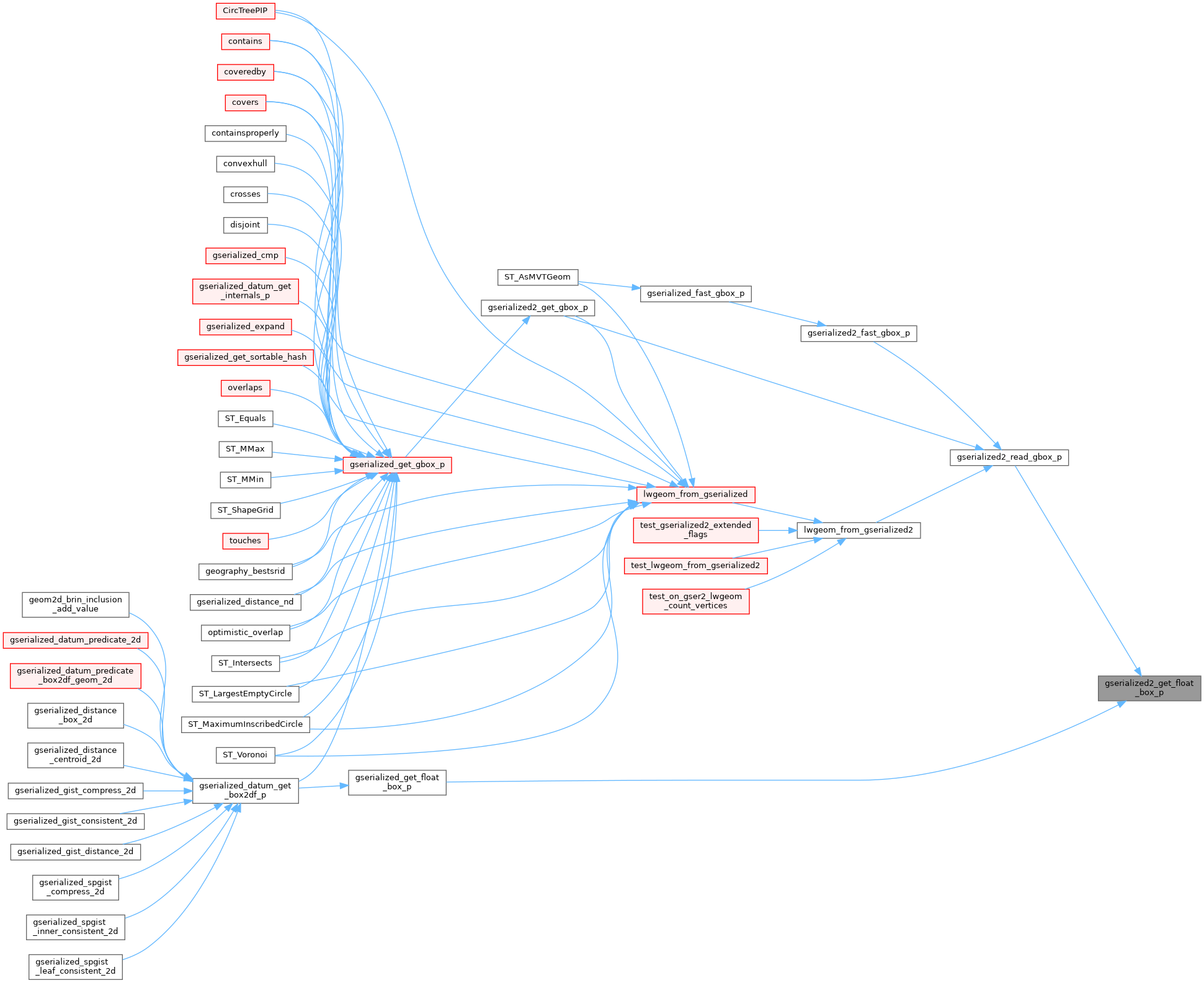
◆ gserialized2_get_float_box_p()
| const float * gserialized2_get_float_box_p | ( | const GSERIALIZED * | g, |
| size_t * | ndims | ||
| ) |
Point into the float box area of the serialization.
Definition at line 295 of file gserialized2.c.
296{
297 /* Cannot do anything if there's no box */
299 return NULL;
300
301 uint8_t *ptr = (uint8_t*)(g->data);
303
304 if (ndims)
305 *ndims = bndims;
306
307 /* Advance past optional extended flags */
309 ptr += 8;
310
311 return (const float *)(ptr);
312}
int gserialized2_has_extended(const GSERIALIZED *g)
Check if a GSERIALIZED has an extended flags section.
Definition gserialized2.c:153
int gserialized_has_bbox(const GSERIALIZED *g)
Check if a GSERIALIZED has a bounding box without deserializing first.
Definition gserialized.c:192
References GSERIALIZED::data, G2FLAGS_NDIMS_BOX, GSERIALIZED::gflags, gserialized2_has_extended(), and gserialized_has_bbox().
Referenced by gserialized2_read_gbox_p(), and gserialized_get_float_box_p().
Here is the call graph for this function:
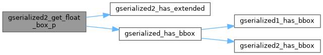
Here is the caller graph for this function: