Loading...
Searching...
No Matches
◆ ptarray_nudge_geodetic()
|
static |
When features are snapped or sometimes they are just this way, they are very close to the geodetic bounds but slightly over.
This routine nudges those points, and only those points, back over to the bounds. http://trac.osgeo.org/postgis/ticket/1292
Definition at line 3200 of file lwgeodetic.c.
3201{
3202
3203 uint32_t i;
3204 POINT4D p;
3207 static double tolerance = 1e-10;
3208
3209 if ( ! pa )
3211
3213 {
3214 getPoint4d_p(pa, i, &p);
3216 {
3217 p.x = -180.0;
3218 altered = LW_TRUE;
3219 }
3221 {
3222 p.x = 180.0;
3223 altered = LW_TRUE;
3224 }
3226 {
3227 p.y = -90.0;
3228 altered = LW_TRUE;
3229 }
3231 {
3232 p.y = 90.0;
3233 altered = LW_TRUE;
3234 }
3236 {
3237 ptarray_set_point4d(pa, i, &p);
3238 altered = LW_FALSE;
3239 rv = LW_TRUE;
3240 }
3241 }
3242 return rv;
3243}
int getPoint4d_p(const POINTARRAY *pa, uint32_t n, POINT4D *point)
Definition lwgeom_api.c:125
void ptarray_set_point4d(POINTARRAY *pa, uint32_t n, const POINT4D *p4d)
Definition lwgeom_api.c:369
void void lwerror(const char *fmt,...) __attribute__((format(printf
Write a notice out to the error handler.
Definition liblwgeom.h:413
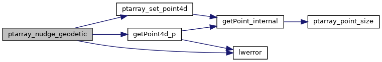
References getPoint4d_p(), LW_FALSE, LW_TRUE, lwerror(), POINTARRAY::npoints, ptarray_set_point4d(), POINT4D::x, and POINT4D::y.
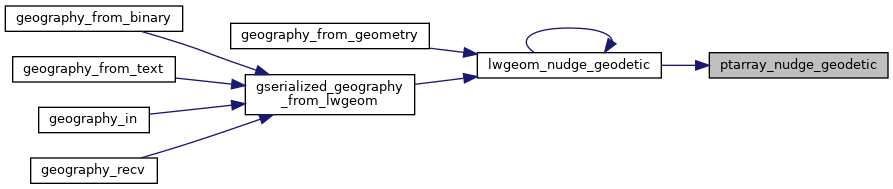
Referenced by lwgeom_nudge_geodetic().
Here is the call graph for this function:
Here is the caller graph for this function: