Loading...
Searching...
No Matches
◆ ptarray_length_spheroid()
| double ptarray_length_spheroid | ( | const POINTARRAY * | pa, |
| const SPHEROID * | s | ||
| ) |
Definition at line 3092 of file lwgeodetic.c.
3093{
3094 GEOGRAPHIC_POINT a, b;
3095 double za = 0.0, zb = 0.0;
3096 POINT4D p;
3097 uint32_t i;
3099 double length = 0.0;
3100 double seglength = 0.0;
3101
3102 /* Return zero on non-sensical inputs */
3104 return 0.0;
3105
3106 /* See if we have a third dimension */
3108
3109 /* Initialize first point */
3110 getPoint4d_p(pa, 0, &p);
3112 if ( hasz )
3113 za = p.z;
3114
3115 /* Loop and sum the length for each segment */
3117 {
3118 seglength = 0.0;
3119 getPoint4d_p(pa, i, &p);
3121 if ( hasz )
3122 zb = p.z;
3123
3124 /* Special sphere case */
3127 /* Spheroid case */
3128 else
3130
3131 /* Add in the vertical displacement if we're in 3D */
3132 if ( hasz )
3133 seglength = sqrt( (zb-za)*(zb-za) + seglength*seglength );
3134
3135 /* Add this segment length to the total */
3136 length += seglength;
3137
3138 /* B gets incremented in the next loop, so we save the value here */
3139 a = b;
3140 za = zb;
3141 }
3142 return length;
3143}
int getPoint4d_p(const POINTARRAY *pa, uint32_t n, POINT4D *point)
Definition lwgeom_api.c:125
void geographic_point_init(double lon, double lat, GEOGRAPHIC_POINT *g)
Initialize a geographic point.
Definition lwgeodetic.c:180
double sphere_distance(const GEOGRAPHIC_POINT *s, const GEOGRAPHIC_POINT *e)
Given two points on a unit sphere, calculate their distance apart in radians.
Definition lwgeodetic.c:896
double spheroid_distance(const GEOGRAPHIC_POINT *a, const GEOGRAPHIC_POINT *b, const SPHEROID *spheroid)
Computes the shortest distance along the surface of the spheroid between two points,...
Definition lwspheroid.c:79
Definition liblwgeom.h:413
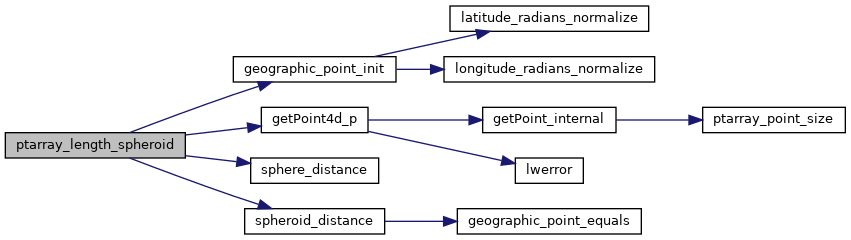
References POINTARRAY::flags, FLAGS_GET_Z, geographic_point_init(), getPoint4d_p(), LW_FALSE, POINTARRAY::npoints, s, sphere_distance(), spheroid_distance(), POINT4D::x, POINT4D::y, and POINT4D::z.
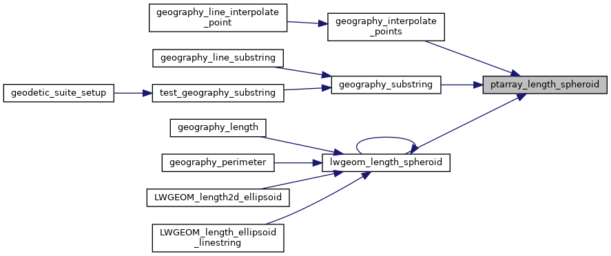
Referenced by geography_interpolate_points(), geography_substring(), and lwgeom_length_spheroid().
Here is the call graph for this function:
Here is the caller graph for this function: