Loading...
Searching...
No Matches
◆ lwpoly_pt_outside_hack()
Definition at line 1441 of file lwgeodetic.c.
1442{
1443 GEOGRAPHIC_POINT g1, g2, gSum;
1444 POINT4D p1, p2;
1445 POINT3D q1, q2, qMid, qCross, qSum;
1446 POINTARRAY *pa;
1449 if (poly->nrings < 1)
1451 pa = poly->rings[0];
1454
1455 /* First two points of ring */
1456 getPoint4d_p(pa, 0, &p1);
1457 getPoint4d_p(pa, 1, &p2);
1458 /* Convert to XYZ unit vectors */
1461 geog2cart(&g1, &q1);
1462 geog2cart(&g2, &q2);
1463 /* Mid-point of first two points */
1464 vector_sum(&q1, &q2, &qMid);
1465 normalize(&qMid);
1466 /* Cross product of first two points (perpendicular) */
1467 cross_product(&q1, &q2, &qCross);
1468 normalize(&qCross);
1469 /* Invert it to put it outside, and scale down */
1470 vector_scale(&qCross, -0.2);
1471 /* Project midpoint to the right */
1472 vector_sum(&qMid, &qCross, &qSum);
1473 normalize(&qSum);
1474 /* Convert back to lon/lat */
1475 cart2geog(&qSum, &gSum);
1479}
int getPoint4d_p(const POINTARRAY *pa, uint32_t n, POINT4D *point)
Definition lwgeom_api.c:125
void vector_scale(POINT3D *n, double scale)
Scale a vector out by a factor.
Definition lwgeodetic.c:487
void cart2geog(const POINT3D *p, GEOGRAPHIC_POINT *g)
Convert cartesian coordinates on unit sphere to spherical coordinates.
Definition lwgeodetic.c:414
void geographic_point_init(double lon, double lat, GEOGRAPHIC_POINT *g)
Initialize a geographic point.
Definition lwgeodetic.c:180
static void cross_product(const POINT3D *a, const POINT3D *b, POINT3D *n)
Calculate the cross product of two vectors.
Definition lwgeodetic.c:454
void vector_sum(const POINT3D *a, const POINT3D *b, POINT3D *n)
Calculate the sum of two vectors.
Definition lwgeodetic.c:465
void geog2cart(const GEOGRAPHIC_POINT *g, POINT3D *p)
Convert spherical coordinates to cartesian coordinates on unit sphere.
Definition lwgeodetic.c:404
static int lwgeom_is_empty(const LWGEOM *geom)
Return true or false depending on whether a geometry is an "empty" geometry (no vertices members)
Definition lwinline.h:199
Definition liblwgeom.h:457
Definition liblwgeom.h:401
Definition liblwgeom.h:413
Definition liblwgeom.h:426
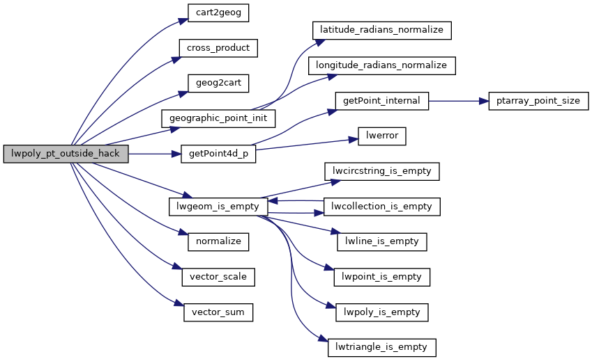
References cart2geog(), cross_product(), geog2cart(), geographic_point_init(), getPoint4d_p(), GEOGRAPHIC_POINT::lat, GEOGRAPHIC_POINT::lon, LW_FAILURE, LW_SUCCESS, lwgeom_is_empty(), normalize(), POINTARRAY::npoints, LWPOLY::nrings, rad2deg, LWPOLY::rings, vector_scale(), vector_sum(), POINT2D::x, POINT4D::x, POINT2D::y, and POINT4D::y.
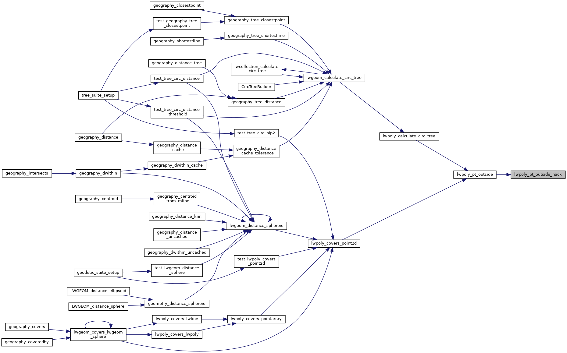
Referenced by lwpoly_pt_outside().
Here is the call graph for this function:
Here is the caller graph for this function: