Loading...
Searching...
No Matches
◆ z_to_latitude()
| double z_to_latitude | ( | double | z, |
| int | top | ||
| ) |
Used in great circle to compute the pole of the great circle.
Definition at line 1001 of file lwgeodetic.c.
1002{
1004 double tlat = acos(z);
1007 {
1008 if (top) return M_PI_2;
1009 else return -1.0 * M_PI_2;
1010 }
1011 if (fabs(tlat) > M_PI_2 )
1012 {
1013 tlat = sign * (M_PI - fabs(tlat));
1014 }
1015 else
1016 {
1017 tlat = sign * tlat;
1018 }
1020 return tlat;
1021}
#define SIGNUM(n)
Macro that returns: -1 if n < 0, 1 if n > 0, 0 if n == 0.
Definition liblwgeom_internal.h:128
References FP_IS_ZERO, LWDEBUGF, and SIGNUM.
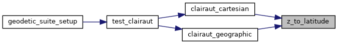
Referenced by clairaut_cartesian(), and clairaut_geographic().
Here is the caller graph for this function: