Loading...
Searching...
No Matches
◆ ptarray_check_geodetic()
|
static |
Definition at line 2916 of file lwgeodetic.c.
2917{
2918 uint32_t t;
2919 POINT2D pt;
2920
2921 assert(pa);
2922
2924 {
2925 getPoint2d_p(pa, t, &pt);
2926 /* printf( "%d (%g, %g)\n", t, pt.x, pt.y); */
2929 }
2930
2932}
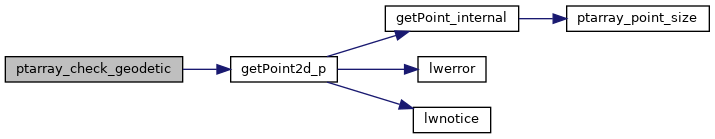
int getPoint2d_p(const POINTARRAY *pa, uint32_t n, POINT2D *point)
Definition lwgeom_api.c:342
Definition liblwgeom.h:389
References getPoint2d_p(), LW_FALSE, LW_TRUE, POINTARRAY::npoints, POINT2D::x, and POINT2D::y.
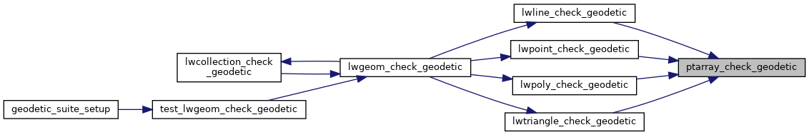
Referenced by lwline_check_geodetic(), lwpoint_check_geodetic(), lwpoly_check_geodetic(), and lwtriangle_check_geodetic().
Here is the call graph for this function:
Here is the caller graph for this function: