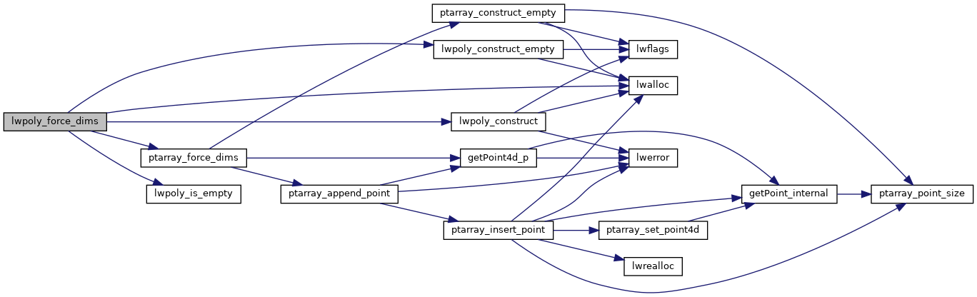
◆ lwpoly_force_dims()
Definition at line 393 of file lwpoly.c.
POINTARRAY * ptarray_force_dims(const POINTARRAY *pa, int hasz, int hasm, double zval, double mval)
Definition: ptarray.c:1188
int lwpoly_is_empty(const LWPOLY *poly)
LWPOLY * lwpoly_construct_empty(int32_t srid, char hasz, char hasm)
Definition: lwpoly.c:161
LWPOLY * lwpoly_construct(int32_t srid, GBOX *bbox, uint32_t nrings, POINTARRAY **points)
Definition: lwpoly.c:43
Definition: liblwgeom.h:517
Definition: liblwgeom.h:426
References lwalloc(), lwpoly_construct(), lwpoly_construct_empty(), lwpoly_is_empty(), LWPOLY::nrings, ptarray_force_dims(), LWPOLY::rings, LWPOLY::srid, and LWPOLY::type.
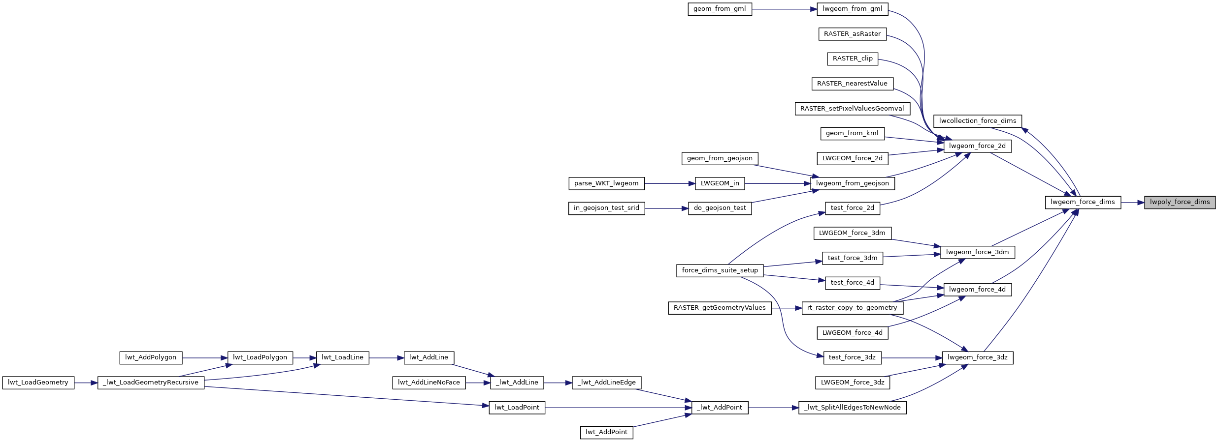
Referenced by lwgeom_force_dims().
Here is the call graph for this function:
Here is the caller graph for this function: